
Artaria and Company (sold)
Artaria and Company (1765 - c. 1890) was founded by Carlo Giovanni Artaria in 1765 in Vienna, then the capital of the Austro-Hungarian Empire. Originally a specialty publisher of sheet music, including works by Hayden, Mozart, Beethoven, and Schubert, the company had expanded its business to include maps by the mid-1770s. The company collaborated with Joseph von Scheda and distributed maps for the Militärgeografischen Institutes. Artaria continued to be a major European publisher well into the 20th century. In 1920, the cartographic section was sold to Freytag and Berndt, who published under the imprint Freytag-Berndt & Artaria.
Exceptionally rare wall map of Slovenia.
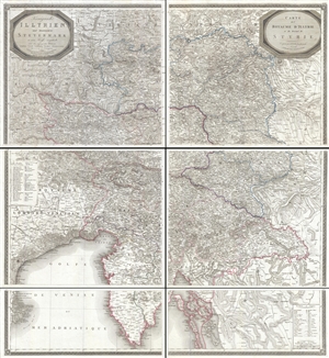
Königreich Illyrien und Herzogthum Steyermark… / Carte du Royaume d'Jllyrie et du Duché de Styrie.
sold
- Digital Map Information
- Suitable for large format printing
- DPI: 300
- File Size: 73.43 MB
- File Type: ZIP / TIFF
- ICC color profile embedded
- Delivered instantly via download link
An exceptional and rare 1819 wall map of Slovenia and Croatia by Georg Adam Zürner and Artaria. Centered on Ljubljana (Laibach), the map covers all of Slovenia along with parts of neighboring Croatia, Venice, and Austria It extends from Venice (Venezia, Italy) ... (more details)
Monumental wall map of Itay.
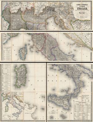
CARTA STRADALE E POSTALE DELL'ITALIA Disegnata secondo le Carte e le Opere più accreditate dei moderni geografi da CARLO CERRI nella proporzione di 1:804,000 del naturale l'anno 1852.
sold
- Digital Map Information
- Suitable for large format printing
- File Size: 1714.37 MB
- File Type: ZIP / TIFF
- ICC color profile embedded
- Delivered instantly via download link
This is the scarce 1859 edition of Carlo Cerri's monumental postal map of Italy. First published in 1849, this is one of the largest and most magnificent maps of Italy to emerge from the 19th century – the age of the Grand Tour. This particular example was ... (more details)
A superbly executed map of Lake Como and its region.
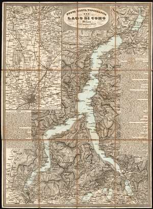
Nuova Carta Topografica Del Lago Di Como.
sold
- Digital Map Information
- Suitable for large format printing
- Full resolution TIFF file
- ICC color profile embedded
- Delivered instantly via download link
This is a rare 1864 Artaria map of Lake Como and its vicinity, produced shortly after Giuseppe Garibaldi's campaign recaptured the territory from Austria. It masterfully evokes the mountainous terrain, shown with some of the finest hachure-engraving we have seen in this medium. The map includes the area surrounding the cities of Como and Lecco, and the Lago di Pusiano, Lago di Annone, Lago di Mezzola, and the smaller lakes surrounding Lake Como. An inset map in the upper left details the route between Como and Milan, showing the rail connection between the two cities via Monza. The map includes detailed descriptive text for both the city of Como and the lake, its towns and its attractions. (more details)
Romanic steam travel on the Danube.
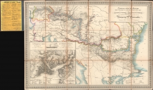
Carte du cours du Danube depuis Ulm jusqu'à son embouchure dans la Mer noire Guide de Voyage a Constantinople sur le Danube avec indication de tous les points de la Navigation des Pyroscaphes sur cette route.
sold
- Digital Map Information
- Suitable for large format printing
- Full resolution TIFF file
- ICC color profile embedded
- Delivered instantly via download link
A beautiful 1864 Artaria map harkening to the romantic early days of steam navigation on the Danube. (more details)