
Atlas (sold) (アトラス社)

Atlas (アトラス社; fl. c. 1930 – 1945) was a Tokyo-based firm that drafted, engraved, and printed maps and books. Its maps in particular focused on the geography of Japan's growing empire in the 1930s and early 1940s.
AKA: アトラス社
Exceptional boxed atlas.
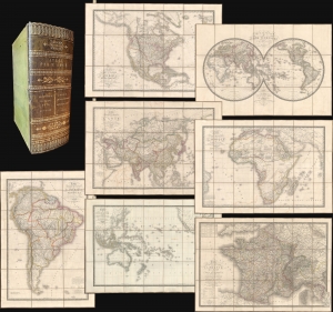
Atlas par H. Brue.
sold
- Digital Map Information
- Suitable for large format printing
- Full resolution TIFF file
- ICC color profile embedded
- Delivered instantly via download link
A remarkable cased 1827 atlas by Adrien-Hubert Brué. Housed in a handsome gilt-stamped leather case, the atlas features 8 dissected folding maps covering all parts of the world. (more details)
A gorgeous view of the Japanese home islands.
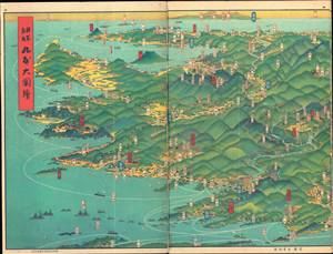
日本鳥瞰 大日本パノラマ大圖繪張 / [Bird's Eye View of Japan - Japan Panorama Foldout Map].
sold
- Digital Map Information
- Suitable for large format printing
- Full resolution TIFF file
- ICC color profile embedded
- Delivered instantly via download link
This is a beautiful 1927 panoramic view of Japan drawn by Yoshida Hatsusaburō and published by the Osaka Mainichi Shimbun. The view is published in atlas format, with pages printed on both sides. It is divided into three sections, each consisting of six pages, covering the entirety of Kyūshū, Honshū, and Shikoku. (more details)
Japan's opening offensive of the Second Sino-Japanese War.
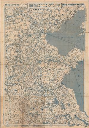
This is a 1937 Fuchida Tadayoshi map of China published in King (キング) magazine during the opening phase of the Second Sino-Japanese War (World War II). (more details)