
Bianconi, F. (sold)

F. Bianconi (fl. c. 1870 - 1900) was a cartographer active in France during the late 19th century. He prepared a series of maps of South American countries, including Colombia and Equador, Bolivia, Venezuela, Chile, and Uruguay and Argentina.
An incredible map of Guatemala.
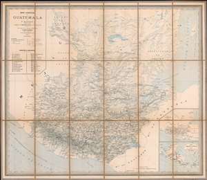
Mapa Comercial de Guatemala.
sold
- Digital Map Information
- Suitable for large format printing
- File Size: 84.77 MB
- File Type: ZIP / TIFF
- ICC color profile embedded
- Delivered instantly via download link
This is a rare separately issued F. Bianconi map of Guatemala. The map depicts the region from Mexico to the Atlantic Ocean and from Tikal to El Salvador. Highly detailed, myriad cities, towns, and villages are labeled throughout. Roads, railroads, lakes, and ... (more details)
Natural resources of Guatemala along with its physical and political geography.
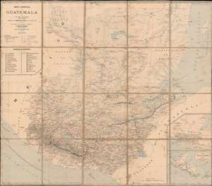
Mapa Comercial de Guatemala.
sold
- Digital Map Information
- Suitable for large format printing
- File Size: 43.77 MB
- File Type: ZIP / TIFF
- ICC color profile embedded
- Delivered instantly via download link
This is a c. 1890 F. Bianconi economic map of Guatemala. As a commercial map, Guatemala's rich natural resources are extolled from Tikal to the Pacific Ocean. Small italic print in both French and Spanish indicates the different products produced, grown, harvested, or raised. These include sarsaparilla, vanilla, mahogany, cedar, pastureland, cotton, wheat, sugarcane, and other grains. 'Forests' are also indicated as important sources of cedar, mahogany, and other tropical woods. (more details)
Natural resources of Guatemala along with its physical and political geography.
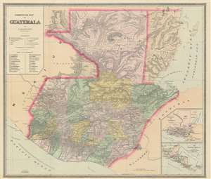
Commercial Map of Guatemala.
sold
- Digital Map Information
- Suitable for large format printing
- File Size: 29.42 MB
- File Type: ZIP / TIFF
- ICC color profile embedded
- Delivered instantly via download link
This is an 1891 F. Bianconi economic map of Guatemala. The map depicts the region from the Pacific Ocean and Mexico to Honduras, El Salvador, and the Caribbean Sea and from Mexico and the Caribbean Sea to El Salvador and the Pacific Ocean. As a commercial map, Guatemala's rich natural resources are extolled from Tikal to the Pacific Ocean. Small print in italics appear throughout the map in both French and Spanish indicate the different products produced, grown, harvested, or raised in a certain region, and these include sarsaparilla, vanilla, mahogany, cedar, pastureland, cotton, wheat, sugarcane, and other grains. 'Forests' is also indicated regularly, creating the presumption that these forests were used to export wood, but not a specific kind of wood, like cedar and mahogany, which are specifically named. (more details)
Natural resources of Guatemala along with its physical and political geography.
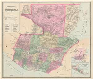
Commercial Map of Guatemala.
sold
- Digital Map Information
- Suitable for large format printing
- File Size: 25.5 MB
- File Type: ZIP / TIFF
- ICC color profile embedded
- Delivered instantly via download link
This is an 1891 F. Bianconi economic map of Guatemala. The map depicts the region from the Pacific Ocean and Mexico to Honduras, El Salvador, and the Caribbean Sea and from Mexico and the Caribbean Sea to El Salvador and the Pacific Ocean. As a commercial map, Guatemala's rich natural resources are extolled from Tikal to the Pacific Ocean. Small print in italics appear throughout the map in both French and Spanish indicate the different products produced, grown, harvested, or raised in a certain region, and these include sarsaparilla, vanilla, mahogany, cedar, pastureland, cotton, wheat, sugarcane, and other grains. 'Forests' is also indicated regularly, creating the presumption that these forests were used to export wood, but not a specific kind of wood, like cedar and mahogany, which are specifically named. (more details)