
Chapman, Silas (sold)
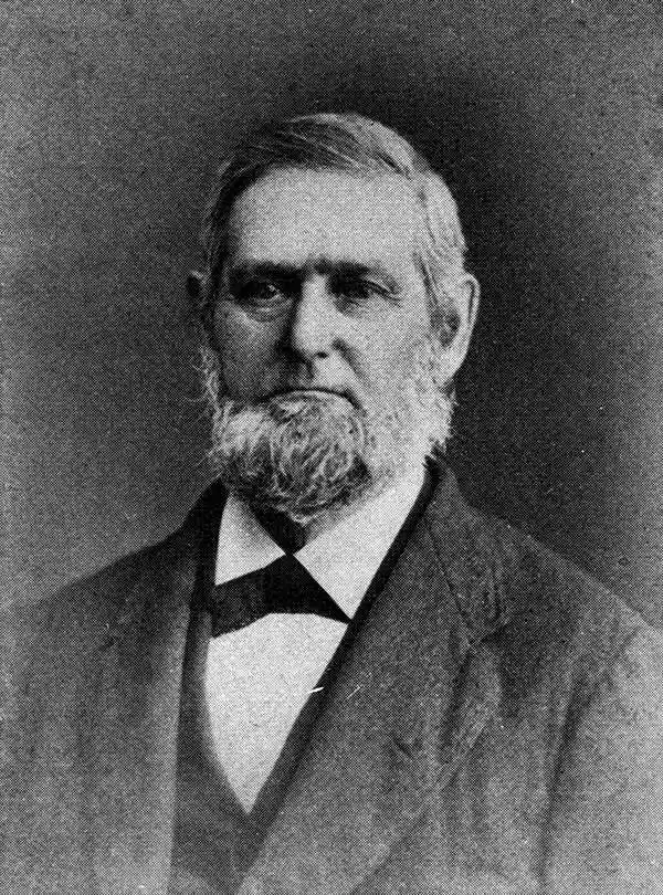
Silas Chapman (June 9, 1813 - December 14, 1899) was active publisher of Midwest maps from roughly 1850 to the mid-1870s. Chapman was born in Southampton, Massachusetts and as a young Man attended New York University. In 1841 he moved to Prairieville (Waukesha) Wisconsin where he worked in academia as a local principle then as a schoolmaster in Milwaukee. Around 1843 his turned his attentions to publishing and briefly partnered with printer Philetus C. Hale until striking out independently in 1850. It was in this period - post 1850 - that his most important maps were published. From roughly 1850 to 1870, Chapman published a series of important wall and pocket format maps of the Midwest focusing specifically on the states of Michigan, Minnesota, Iowa, Minnesota and Illinois. Upon his retirement the Chapman firm was acquired by Dyer and Pasmore, who continued to update and republish his maps into the 1880s.
Chapman’s Sectional Map of Wisconsin.
sold
- Digital Map Information
- Suitable for large format printing
- File Size: 6.53 MB
- File Type: ZIP / TIFF
- ICC color profile embedded
- Delivered instantly via download link
This is an extremely rare and unusual 1856 pocket map of Wisconsin by Silas Chapman. Chapman appears to have published two maps pocket maps of Wisconsin in 1856, this map, delineating the entire state, and a another smaller map showing only the surveyed portions ... (more details)
Chapman’s Township Map of the Northwest Compiled from the United States Surveys and other authentic Sources.
sold
- Digital Map Information
- Suitable for large format printing
- File Size: 24.58 MB
- File Type: ZIP / TIFF
- ICC color profile embedded
- Delivered instantly via download link
Offered is an exceedingly rare pocket issue map of the states of Illinois, Iowa, and Wisconsin, with parts of Michigan, Minnesota, Nebraska and Kansas. Printed in 1857 by Silas Chapman and his successors, Dyer & Pasmore. This rare map depicts the region in ... (more details)
Chapman’s Sectional Map of the Surveyed Part of Minnesota.
sold
- Digital Map Information
- Suitable for large format printing
- File Size: 6.18 MB
- File Type: ZIP / TIFF
- ICC color profile embedded
- Delivered instantly via download link
This historically important pocket map of Minnesota by Silas Chapman was made shortly after the it entered the Union in order to lay out the counties and districts of the new state. Counties in the extreme west and south are unorganized and left completely ... (more details)