
Charle, Jean Baptiste-Louis (sold)

Jean Baptiste-Louis Charle (fl. c. 1800 - 1850) was a prominent French Geographer active in the early to mid 19th century. His is known to have worked with Victor Levassuer, Lapie, and others. Despite a large corpus of work, little is known of Charle's life.
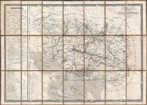
Morbihan / Nouvel Atlas National 1833.
sold
- Digital Map Information
- Suitable for large format printing
- DPI: 300
- File Size: 15.56 MB
- File Type: ZIP / TIFF
- ICC color profile embedded
- Delivered instantly via download link
A rare and very attractive 1833 map of the Morbihan region of Bretagne (Breton or Brittany), France. Covers the entire Province from the Department de Finisterre to the Department de La Loire. Morbihan is an exceptionally beautiful part of the Breton cost noted ... (more details)
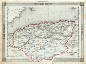
Carte l'Algerie.
sold
- Digital Map Information
- Suitable for large format printing
- DPI: 300
- File Size: 16.26 MB
- File Type: ZIP / TIFF
- ICC color profile embedded
- Delivered instantly via download link
An uncommon and extremely attractive 1852 map of Algeria. The French colony of Algeria is depicted divided into the administrative districts of Oran, Alger and Constantine. The map also includes adjacent portions of Morocco in the west and Tunis in the east. ... (more details)