
Crafts, Nathaniel Henry (sold)
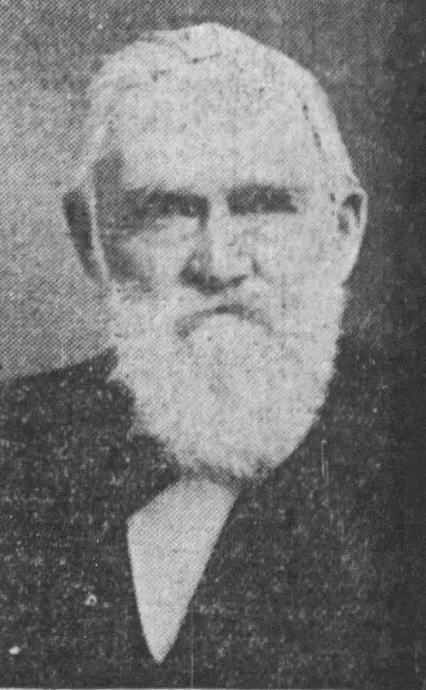
Nathaniel Henry Crafts (March 15, 1828 - June 14, 1908) served as the City Engineer of Boston from 1864 through 1872. Born in Watertown, Massachusetts, Crafts worked for his brother Joseph in the wool pulling trade from the age of sixteen for about five years until leaving to join the offices of the chief engineer of the eastern division of the Boston Water Works, William S. Whitwell, in June 1849. He worked for Whitwell until 1851, when he left to work in the office of the city engineer of Boston under E. S. Chesbrough. Chesbrough served as city engineer for four years and then Crafts worked for his successor, James Slade, until 1864. Crafts succeeded Slade as city engineer. The completion of the Chestnut Hill Reservoir ranked among the most important of the projects completed during Crafts' tenure as city engineer. After he resigned as city engineer in 1872, Crafts worked as a consultant for cities and towns throughout the northeastern United States. He married Emeline Broad on November 13, 1851, with whom he had at least two daughters.
Expansion and urbanization.
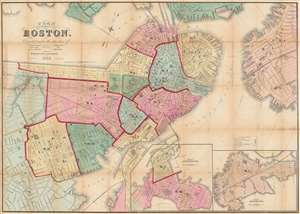
Plan of Boston Corrected under the direction of Charles W. Slack, Lewis Rice, Danl. J. Sweeney, Alderman, Com. Council, Committee on Printing, of 1867, by N. Henry Crafts, City Engineer.
sold
- Digital Map Information
- Suitable for large format printing
- Full resolution TIFF file
- ICC color profile embedded
- Delivered instantly via download link
An 1867 city map of Boston produced for the Boston City Engineer's Office. This map, updated regularly and based upon official engineering records, represents the finest mapping of Boston between 1860 and 1870 - Boston's most vibrant period of expansion, landfill development, urbanization, and modernization. (more details)
The official map of Boston following the Annexation of Roxbury.
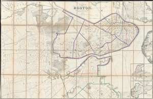
Plan of Boston.
sold
- Digital Map Information
- Suitable for large format printing
- File Size: 111.66 MB
- File Type: ZIP / TIFF
- ICC color profile embedded
- Delivered instantly via download link
The Boston City Engineer's Office produced this 1868 city plan or map of Boston. Depicting all the city of Boston, including the Roxbury, which was annexed into Boston January 5, 1868, shortly before this map went to press. Insets of South Boston and East Boston are situated on the bottom right. The color coding on the map refers to school districts with red indicating boy's schools, blue girl's schools, and green co-educational schools. As the most up to date official map of Boston, this map provided the base cartography for numerous subsequent commercial maps, including those issued by A. J. Johnson and Samuel Augustus Mitchell Jr. (more details)