
Croisey, P. (sold)
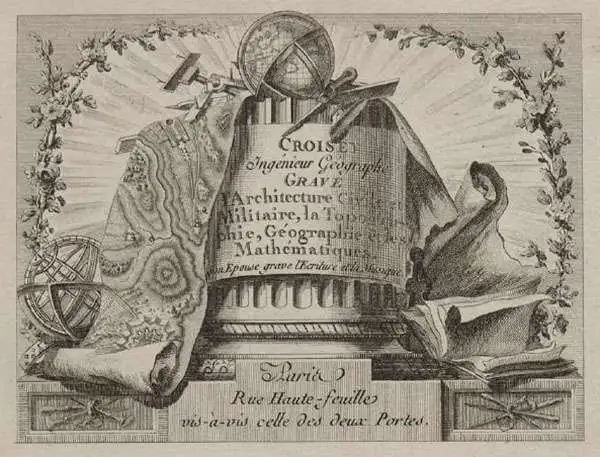
P. Croisey (fl. c. 1765 – c. 1800) was a French line-engraver active in the 18th century. Croisey was based in Versailles, France and is best known for his fine portrait of Marie Antoinette, when Dauphiness. He also maintained a location on Rue Haute-Feuille, Pairs. One of his early trade cards survives in which he describes himself as a geographical engineer and engraver of civil and military architecture, topography, and geography. His wife, Madame Croisey was also an engraver, specializing in music and text. He died around 1800.
Rare, Detailed Map of the Theatre of the Carnatic Wars and the First Mysore War
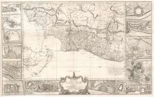
Theatre de la Guerre Dans l'Inde sur la Coste de Coromandel Par M. B. C. T. 1770.
sold
- Digital Map Information
- Suitable for large format printing
- Full resolution TIFF file
- ICC color profile embedded
- Delivered instantly via download link
This superb 1770 map of Tamil Nadu, India was engraved in Paris by P. Croisey and is attributed to Jean Bourcet, the chief French military engineer in the city of Pondicherry during the Seven Years’ War. The map, oriented to the west, shows the Carnatic and the southern Coromandel Coast, which was the theatre of the Carnatic Wars and the First Anglo-Mysore War through 1740s and 1760s. Though often fought locally between the Nawabs of the Carnatic and the Sultanate of Mysore, the conflict was essentially between England’s East India Company and France. (more details)
Rare, detailed map of the Theatre of the Carnatic Wars and the First Mysore War.

Theatre de la Guerre Dans l'Inde sur la Coste de Coromandel Par M. B. C. T. 1770.
sold
- Digital Map Information
- Suitable for large format printing
- Full resolution TIFF file
- ICC color profile embedded
- Delivered instantly via download link
This superb 1770 map of Tamil Nadu, India, was engraved in Paris by P. Croisey and is attributed to Jean Bourcet, the chief French military engineer in the city of Pondicherry during the Seven Years' War (1756 - 1763). The map, oriented to the west, depicts the Carnatic and the southern Coromandel Coast, the theatre of the Carnatic Wars (1744 - 1763) and the First Anglo-Mysore War (1767 - 1799). Though often fought locally between the Nawabs of the Carnatic and the Sultanate of Mysore, the conflict was essentially between the British East India Company and France. (more details)
Unusual map illustrating the discoveries of Russian fur traders in the Aleutian Islands after Bering's expedition but before Cook.
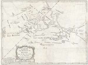
Carte des Découverts des Russes dans la Mer Orientale, et en Amerique Pour Servir à L'essai, Sur le commerce de Russie.
sold
- Digital Map Information
- Suitable for large format printing
- DPI: 300
- File Size: 9.14 MB
- File Type: ZIP / TIFF
- ICC color profile embedded
- Delivered instantly via download link
This is a rare and unusual 1777 map of the north Pacific in the vicinity of Alaska, the Bering Straits, and northeastern Siberia based upon Russian Promyshlenniki (trader) exploration. The map post-dates Russian state sponsored Vitus Bering Great Northern ... (more details)