
Dingle, Edwin John (sold)
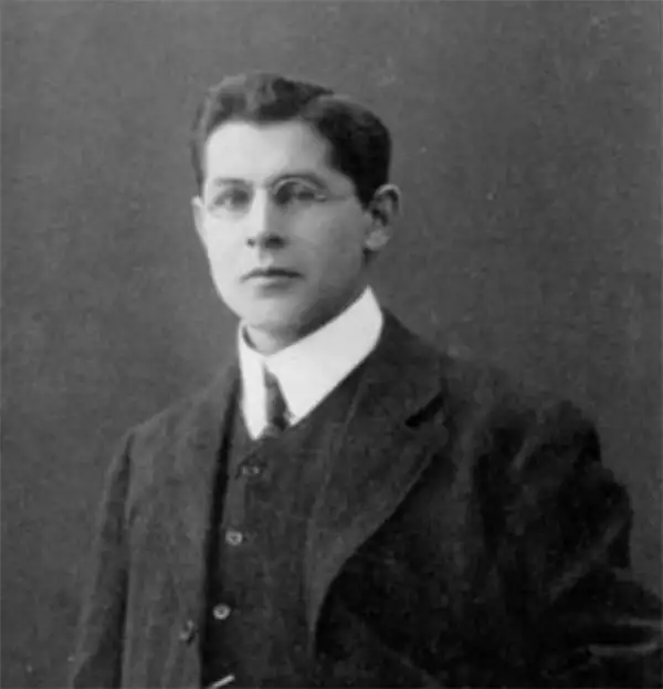
Edwin John Dingle (April 6, 1881 - January 28, 1972) was an English journalist, publisher, author, and mystical guru. Dingle was born in Cornwall but orphaned at just 9. He studied to become a journalist, moving to Singapore in 1900 to cover the Far East. He traveled extensively in China and was involved with the early days of publishing in Shanghai. From Shanghai and Singapore, he also published several early maps of China, Shanghai, the The New Atlas and Commercial Gazetteer of China, and several books on the history of China. In 1910, Dingle traveled to Tibet, where he reportedly studied under a Tibetan 'spiritual master' and Lama. On his return from Tibet, he witnessed the 1911 Xinhai Revolution, observing events in both Wuhan and Shanghai, as well as the brutal attacks on Hankou and Hanyang. After some 21 years in China, Dingle relocated to Oakland California, where he lived in seclusion meditating and practicing his own version of Pranayama in pursuit of mystical powers, extrasensory perception, and spiritual development. There Dingle founded the Institute of Mentalphysics in 1933-34, styling himself President and Preceptor Emeritus. The institute was well financed and hired the famed architect Frank Lloyd Wright to design a near 400-acre campus in Joshua Tree. At the institute he called himself by his adopted Chinese name, Ding Le Mei (丁乐梅). Dingle died in 1972 in California.
The largest and most decorative map of Shanghai!
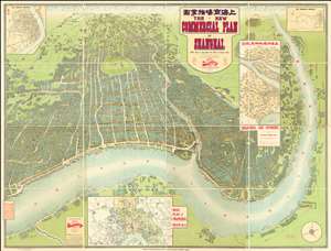
The New Commercial Plan of Shanghai (with which is incorporated the Wharf and Godown Plan). Surveyed, constructed and designed by the Far Eastern Geographical Establishment 6 Kiukiang Road Shanghai.
sold
- Digital Map Information
- Suitable for large format printing
- File Size: 300.62 MB
- File Type: ZIP / TIFF
- ICC color profile embedded
- Delivered instantly via download link
The greatest and most impressive map of Shanghai we have yet seen. Issued in 1915, this is the Far Eastern Geographical Establishment / Edwin John Dingle / H. J. Fruin pictorial view and map of Shanghai. The map is a staggering 83 x 63 inches. The view looks on Shanghai from the east, at a high point across the Huangpu River in what is today the hip Pudong district. In includes the Bund, the Shanghai International Settlement, and the British and French Concessions, as well as the old Chinese City at left. It was issued shortly after the shortly after the 1911 Xinhai Revolution. One can follow Wusong Creek westward into the Horizon, which is illustrated with clouds. Inset maps detail Shanghai and Environs, Road Plan of Shanghai, The Nantao District, and The Rubicon District. (more details)