
Doolittle, Amos (sold)
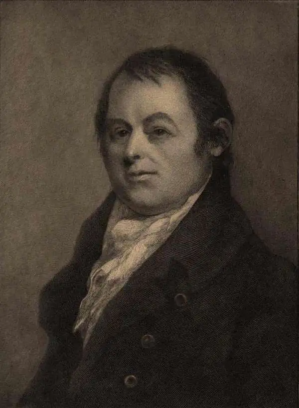
Amos Doolittle (May 18, 1754 - February 2, 1832) was an American engraver, silversmith, and map publisher active in Connecticut during the late 18th and early 19th centuries. Most likely because of the overlap in their careers and lifetimes, Doolittle is often referred to as the 'Revere of Connecticut'. He was born in Cheshire, Connecticut, the son of Ambrose and Martha Munson Doolittle. He apprenticed under the silversmith Eliakim Hitchcock. Doolittle was a self-taught artist who specialized in copper engraved scenes from the American Revolutionary War. Having acquired a considerable reputation as an engraver, Doolittle was sought out by many early Americans eager to learn the art, including James Wilson and Ralph Earl. Cartographically Doolittle is recognized for engraving several important maps of New Haven and Connecticut. Later in life he began publishing as 'Amos Doolittle and Son', having brought his sone into the business. We do not know who this is, but at least one imprint is signed 'Amos and A. B. Doolittle', so he may be Amos Jr.? During the Revolutionary War he served under Benedict Arnold as a member of the Governor's Second Company of Guards. Following the war he settled in New Haven, Connecticut and is buried in that town's Grove Street Cemetery.
Earliest Atlas Map of Vermont Published in the United States.
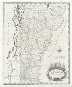
Vermont From Actual Survey.
sold
- Digital Map Information
- Suitable for large format printing
- DPI: 600
- File Size: 18.24 MB
- File Type: ZIP / TIFF
- ICC color profile embedded
- Delivered instantly via download link
The first map of Vermont published in the United States. This 1795 work was drawn and engraved by Amos Doolittle for Matthew Carey's Carey's American Edition of Guthrie's Geography Improved, the first atlas published in the United States. (more details)
Earliest Atlas Map of Vermont Published in the United States - here in striking old color.
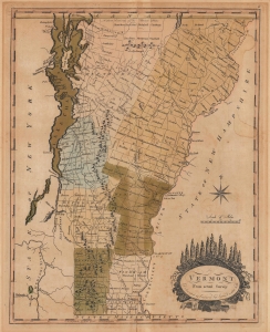
Vermont From Actual Survey.
sold
- Digital Map Information
- Suitable for large format printing
- File Size: 11.17 MB
- File Type: ZIP / TIFF
- ICC color profile embedded
- Delivered instantly via download link
This is the first map of Vermont published in the United States, here in striking original color. This 1795 work was drawn and engraved by Amos Doolittle for Matthew Carey's Carey's American Edition of Guthrie's Geography Improved, the first atlas published in the United States. (more details)
One of the few early maps of Connecticut actually published in Connecticut (New Haven).
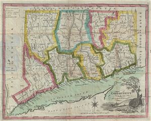
Connecticut from the best Authorities.
sold
- Digital Map Information
- Suitable for large format printing
- DPI: 300
- File Size: 7.48 MB
- File Type: ZIP / TIFF
- ICC color profile embedded
- Delivered instantly via download link
A rare map of ... (more details)
On the cusp of the Mexican-American War.
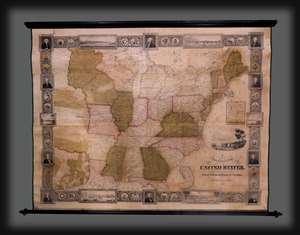
A New and Embellished Map of the United States.
sold
- Digital Map Information
- Suitable for large format printing
- DPI: 300
- File Size: 8.6 MB
- File Type: ZIP / TIFF
- ICC color profile embedded
- Delivered instantly via download link
An extremely rare 1845 wall map of the United States by Samuel Bishop Munson and Amos Doolittle. The map reveals the United States during the buildup to the Mexican-American War (1846 - 1848). It illustrates the Republic of Texas on the cusp of annexation. American Indian nations in the Transmississippi appear in excellent detail. The border work has a mid-western focus, with inset views of river towns on or connected to the Mississippi: St. Louis, Louisville, New Orleans, Cincinnati, Nashville, and Pittsburgh. (more details)