
Driggs, Howard Roscoe (sold)
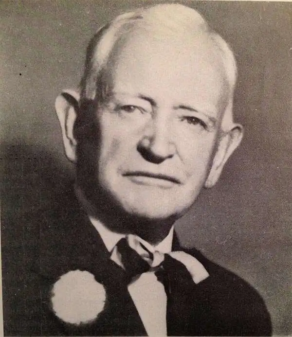
Howard Roscoe Driggs (August 8, 1873 - February 17, 1963) was an American professor of English, author, and editor. Born in Pleasant Grove, Utah, Driggs attended the Brigham Young Academy and then attended the University of Utah, from which he received a bachelor's degree in 1908 and a master's degree in 1918. He also studied at the University of Chicago and New York University, from which he achieved his Ph. D. In 1926. Driggs began his teaching career at a small school in Pleasant Grove just after graduating from the Brigham Young Academy and served as a member of the faculty at the newly-opened Southern Utah University beginning in 1897. He was a member of the faculty at the University of Utah from 1907 to 1923, and then was a professor of English at New York University from 1927 until his retirement in 1942. Driggs married Eva May Frampton (1874 - 1947) on September 8, 1897 in a Mormon temple in Salt Lake City, with whom he had two sons. Following Eva's death, Driggs married Margaret Brazier Quarrier (1909 - 2008) in Lawrence, Kansas, who had three children from a previous marriage.
Highlights the historic achievement of the Pony Express and illustrates some of the incredible landscapes along the route.
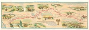
Pony Express Route April 3, 1860 - October 24, 1861.
sold
- Digital Map Information
- Suitable for large format printing
- File Size: 20.12 MB
- File Type: ZIP / TIFF
- ICC color profile embedded
- Delivered instantly via download link
This is a c. 1951 William Henry Jackson and Howard Roscoe Driggs pictorial map of the Pony Express. The map depicts the region from the Pacific Ocean to Kansas City, Missouri and from Platte Bridge, Wyoming to San Francisco Bay. The route itself is highlighted in red and most of the 190 stations along the way are identified. It covered approximately 1,900 miles and began in St. Joseph, Missouri. From there the route followed the Oregon and California Trails to Fort Bridger in Wyoming, then the Mormon Trail to Salt Lake City, Utah, and finally the Central Nevada Route to Carson City in the Nevada Territory before finally crossing the Sierra Nevada Mountains to Sacramento. Mail traveling both directions took ten days to reach its destination. The record, however, was set after the 1860 presidential election, when William Russell, a senior partner of Russell, Majors, and Waddell, a major investor in the Pony Express, decided to use the election as a way to promote the Pony Express. He hired additional riders and horses to be stationed along the route to ensure that fresh riders and horses were available, and the news of Lincoln's victory reached California papers only 7 days and 17 hours after a Pony Express rider left Fort Kearny in the Nebraska Territory. Vignettes of waypoints along the route are included both above and below it here, illustrating Courthouse Rock, Chimney Rock, Old Fort Kearny, a gigantic herd of buffalo, a relay station in the Utah desert, and the Great Salt Lake, among others. (more details)
Frontier Imagery and the Pony Express.
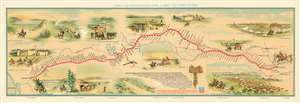
Pony Express Route April 3, 1860 - October 24, 1861.
sold
- Digital Map Information
- Suitable for large format printing
- File Size: 25.6 MB
- File Type: ZIP / TIFF
- ICC color profile embedded
- Delivered instantly via download link
This is a 1951 first edition of the William Henry Jackson and Howard Roscoe Driggs pictorial map of the Pony Express. The map depicts the region from the Pacific Ocean to Kansas City, Missouri, and from Platte Bridge, Wyoming to San Francisco Bay. The Pony Express Route itself is highlighted in red and most of the 190 stations along the way are identified. (more details)