
Frémont, John Charles (sold)
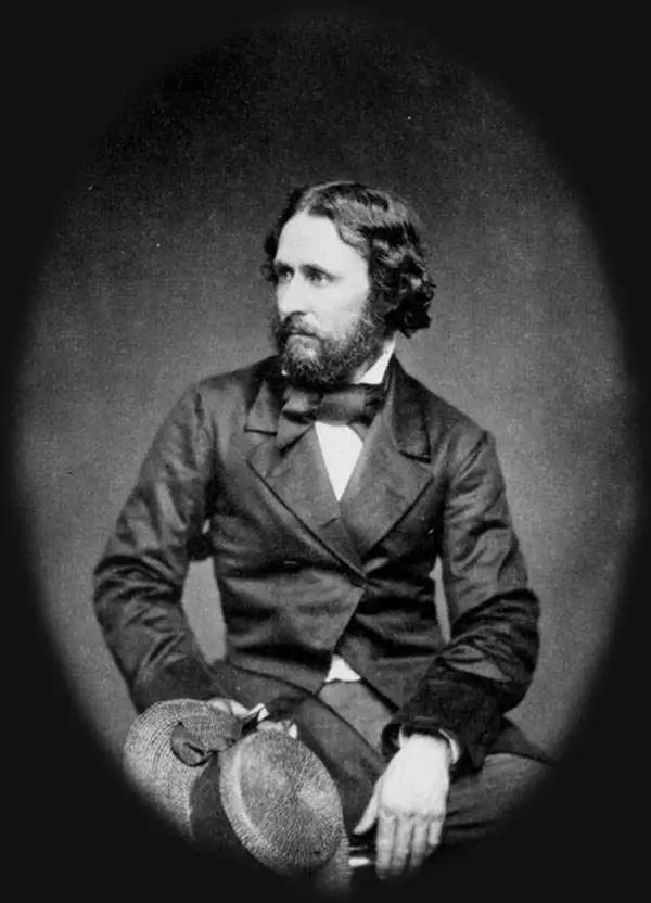
John Charles Frémont (January 21, 1813 - July 13, 1890) was an American military officer, politician, and explorer. Fremont was born in Savannah, Georgia. A man of adventure, Frémont led several expeditions into the American West in the 1840s, earning the nickname 'The Pathfinder.' His explorations, documented in reports and maps, significantly contributed to the understanding of the western United States and were instrumental in guiding settlers to the region. Frémont's military career was marked by his role in the Bear Flag Revolt (June 1846), leading to the annexation of California as part of the United States. In politics, he was a prominent figure in the early Republican Party and was its first presidential candidate in 1856, though he was unsuccessful in his bid. His later life was marred by controversy and financial troubles, but his early contributions to the exploration and expansion of the American West cemented his place in U.S. history. He died in 1890 in New York City.
'...radically and permanently altered western cartography.' - Wheat
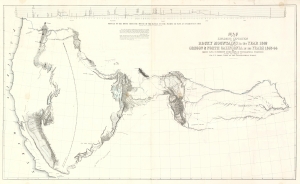
Map of an Exploring Expedition to the Rocky Mountains in the Year 1842 and to Oregon and North California in the Years 1843-44.
sold
- Digital Map Information
- Suitable for large format printing
- File Size: 56.14 MB
- File Type: ZIP / TIFF
- ICC color profile embedded
- Delivered instantly via download link
This is a seminal 1845 map of the American West by Carl Preuss and John C. Frémont charting the vast region between the Missouri River and the Pacific Ocean. Based on Frémont's 1843-44 Second Expedition, this map played a pivotal role in shaping westward expansion, guiding emigrants along the Oregon Trail and California Trail, and influencing cartography for decades. Wheat hailed this map as 'radically and permanently altering western cartography.' Featuring the first accurate mapping of the Great Salt Lake, detailed topographical features, and overland migration routes, this was the most comprehensive map of the American West. (more details)
Foundational Map of the American West.
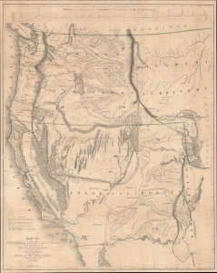
Map of Oregon and Upper California From the Surveys of John Charles Frémont.
sold
- Digital Map Information
- Suitable for large format printing
- File Size: 51.39 MB
- File Type: ZIP / TIFF
- ICC color profile embedded
- Delivered instantly via download link
A landmark 1848 map of the American West by John C. Frémont and Carl Preuss. In the words of Carl Wheat,
More than any other persons, John Charles Fremont and Charles Preuss dominate the cartography of the American West during the three years before the Gold Rush and brought a human tide surging into that land which had so long lain beyond the ken of most Americans. (Wheat, C. I., Mapping of the Transmississippi West, 1540 - 1861, 523).(more details)
Foundational Map of the American West.
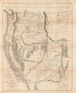
Map of Oregon and Upper California From the Surveys of John Charles Frémont.
sold
- Digital Map Information
- Suitable for large format printing
- DPI: 600
- File Size: 128 MB
- File Type: ZIP / TIFF
- ICC color profile embedded
- Delivered instantly via download link
A landmark 1848 map of the American West by John C. Frémont and Carl Preuss. In the words of Carl Wheat,
More than any other persons, John Charles Fremont and Charles Preuss dominate the cartography of the American West during the three years before the Gold Rush and brought a human tide surging into that land which had so long lain beyond the ken of most Americans. (Wheat, C. I., Mapping of the Transmississippi West, 1540 – 1861, 523).(more details)
Foundational Map of the American West.
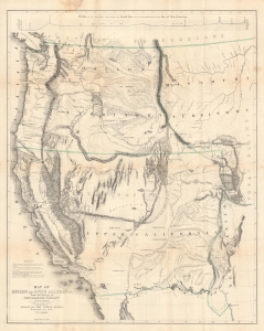
Map of Oregon and Upper California From the Surveys of John Charles Frémont.
sold
- Digital Map Information
- Suitable for large format printing
- File Size: 46.06 MB
- File Type: ZIP / TIFF
- ICC color profile embedded
- Delivered instantly via download link
A landmark 1848 map of the American West by John C. Frémont and Carl Preuss. In the words of Carl Wheat,
More than any other persons, John Charles Fremont and Charles Preuss dominate the cartography of the American West during the three years before the Gold Rush and brought a human tide surging into that land which had so long lain beyond the ken of most Americans. (Wheat, C. I., Mapping of the Transmississippi West, 1540 - 1861, 523).(more details)