
Main Administration of Geodesy and Cartography, U.S.S.R. (sold) (Главное управление геодезии и картографии, or GUGK)

Main Administration of Geodesy and Cartography, U.S.S.R. (Главное управление геодезии и картографии, or GUGK; 1939 – 1991) traced its roots to the early years of the Soviet Union, when the Higher Geodetic Administration (Высшее геодезическое управление, VGU) was created to centralize and direct topographic, geodetic, and cartographic work in the new state. However, as a branch office of the Supreme Council of National Economy with little authority and a small staff, it was not able to achieve these lofty goals. In 1925, VGU was moved to the State Planning Commission (Gosplan) and underwent several organizational changes, but problems of coordination persisted. In 1935, the office was placed under the People's Commissariat for Internal Affairs (NKVD) and in 1939 renamed the Main Administration of Geodesy and Cartography (GUGK) under the USSR Council of Ministers, the form it would take until the collapse of the Soviet Union in 1991. With its structure and authority settled, GUGK went on to produce many thousands of maps of the Soviet Union, other territories, and the world in several languages over the course of its existence. The successor to GUGK was the Federal Agency for Geodesy and Cartography (Roskartografiya), which existed from 1991 until 2009, when it was replaced with the Federal Service for State Registration, Cadastre and Cartography (Rosreestr).
AKA: Главное управление геодезии и картографии, or GUGK
Making Modern Moscow.
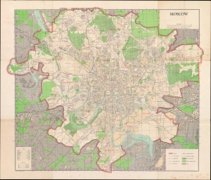
A large and impressive 1957 map of Moscow, produced by the Central Intelligence Agency using a 1940 Russian-language original produced by the Soviet Main Administration of Geodesy and Cartography (G.U.G.K) as a basis. (more details)
Driving Back the Fascist Invaders.
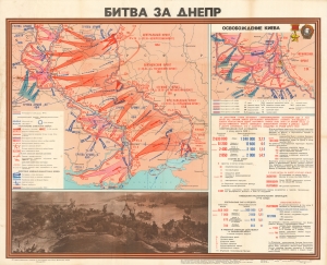
A rare and visually impressive piece of persuasive cartography and war commemoration, this 1973 map by the Soviet Union's Main Administration of Geodesy and Cartography covers the 1943 Battle of Dnieper (Dnipro), when the southern portion of the eponymous river, including Kiev (Kyiv), was recaptured by the Red Army. (more details)
Cold War cartography.
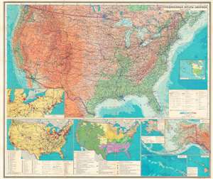
This is a 1979 Cold War Era Russian-language map of the United States of America published by the Main Administration of Geodesy and Cartography of the Soviet Union (known by the anglicized form of its Russian initials GUGK). Assisting GUGK with this map was the geographer Veniamin Maksovich Gokhman, one of the most knowledgeable experts on American economic geography in the U.S.S.R. The map and its insets highlight the industrial and economic geography of the U.S., valuable information for the Soviets about their Cold War adversaries. (more details)
Changing Times in the Ancient City.
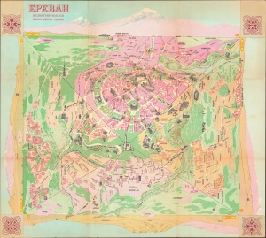
Ереван Иллюстрированная панорамная схема / Ереван туристская схема. [Yerevan Illustrated Panoramic Map / Yerevan Tourist Map].
sold
An impressive and scarce pictorial view of Yerevan, Armenia, published by the Main Administration of Geodesy and Cartography (GUGK) of the Soviet Union in 1985. Though designed for tourists, the map boasts interesting aesthetic qualities while also reflecting changing Soviet policies on national identity and religion in the 1980s. (more details)