
Ilyin, Alexey Afinogenovich (sold)
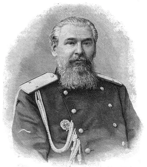
Alexey Afinogenovich Ilyin (Алексей Афиногенович Ильин; April 11, 1834 - December 4, 1889) was a Russian General Staff officer and map publisher. He was born in Shlisselburg, Leningrad Oblast, Russia. Ilyin founded the publishing firm 'Chromolithography of Poltoratsky, Ilyin, and Co.', with Vladimir Poltoratsky (1830 - 1886) in 1859 in St. Petersburg. Poltoratsky left St. Petersburg and the firm in 1864, and Ilyin changed the firm's name to 'A. Ilyin's Cartographic Establishment'. Ilyin became a lifelong map maker and printer and served as cartographer for the Military Topographic Depot of the General Staff. By the end of his life, Ilyin had risen to the rank of lieutenant-general. Following Ilyin's death, his son Alexey Alexeevich Ilyin (1857 - 1942) took over the business with the help of Ilyin other son, Afinogen Alexeevich Ilyin (1857 - 1904). The company reached its zenith in the 1880s, producing 6 million maps in 1882 alone, which accounted for nearly 90 percent of all civilian maps published in Russia that year. Aside from maps and atlases, A. Ilyin's Cartographic Establishment also published books about geography, Russian Geographical Society publications, and the proceedings of the Geological and Statistical committees and other government agencies. They also published textbooks on mathematics, chemistry, physics, astronomy, and foreign languages, among many other disciplines. A Ilyin's Cartographic Establishment was nationalized following the 1918 Russian Revolution and became the First State Cartographic Enterprise. The factory was transferred to the Ministry of Defense during World War II, known as the Great Patriotic War of 1941 - 1945 in Russia. It was renamed the 444th Military Cartographic Factory in the 1990s.
A rare and wonderfully colored city plan or map of St. Petersburg in Cyrillic.
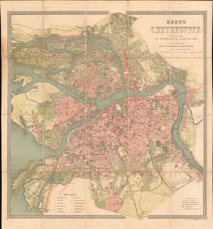
ПЛАНЬ С. ПЕТЕРБЧРГА. / Plan S. Petersburg.
sold
- Digital Map Information
- Suitable for large format printing
- Full resolution TIFF file
- ICC color profile embedded
- Delivered instantly via download link
This is a beautiful c. 1887 Alexey Ilyin city plan or map of St. Petersburg, Russia. Brilliant red and green hues shade urban and open spaces, wonderfully blending the two. With all text in Cyrillic, St. Petersburg's streets, canals, bridges, and other structures are labeled. The Peter and Paul Fortress, the Mikhailovskoy Palace, St. Petersburg State University, and the Winter Palace (today home to the Hermitage Museum) are all identifiable. Railways and railway stations, industrial sites, horse-drawn trams, and special lands leased by the imperial crown to private individuals add even more detail to this fantastic piece. (more details)
The Trans-Siberian Railway paving the way for resettlement in Siberia.
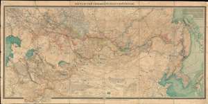
КАРТА ПУТЕЙ СООБЩЕНИЯ АЗІАТСКОЙ РОССIЙ. / Map of Routes of Communication of Asian Russia.
sold
- Digital Map Information
- Suitable for large format printing
- Full resolution TIFF file
- ICC color profile embedded
- Delivered instantly via download link
A rare large-scale 1911 Alexei Ilyin map of the Russian Empire in Asia and the Trans-Siberian Railway issued for the Imperial Russian Ministry of Railways. The map catalogs not only the near complexation of the Trans-Siberian Railway, a major development in Russian infrastructure, but also the extensive Siberian resettlement projects instigated under Tsar Nicholas II and Pyotr N. Stolypin. This expansive maps coves from the Caspian Sea to Japan and Korea, and from Yakutsk to northern China. In addition to railroad routes, the map shows communication networks, mines, ironworks, forests, and resettlement areas up to 1910, inclusive. (more details)