
Janvier, Jean Denis

Jean Denis Janvier (fl. 1746 - 1776), sometime also known as 'Robert', was a Paris based cartographer active in the mid to late 18th century. Janvier signed his maps Signor Janvier. By the late 18th century, Janvier was awarded the title of 'Geographe Avec Privilege du Roi' and this designation appears on many of his later maps. Janvier worked with many of the most prominent French, English and Italian map publishers of his day, including Longchamps, Faden, Lattre, Bonne, Santini, Zannoni, Delamarche, and Desnos.
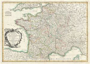
La Royaume de France Divise Par Gouvernements Militaires.
$250.00
Acquire
- Digital Map Information
- Suitable for large format printing
- DPI: 300
- File Size: 9.67 MB
- File Type: ZIP / TIFF
- ICC color profile embedded
- Delivered instantly via download link
A beautiful example of Jean Janvier's 1762 decorative map of France. Janvier's map covers the entirety of France from the english Channel to Corsica and from Germany to Spain. The map is divided into military departments with color coding according to region. ... (more details)
Massive apocryphal Sea of the West!
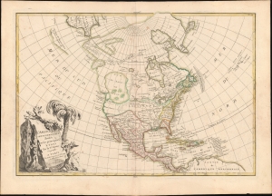
L'Amerique Septentrionale Divisee en ses Principaux Etats.
$900.00
Acquire
- Digital Map Information
- Suitable for large format printing
- DPI: 600
- File Size: 345.23 MB
- File Type: ZIP / TIFF
- ICC color profile embedded
- Delivered instantly via download link
An altogether fascinating first edition example of Jean Janvier's 1762 map of North America, including one of the most ambitious depictions of the Sea of the West ever published. It additionally features the fascinating apocryphal cartography Admiral de Fonte, and curious speculations on the Aleutians drawn from the Bering / Tschirikow voyage. (more details)
Boldest Depiction of the Sea of the West.
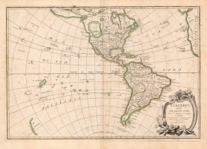
L'Amerique divisee Par Grands Etats.
$750.00
Acquire
- Digital Map Information
- Suitable for large format printing
- Full resolution TIFF file
- ICC color profile embedded
- Delivered instantly via download link
An altogether fascinating 1762 map of North America and South America by Jean Janvier. The map displays the entire continent from the Antarctic Circle to the Arctic Circle, extends westward to New Zealand, and eastward as far as Africa and Spain. This map, which is heavily influenced by the theoretical maps of Joseph Nicolas de l'Isle and Philippe Buache, went through several states of which this is the earliest and possibly the most interesting. (more details)
Depicts the fictional Laguna de Xarayes - the entrance to El Dorado!
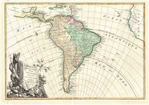
L'Amerique Meridionale divisée en ses principaux Etats.
$200.00
Acquire
- Digital Map Information
- Suitable for large format printing
- DPI: 300
- File Size: 5.75 MB
- File Type: ZIP / TIFF
- ICC color profile embedded
- Delivered instantly via download link
This is a 1762 Jean Janvier map of South America. The map depicts from the island of Hispaniola and the Yucatan to Tierra del Fuego and Cape Horn and from Mexico to Africa. Highly detailed, national boundaries are illustrated and myriad cities, regions, tribes, ... (more details)
The Sea of the West and other wonders...
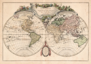
Mappe-Monde ou Description du Globe Terrestre, Assujettie aux Observations Astronomiques.
$950.00
Acquire
- Digital Map Information
- Suitable for large format printing
- Full resolution TIFF file
- ICC color profile embedded
- Delivered instantly via download link
This is Jean Janvier's 1762 map of the world with a rich display of speculative cartography. Coverage embraces the world on a double hemisphere projection framed by elaborate baroque cartouche work. (more details)
Identifies the Sea of Korea.
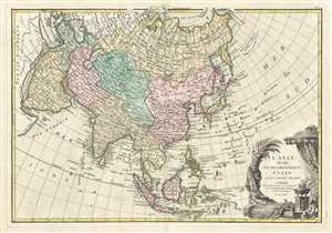
L'Asie, divisée en ses Principaux Etats.
$440.00
Acquire
- Digital Map Information
- Suitable for large format printing
- DPI: 300
- File Size: 7.44 MB
- File Type: ZIP / TIFF
- ICC color profile embedded
- Delivered instantly via download link
This is a 1771 Jean Janvier map of Asia. The map depicts from Africa and the Mediterranean to Bering Strait (Detroit du Norte ou d'Anian) and from Nova Zembla and the Arctic Ocean to Java and New Guinea. One of the most interesting characteristics of this map ... (more details)
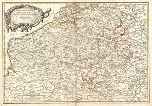
Partie Meridionale Des Pays Bas, Comprenant les Provinces de Brabant, Gueldre, Limbourg, Luxembourg, Haynaut, Namur, Flandre, Cambresis et Artois.
$200.00
Acquire
- Digital Map Information
- Suitable for large format printing
- DPI: 300
- File Size: 8.9 MB
- File Type: ZIP / TIFF
- ICC color profile embedded
- Delivered instantly via download link
A beautiful example of Jean Janvier's decorative map of the southern portions of the Pays Bas. Covers modern day Belgium and Luxembourg, with adjacent parts of France, Holland and Germany. Divided into counties and duchies with color coding according to ... (more details)
Greece, the Balkans, and Turkey.
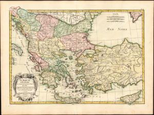
Turquie d'Europe et Partie de Celle d'Asie divisee par grandes Provinces et Gouvernements.
$200.00
Acquire
- Digital Map Information
- Suitable for large format printing
- File Size: 15.02 MB
- File Type: ZIP / TIFF
- ICC color profile embedded
- Delivered instantly via download link
This is a beautiful, bright example of Janvier's 1771 decorative map of Turkey in Europe. (more details)
Depicts the Isle of Man and has inset map of the Orkney and Shetland Islands!
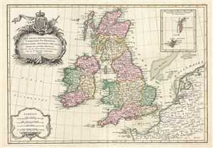
Les Isles Britanniques Comprenant les Royaumes D'Angleterre, D'Ecosse et D'Irlande divisés en Grandes Provinces.
$250.00
Acquire
- Digital Map Information
- Suitable for large format printing
- DPI: 300
- File Size: 6.6 MB
- File Type: ZIP / TIFF
- ICC color profile embedded
- Delivered instantly via download link
This is a 1771 Jean Janvier map of the British Isles. The map depicts England, Wales, Scotland, and Ireland, along with parts of France, Holland, and Belgium. The British Isles are divided according to province. An inset map on the upper right details ... (more details)
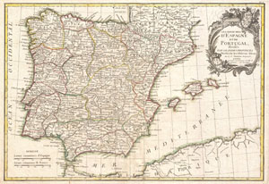
Les Royaumes d'Espagne et de Portugal, divisee par Grandes Provinces.
$250.00
Acquire
- Digital Map Information
- Suitable for large format printing
- DPI: 300
- File Size: 7.9 MB
- File Type: ZIP / TIFF
- ICC color profile embedded
- Delivered instantly via download link
A beautiful example of Jan Janvier's 1775 decorative map of Spain and Portugal. Covers the Iberian Peninsula as well as adjacent parts of France and Africa. Prominently displays the Balearic island sof Majorca, Minorca, and Ibiza. A large decorative ... (more details)
Massive apocryphal Sea of the West! First in the series to recognize the United States.
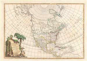
L'Amerique Septentrionale Divisee en ses Principaux Etats.
$900.00
Acquire
- Digital Map Information
- Suitable for large format printing
- DPI: 600
- File Size: 11.55 MB
- File Type: ZIP / TIFF
- ICC color profile embedded
- Delivered instantly via download link
An altogether fascinating example of Jean Janvier's 1782 map of North America. This is the first map in this series to name the United States. Nonetheless, the map is best known for its ambitious Sea of the West. Coverage extends from Panama to the Arctic Circle, and extends westward to include parts of Asia and eastward as far as Iceland. This map is heavily influenced by the theoretical mappings of Nicholas de l'Isle and Philippe Buache. Janvier divides the continent according to political powers: the United States (Etats Unis) occuping the former British colonies as far west as the Mississippi; Spain controlling Mexico, Florida, Central America, and Louisiana; and England controlling Canada. (more details)
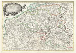
Partie Meridionale Des Pays Bas, Comprenant les Provinces de Brabant, Gueldre, Limbourg, Luxembourg, Haynaut, Namur, Flandre, Cambresis et Artois.
$200.00
Acquire
- Digital Map Information
- Suitable for large format printing
- Full resolution TIFF file
- ICC color profile embedded
- Delivered instantly via download link
A beautiful example of Jean Janvier's 1783 decorative map of the southern portions of the Pays Bas, or Belgium and Luxembourg. Janvier's map covers modern day Belgium and Luxembourg, with adjacent parts of France, Holland and Germany. It is divided ... (more details)
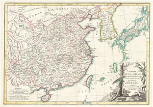
L'Empire de la Chine d'apres l'Atlas Chinois, Avec les Isles du Japon.
$550.00
Acquire
- Digital Map Information
- Suitable for large format printing
- DPI: 300
- File Size: 8.28 MB
- File Type: ZIP / TIFF
- ICC color profile embedded
- Delivered instantly via download link
A fine example of Rigobert Bonne's c. 1783 map of China, Korea (Coree), Japan, and Taiwan (Formose). The map covers from the Gobi Desert southwards as far as Hainan and eastwards, to include Formosa, Korea, and Japan. Apparently based on a Chinese ... (more details)
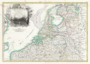
Partie Septentrionale des Pays Bas, Comprenant Les Etats Generaus des Provinces Unies.
$200.00
Acquire
- Digital Map Information
- Suitable for large format printing
- DPI: 300
- File Size: 10.08 MB
- File Type: ZIP / TIFF
- ICC color profile embedded
- Delivered instantly via download link
A beautiful example of Jan Janvier's 1783 decorative map of the Low Countries or Pays Bas. This region covers modern day Holland and Belgium from Friesland south to France, west to the english Channel, and east to Germany. excellent detail is ... (more details)
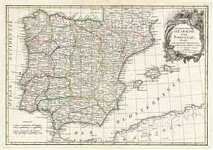
Les Royaumes d'Espagne et de Portugal, divisee par Grandes Provinces.
$250.00
Acquire
- Digital Map Information
- Suitable for large format printing
- DPI: 300
- File Size: 8.67 MB
- File Type: ZIP / TIFF
- ICC color profile embedded
- Delivered instantly via download link
A beautiful example of Jean Janvier's 1783 decorative map of Spain and Portugal. Janvier's map covers the Iberian Peninsula as well as adjacent parts of France and Africa. The map prominently displays the Balearic Islands of Majorca, Minorca, ... (more details)
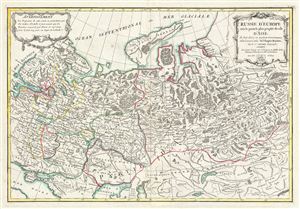
Russie D'Europe avec la partie la plus peuplee de celle D'Asie.
$300.00
Acquire
- Digital Map Information
- Suitable for large format printing
- DPI: 300
- File Size: 9.49 MB
- File Type: ZIP / TIFF
- ICC color profile embedded
- Delivered instantly via download link
A beautiful 1783 example of Jean Janvier's curious decorative map of Western Russia. The map covers from Poland and the Baltic Sea eastward as far as Ilimskoy, Siberia, and extends southwards to the Black Sea and north as far as Nouvelle ... (more details)
The Americas crafted into a unique puzzle!
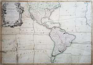
L'Amerique divisée en ses principaux états, assujetie aux observations astronomiques par le Sr. Janvier Geographe. A Paris.
$2,000.00
Acquire
This is Jean Janvier's 1760 rare, separately issued map of the western hemisphere, in its 1784 Paris edition. This map has, at an early date, been pasted down and hand-cut to form a simple jigsaw puzzle. Although the map does not name the new country, the colored national borders reflect the formation of the United States, which had been set according to the Treaty of Paris the year before this map was printed. The substance of the map is somewhat changed - dotted colonial borders have been burnished out and replaced with new ones, but the bulk of the engraving remains true to the 1760 edition. (more details)
Russian Interest in the Americas.
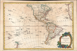
Америка раздѣленная на главныя области / [America Divided into Its Main Regions].
$2,800.00
Acquire
- Digital Map Information
- Suitable for large format printing
- File Size: 11.78 MB
- File Type: ZIP / TIFF
- ICC color profile embedded
- Delivered instantly via download link
This is a 1793 Russian-language map of the Americas produced for the 'New Atlas' (Novyy Atlas / Новый атлас), an important work that made the latest French cartography available to a Russian audience. (more details)