
Krašeninnikov, Stepan Petrovič (sold)
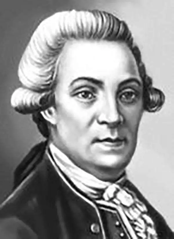
Stepan Petrovič Krašeninnikov (October 31 1711 – November 11, 1755) was a Russian explorer, geographer, naturalist and ethnographer. Krašeninnikov was born in St. Petersburg and studied at the l'Accademia Slavo-Greco-Latina and later at the St. Petersburg Academy of Sciences. He was chosen to accompany Vitus Bering in the 1731 – 1742 Great Northern Expedition (Second Kamchatka Expedition) to explore the Siberian Arctic. As part of this expedition Krašeninnikov was dispatched to Okhotsk and Kamchatka to perform preliminary studies, a difficult task which he completed over the course of four years from 1737 – 1741. Krašeninnikov had spent ten years on the Great Northern Expedition before returning to Saint Petersburg in 1742. There he obtained his doctorate in ichthyology and was appointed a member of the Russian Academy of Sciences. In 1752, he went for his last expedition to the area of Lake Ladoga and Novgorod for research on flora. He died shortly after in 1755. He final research was published posthumously by David de Gorter.
A fine early map of Kamchatka.
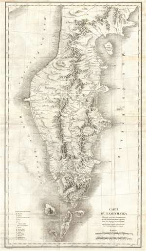
Carte du Kamtchatka Dressee sur Les Observations de Mr. Kacheninnikow raportees dans son Voyage au Kamtchatka.
sold
- Digital Map Information
- Suitable for large format printing
- DPI: 300
- File Size: 17.63 MB
- File Type: ZIP / TIFF
- ICC color profile embedded
- Delivered instantly via download link
A stunning 1768 map of Kamchatka by Jean-Baptiste Chappe d'Auteroche and Stepan Petrovič Krašeninnikov. This map covers from Korfa Bay south to the northernmost Kuril Islands, and from the Sea of Okhotsk to the Pacific Ocean. There is superb detail throughout, including beautiful profile renderings of inland mountain ranges, river systems, lakes, and roadways. When this map was issued Kamchatka was one of the most remote and sparsely inhabited places on Earth – it remains very much the same today. (more details)