
Kübel, Stephen Joseph (sold)
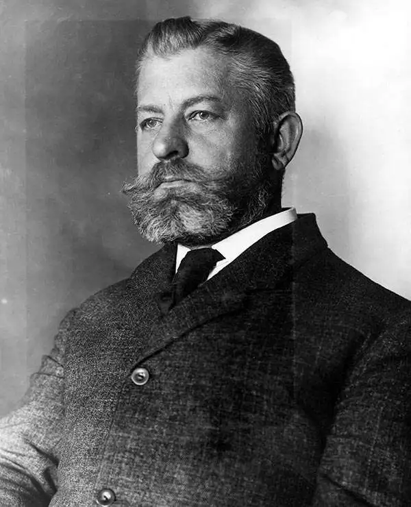
Stephen Joseph Kübel (April 2, 1858 - March 2, 1936) was an American musician, cartographer, and map engraver. Born in Washington, D.C., to Edward Kübel and his second wife, Josephine Hartbrecht Kübel, Kübel attended high school in Washington, D.C., before studying at the Scharwenke Conservatory of Music in Berlin. It was during his time in Berlin that Kübel, who was gifted in drawing, developed an interest in cartography and map engraving. He returned to Washington, D.C., in 1875, and found a job with the U.S. Geological and Geographical Survey of the Territories. He joined the staff of the U.S. Navy Hydrographic Office as a cartographer in 1876. From 1883 through 1885, Kübel served in the cartographic division of the Prussian general staff, where he studied alternative map reproduction processes. He rejoined the U.S. Navy Hydrographic Office after returning to Washington, D.C. Kübel opened his own engraving and printing firm in 1887, employing a staff and fulfilling contracts for the U.S. Geological Survey, the Hydrographic Office, and the U.S. Coast and Geodetic Survey. He was named Chief Engraver of the U.S. Geological Survey on February 14, 1890, and tasked with organizing a map-production plant. He was appointed chief of the U.S. Geological Survey's Division of Engraving and Printing in 1911 and became responsible for the production of all the Survey's copper-engraved maps. Kübel remained the Chief Engraver until his retirement in 1932. Kübel married Louise Griffith of Milford, Delaware, on July 5, 1884, while serving in Berlin.
Manuscript highlighting of hazards in the Rio de la Plata.
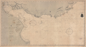
East Coast of South America. Rio de la Plata and Approaches.
sold
- Digital Map Information
- Suitable for large format printing
- File Size: 83.98 MB
- File Type: ZIP / TIFF
- ICC color profile embedded
- Delivered instantly via download link
A fascinating working nautical chart, this is an 1888 U.S. Navy Hydrographic Office map of the Rio de la Plata, South America. The map features manuscript annotations following several voyages detailing lights and hazards. It offers unique insight into the navigation of one of the world's most famous estuaries. (more details)
Charting the Rio de la Plata.
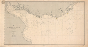
Rio de la Plata and Approaches.
sold
- Digital Map Information
- Suitable for large format printing
- Full resolution TIFF file
- ICC color profile embedded
- Delivered instantly via download link
This is the June 1888 edition of the United States Hydrographic Office's nautical chart of the Río de la Plata and its Atlantic approaches, bearing the label of New York nautical instrument makers and chart agents D. Eggert's Sons. Covering the passage to Buenos Aires past Montevideo, the chart emphasizes the soundings, banks, and navigational lights essential to negotiating this broad, shallow estuary. Its commercial label links the Navy's chart-production program to the private businesses that supplied navigators with charts, chronometers, and instruments. (more details)