
Lemprière, Clement (sold)
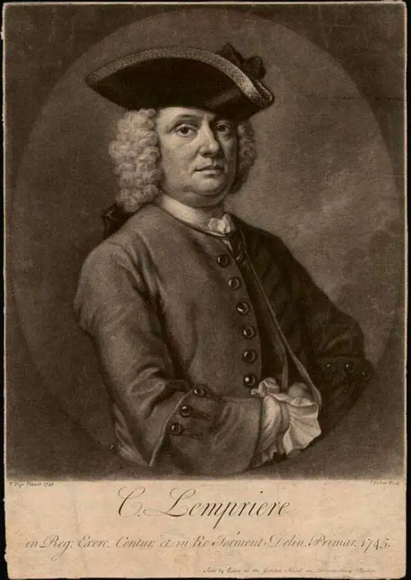
Clement Lemprière (January 28, 1682 - July 9, 1746) was a Jerseyman sea captain, military engineer, cartographer, hydrographer, artist, and engraver active in the first half of the 18th century. Of note, most records suggest that Lemprière was born in 1683, but there can be no doubt that his birth was in 1682, as we have found his original baptismal records. We can only assume that 1683 was a transcription error that was subsequently copied by others. Lemprière was born on the isle of Jersey in the town of St. Helier. Little is known of his early life or education, but befitting the life of a sea captain, he was well traveled. There are unverified reports that he was a resident cartographer in charge of the Dawning Room at the Tower of London in 1725 and possibly a drawing tutor to Queen Anne. He is noted for drafting Henry Popple's important map of North America. He may have traveled to Bermuda sometime in the 1730s, as his name is attached to a landmark mapping of that archipelago, the first new map of Bermuda since the Nelson survey of 1660. By the 1740s he was in the British Army, where he was attached to the Engineering Corps. In 1741, he was appointed Chief Draughtsman of the Ordnance Office. His most acclaimed work is a set of sixteen sketches for the eleven tapestries of the Spanish Armada that once hung in the British Parliament. When the Parliament house burnt in 1834, the original tapestries were lost, leaving Lemprière's draft sketches as their only surviving record.
The first commercially available map using Lemprière's survey.
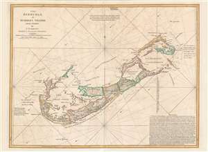
The Bermudas, or Summer's Islands from a Survey by C. Lempriere, regulated by Astronomical Observations.
sold
- Digital Map Information
- Suitable for large format printing
- Full resolution TIFF file
- ICC color profile embedded
- Delivered instantly via download link
This is the first commercial sea chart an map of Bermuda to incorporate data from Clement Lemprière's important survey of 1738. The map covers all of Bermuda and some of the adjacent seas. Crosses at sea illustrate the locations of shoals and reefs. The map features detailed topography, noting roads, nautical routes around the island, settlements, and more. Administrative districts, or 'Tribes' are identified throughout. In the lower right in a long block text of considerable value to the mariner. (more details)