
Merzbacher, Gottfried (sold)
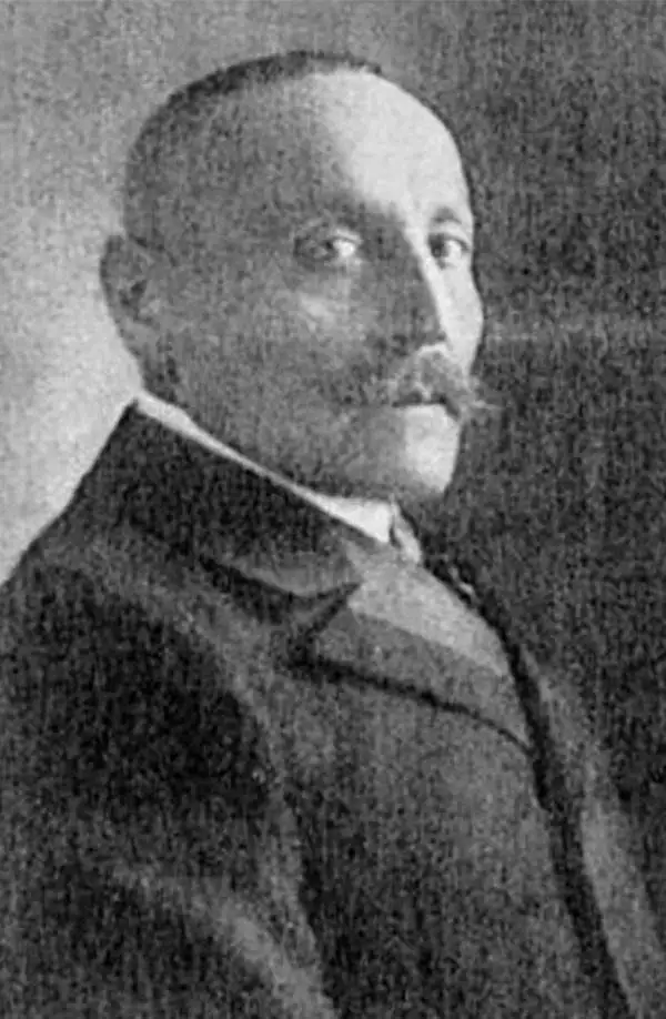
Gottfried Merzbacher (December 9, 1843 - April 14, 1926) was a German alpinist, explorer, and geographer. Born near Erlangen, Merzbacher was the son of Marcus Merzbacher, a Jewish fur trader. He left secondary school to learn his father's trade, and eventually trained in London, St. Petersburg, and Paris. He opened a fur shop in Munich in 1868, which, after twenty years and building a successful business, he sold to devote himself entirely to alpinism. After his retirement, Merzbacher went on extensive trips worldwide, investigating Persia, Ceylon (Sri Lanka), the Caucasus, and Kashmir. In 1902-03 he led an expedition into the Tian Shan Mountains where he discovered the ice reservoir on the Inyltschek glacier that has become known as the Merzbacher See.
An extremely rare map of the Tian Shan Mountains and the first to accurately locate Khan Tengri.
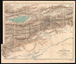
Map of the Central Tian Shan illustrating the journeys of the Merzbacher Expedition 1902 - 03.
sold
- Digital Map Information
- Suitable for large format printing
- File Size: 34.25 MB
- File Type: ZIP / TIFF
- ICC color profile embedded
- Delivered instantly via download link
This is an extremely rare 1905 Dr. Gottfried Merzbacher map of the central Tian Shan Mountains in modern-day western China and Kyrgyzstan. It is the first map to accurately locate Khan Tengri, a nearly 23,000-foot peak known but not mapped. The map depicts the region from Kashgar to the Shakh Yar River, and from the Kunges River to Khol Kol (Khol Lake). Red lines trace the Merzbacher expedition's peregrinations through the region over a period of two years, with their ultimate goal being determining an accurate location for Khan Tengri. Settlements, rivers, and lakes encountered along their routes are labeled, but detail becomes scarcer the farther away from territory physically explored by the expedition. During their two years in the region, Merzbacher and his associates collected a trove of data, most of which is not represented here due to the desire to quickly publish the map to accompany Merzbacher's book. Glaciers, some of which the team explored on foot, while others they simply observed, are illustrated throughout. Khan Tengri, the expedition's stated goal, is illustrated and labeled above and to the right of center and is surrounded by glaciers. Unfortunately, the label on this example is bisected by the linen fold line. Issyk-Kul (Issik Kul), an endorheic lake in eastern Kyrgyzstan that is the second largest saline lake in the world, is also illustrated and labeled. (more details)