
Morgan, Thomas Jefferson 'T.J.' (sold)
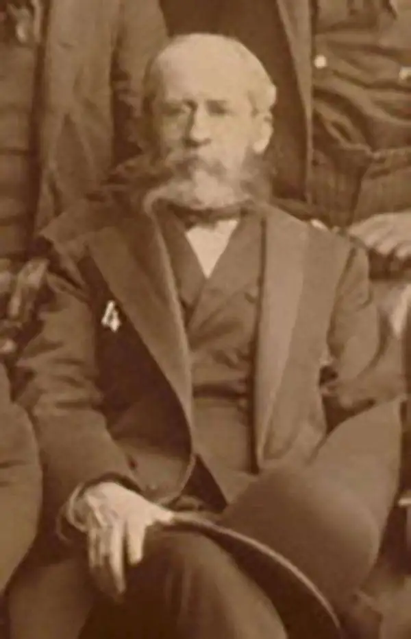
Thomas Jefferson 'T.J.' Morgan (1839 - 1902) was an American Union Army officer, government official, Baptist minister, and public educator. Morgan served during the American Civil War as a lieutenant in the 17th Indiana Infantry before being commissioned as a lieutenant-colonel in the 14th U.S. Colored Infantry. He made full colonel in 1864 and wad commander of a Colored infantry brigade. He served as Commissioner of Indian Affairs under President Benjamin Harrison from 1889 - 1893.
Illustrates the ephemeral period when there was an Oklahoma Territory and an Indian Territory vying for statehood.
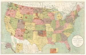
Map Showing Indian Reservations Within the Limits of the United States. Compiled Under the Direction of the Hon. T.J. Morgan.
sold
- Digital Map Information
- Suitable for large format printing
- File Size: 37.41 MB
- File Type: ZIP / TIFF
- ICC color profile embedded
- Delivered instantly via download link
This is an 1892 Thomas Jefferson Morgan map of the United States showing Indian reservations. The map depicts the country from the Pacific Ocean to the Atlantic Ocean and from Canada to Mexico and the Gulf of Mexico. Indian reservations throughout the country are highlighted in orange and labeled in block lettering. Indian boarding schools, day schools, and contract schools throughout the U.S. are identified by different symbols which correspond to a key situated along the left border. The states are all illustrated, labeled, and shaded different colors to allow for easy differentiation. Cities and towns are labeled as well, as are railroads throughout the country. Yellowstone National Park, established in 1872, is also identified. Three insets are situated along the bottom border that illustrate Alaska, the Mission Indian Reservation in California, and the northeastern corner of the Indian Territory. (more details)