
Reichard, Christian Gottleib (sold)

Christian Gottleib Reichard (June 6, 1758 - September 11, 1837) was a Weimar based German cartographer active in the late 18th and early 19th centuries. He was educated at the Lyceum of Schleiz and studied law at the University of Leipzig. Reichard developed an early interest in geography, drawing, and music, which he continued to develop throughout his life. His first cartographic project was a globe made for his children, which attracted the interest Baron Franz Xaver von Zach in Gotha. With Zach's support Reichard delved more fully into cartography, publishing several important works early in the 19th century focusing on the discoveries of Mungo Parke, Rennel, Lander, and Alexander von Humboldt. He also supplied several charts to the Homann Heirs firm. Along with Adolf Stieler and the Perthes publishing companies, he collaborated on the first Stieler's Handlatlas. Published between 1817 and 1823, the first Stieler's Handlatlas proved to be a long lived and influential work that continued to be revised and updated well into the 20th century. In addition, he also published several general and historical atlases on his own account between 1803 and 1824.
Ephemeral state of Franklin!
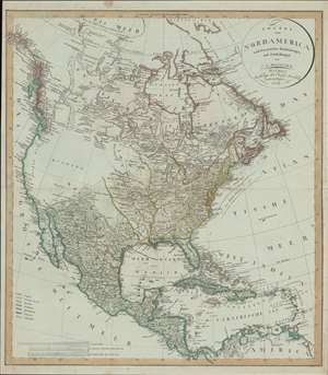
Charte von Nord America nach en neuesten Bestimmungen und Entdeckungen.
sold
- Digital Map Information
- Suitable for large format printing
- DPI: 600
- File Size: 31.76 MB
- File Type: ZIP / TIFF
- ICC color profile embedded
- Delivered instantly via download link
A fascinating 1804 map of North America by C. G. Reichard including the ephemeral 'lost state' of Franklin. The map embraces all of North America from Baffin Bay and Cook's Inlet (Alaska) to Panama and the Spanish Main, including all of the modern day United States, Canada, Mexico, West Indies, and Central America. (more details)
Ephemeral state of Franklin!
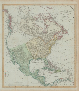
Charte von Nord America nach en neuesten Bestimmungen und Entdeckungen.
sold
- Digital Map Information
- Suitable for large format printing
- DPI: 600
- File Size: 78.19 MB
- File Type: ZIP / TIFF
- ICC color profile embedded
- Delivered instantly via download link
A fascinating 1804 map of North America by C. G. Reichard that includes the ephemeral 'lost state' of Franklin. The map embraces all of North America from Baffin Bay and Cook's Inlet (Alaska) to Panama and the Spanish Main, including all of the modern-day United States, Canada, Mexico, West Indies, and Central America. (more details)
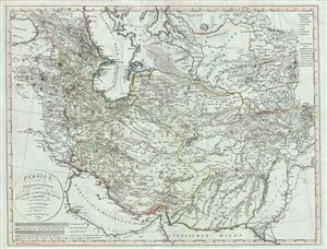
Persien nach seinem neuesten Zustande in das Ostliche und Westliche Reich eingeteilt.
sold
- Digital Map Information
- Suitable for large format printing
- DPI: 300
- File Size: 27.03 MB
- File Type: ZIP / TIFF
- ICC color profile embedded
- Delivered instantly via download link
A fascinating 1804 map of Persia by Christian Gottlieb Reichard. It covers from the Black Sea south as far as the Persian Gulf and east as far as Punjab in India, including the modern day nations of Iran, Iraq, Georgia, Armenia, Azerbaijan, Turkmenistan, ... (more details)
Two hundred years of European expeditions in Turkey.
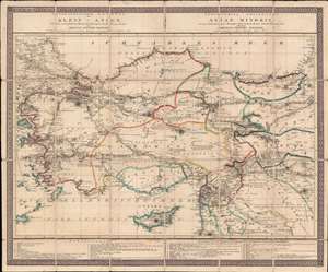
Geographischer Entwurf von Klein - Asien, und der vorzüglichsten Reisen der Europaer durch dieses Land.
sold
- Digital Map Information
- Suitable for large format printing
- DPI: 600
- File Size: 40.11 MB
- File Type: ZIP / TIFF
- ICC color profile embedded
- Delivered instantly via download link
This is an 1820 Christian Gottlieb Reichard case map of Turkey, created as a visual record of western explorations in the Ottoman Empire. Twenty-eight lines made up of patterns of dots, dashes, and other symbols, trace these expeditions. A table situated in the bottom right lists expeditions chronologically from 1570, providing the last name of the explorer and a description of their travels. (more details)