
Renard, Louis (sold)

Louis Renard (1678 - 1746) was a Huguenot engraver and bookseller. Renard was born in France in 1678 and moved to the Netherlands in 1703. He acquired many of Frederick de Wit's map plates, which he consolidated with minor updates and revisions into the 1715, Atlas de la Navigation et du Commerce. From about 1706 Renard represented the interest of Guillaume De L'Isle in Holland, a relationship that ended on a sour note in 1718. Renard later sold the plates for the Atlas de la Navigation et du Commerce to R. and J. Ottens, who republished it under their own imprint in 1745.
Everything about America of interest to the Dutchman.
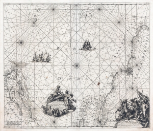
Terra Nova ac Maris Tractus circa Novam Franciam, Angliam, Belgium, Venezuelam Novam Andalusium, Guianam, Brasiliam. / Terra Neuf en de Custen van Nieu Vranckryck, Nieu Engeland, Nieu Nederland, Nieu Andalusia, Guiana en Venezuela.
sold
- Digital Map Information
- Suitable for large format printing
- DPI: 300
- File Size: 14.9 MB
- File Type: ZIP / TIFF
- ICC color profile embedded
- Delivered instantly via download link
A stunning example of the 1715 L. Renard edition of Frederick de Wit's map of the western Atlantic. The map illustrates the full scope of Dutch interest in the Americans, covering from Newfoundland to Brazil, including New York, New England, the eastern West Indies, and northeastern South America. By the time Renard reissued the map in 1715, the Dutch had long since surrendered control of New York to the British. Nonetheless, the longevity and popularity of this map among Dutch publisher is ample evidence of lingering ambitions to regain their American colonies. (more details)