
Rocque, John (sold)

John Rocque (1704 - 1762) was an important cartographer, engraver, and surveyor active in England and Ireland in the mid to late 18th century. Rocque is of Huguenot extraction and likely changed his name from 'Jean' upon moving to England from the south of France in 1709. John Rocque seems to have started off life as a landscape designer, working and living with his brother Bartholomew. When Rocque discovered he had a talent for cartography, he sold his skills in conjunction with his brother's landscape design work to various public parks and noble estates. Rocque is well known for his detailed plans of Plainshipp Park, Wilton House, Wrest Park, and Claremont, among others. As his cartographic skills grew he turned his attention to larger scale productions, developing a number of impressive city plans, including the exceptional large format plan of London, for which he is best remembered. Rocque enjoyed considerable business success during his lifetime. Where most English mapmakers were simply reprinting updated versions of older work, Rocque was embarking on time consuming original survey work. He also developed a number of unique approaches to cartography with regard to new techniques for rendering land use and topography - no doubt a layover of his landscape mapping work. Little is known of his personal life, though he did marry twice. His widow, Mary Ann Rocque, carried on his business following his death in 1762.
One of the greatest British lordly estates.
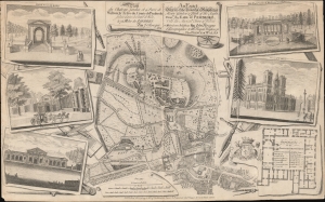
Plan du chateau, Jardin et Parc de Wilton la Terre du Comte de Pembroke, située dans la comté de Wilts. à 75 miles de Londres par J. Rocque… / An Exact Survey of the Beautiful and Magnificent House, Garden and Park of the Right Honble. the Earl of Pembroke with the ancient town of Wilton 3 miles from Salisbury…
sold
- Digital Map Information
- Suitable for large format printing
- DPI: 600
- File Size: 376.18 MB
- File Type: ZIP / TIFF
- ICC color profile embedded
- Delivered instantly via download link
A striking c. 1770 John Rocque / Robert Sayer map and illustration of Wilton House, seat of the Earls of Pembroke. The map, originally issued in 1754, follows a major reworking of the gardens under Capability Brown, one of the greatest landscape designers in British history. The map takes in Wilton House, its gardens, and the nearby town of Wilton. Surrounding vignettes detail architectural features of the Wilton Gardens as well as a floor plan of the Palladian manor house. (more details)
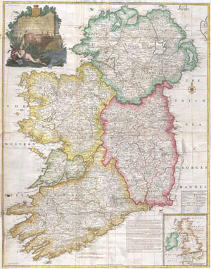
A map of the Kingdom of Ireland, divided into provinces, counties and baronies. Southern section. Shewing the archbishopricks, bishopricks, cities, boroughs, market towns, villages, barracks, mountains, lakes, bays, rivers, bridges, ferries, passes, also the great, the branch & the by post roads together with the inland navigation, by J. Rocque, Chorographer to His Majesty.
sold
- Digital Map Information
- Suitable for large format printing
- Full resolution TIFF file
- ICC color profile embedded
- Delivered instantly via download link
An absolutely stunning and monumental 1794 wall map of Ireland by Jean Rocque. Covers Ireland in full with extraordinary detail throughout. Notes every town, hamlet, bishopric, country, forest, castle swam and road. Even offers some offshore detail with regard ... (more details)
Stunning wall map of Ireland!
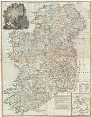
A Map of the Kingdom of Ireland, divided into provinces, counties and baronies. Southern section. Shewing the archbishopricks, bishopricks, cities, boroughs, market towns, villages, barracks, mountains, lakes, bays, rivers, bridges, ferries, passes, also the great, the branch & the by post roads together with the inland navigation, by J. Rocque, Chorographer to His Majesty.
sold
- Digital Map Information
- Suitable for large format printing
- DPI: 300
- File Size: 52.1 MB
- File Type: ZIP / TIFF
- ICC color profile embedded
- Delivered instantly via download link
An absolutely stunning and monumental 1794 wall map of Ireland by Jean Rocque. Covers Ireland in full with extraordinary detail throughout. Notes every town, hamlet, bishopric, country, forest, castle swam and road. Even offers some offshore detail with regard to ... (more details)