
Ross, Daniel (sold)
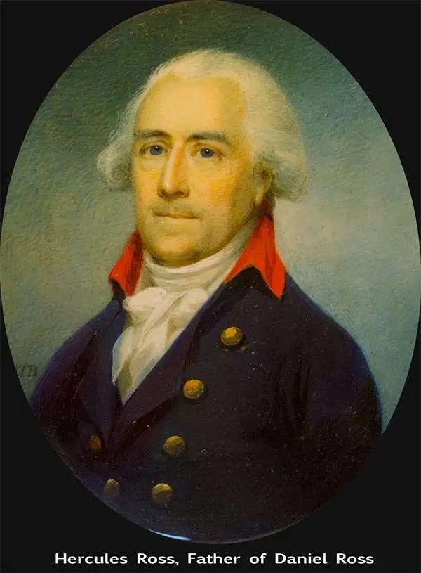
Daniel Ross (November 11, 1780 - October 29, 1849) was a British hydrographer and naval officer active in India and the Far East during the first half of the 19th century. Ross is admiringly referred to as 'The Father of the Indian Surveys.' He was born in Jamaica, the illegitimate son of Hercules Ross (1745 - December 25, 1816), a powerful Jamaican-English merchant, privateer ship owner, and naval price agent. His mother was Elizabeth Foord, a quadroon slave who Hercules later freed. Ross joined the Bombay Marine in 1795. From 1806 to 1820 he was assigned to survey the coast of China from Vietnam to Macao. In 1822 he was elected a fellow of the Royal Society. By 1823 he had been appointed Marine Surveyor General of Calcutta, a position he held until he resigned in 1833. Afterwards he retired to Bombay (Mumbai) where in 1838 he was appointed President of the Bombay Geographical Society. He retained the position until retiring in ill-heath in 1849. He is the half-brother of sportsman and photography pioneer Horatio Ross.
The finest British chart of Hong Kong available during the first Opium War.
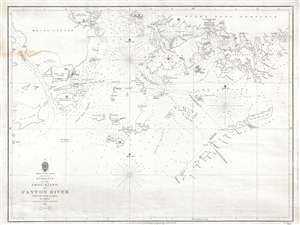
Entrance to the Chou-Kiang or Canton River from the Ouer Islands to Linten.
sold
- Digital Map Information
- Suitable for large format printing
- DPI: 300
- File Size: 6.55 MB
- File Type: ZIP / TIFF
- ICC color profile embedded
- Delivered instantly via download link
A rare and remarkable nautical chart of the utmost significance. This 1840 maritime map of Hong Kong and vicinity is attributed to Captain Daniel Ross, Bombay Marine. During the first Opium War (1839 – 1842), this was the finest and most detailed chart of Hong ... (more details)
Rare early Horsburgh chart of the waters around Hong Kong issued shortly after the Crown Colony's founding.
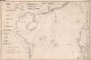
China Sea. Sheet II.
sold
- Digital Map Information
- Suitable for large format printing
- DPI: 300
- File Size: 18.5 MB
- File Type: ZIP / TIFF
- ICC color profile embedded
- Delivered instantly via download link
An attractive example of James Horsburgh's rare 1848 China Trade nautical chart or Maritime map of the South China Sea, including Hong Kong, Macao, Canton (Guangzhou), the Philippines, Hainan, the Paracel Islands, southern Taiwan (Formosa), and the northeastern ... (more details)
Hardly Easy Sailing.
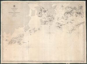
China Eastern Coast Sheet I, From Mongchow to Hong Kong. / [Admiralty Chart No.] 2212.
sold
- Digital Map Information
- Suitable for large format printing
- DPI: 600
- File Size: 620.66 MB
- File Type: ZIP / TIFF
- ICC color profile embedded
- Delivered instantly via download link
An important blueback nautical map of the southern coast of China in the vicinity of Hong Kong and Macao, published in 1853 by the British Admiralty. It reflects increasing familiarity with these waters in the era immediately following the First Opium War (1839 - 1842). (more details)
Hardly Easy Sailing.
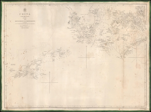
China Eastern Coast Sheet I, From Mongchow to Hong Kong. / [Admiralty Chart No.] 2212.
sold
- Digital Map Information
- Suitable for large format printing
- DPI: 600
- File Size: 575.08 MB
- File Type: ZIP / TIFF
- ICC color profile embedded
- Delivered instantly via download link
An important blueback nautical map or chart of the southern coast of China in the vicinity of Hong Kong and Macao, published in 1853 by the British Admiralty. It reflects increasing familiarity with these waters in the era immediately following the First Opium War (1839 - 1842). (more details)