
Spangenberg, Charles L. (sold)

Charles Spangenberg(fl. c. 1862 - 1872) was a topographical draftsman active in the mid to late 19th century. Spangenberg served with the Union Army during the American Civil War (1861 - 1865). His name is attached to at least one important Civil War manuscript maps, of the Battle of Vicksburg, as well as published maps of multiple other battles. After the war, he was active in New York City, where he drew several maps for the New York Parks Commission.
Rare Civil War map of the Battle of Vicksburgh from Spangenberg manuscript.
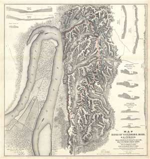
Map of the Siege of Vicksburg, Miss. By the U.S. Forces Under the Command of Genl. U.S. Grant, U.S. Vls. Maj. F.E. Prime, Chief Engr. Surveyed and constructed under the direction of Capt. C.B. Comstock, U.S. Engr.s and Lt. Col. Js. H. Wilson . . . Drawn by Chs. Spangenberg.
sold
- Digital Map Information
- Suitable for large format printing
- File Size: 36.14 MB
- File Type: ZIP / TIFF
- ICC color profile embedded
- Delivered instantly via download link
This is a rare c. 1863 separate issue Charles Spangenberg Civil War map of the Siege of Vicksburg (May 18, 1863 - July 4, 1863). This map, considered one of the most attractive Civil War maps, is based upon a manuscript map drawn by military engineer Charles ... (more details)
Rare Civil War map of the Battle of Vicksburgh from Spangenberg manuscript.
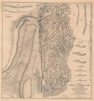
Map of the Siege of Vicksburg, Miss. By the U.S. Forces Under the Command of Genl. U.S. Grant, U.S. Vls. Maj. F.E. Prime, Chief Engr. Surveyed and constructed under the direction of Capt. C.B. Comstock, U.S. Engr.s and Lt. Col. Js. H. Wilson . . . Drawn by Chs. Spangenberg.
sold
- Digital Map Information
- Suitable for large format printing
- File Size: 67.43 MB
- File Type: ZIP / TIFF
- ICC color profile embedded
- Delivered instantly via download link
This is a rare c. 1863 separate issue Charles Spangenberg Civil War map of the Siege of Vicksburg (May 18, 1863 - July 4, 1863). This map, considered one of the most attractive Civil War maps, is based upon a manuscript map drawn by military engineer Charles Spangenberg shortly after the siege. It covers Vicksburg and the surrounding hills as well as the full bend of the Mississippi River. To the right of the map there are various cross sections illustrating the Confederate and Union fortifications. (more details)
First map of Washington Square Park.
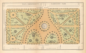
Plan of Improvements of Washington Park.
sold
- Digital Map Information
- Suitable for large format printing
- File Size: 4.13 MB
- File Type: ZIP / TIFF
- ICC color profile embedded
- Delivered instantly via download link
This is the first published map of Washington Square Park, Greenwich Village, New York. The map was issued during the 1871 conversion of the square from a military parade ground to a public park. (more details)
World's greatest urban park.
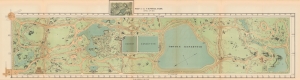
Map of the Central Park April 20th 1871.
sold
- Digital Map Information
- Suitable for large format printing
- File Size: 15.57 MB
- File Type: ZIP / TIFF
- ICC color profile embedded
- Delivered instantly via download link
This 1871 map of Central Park, a rare gem printed by Knapp, stands out for its unique depiction of the park in a completed state. It showcases the intricate pathways, serene lakes, majestic buildings, individual trees, rugged rocks, and varying elevations, offering a comprehensive overview of the park's design. (more details)