
Stone and Clark (sold)

Stone and Clark (fl. c. 1828 - 1855) was a publishing, engraving, and lithography firm based in Ithaca, New York. Very little of substance is known about the firm. The well known lithographer and painter, Henry Walton (1820 - 1873), worked for the firm from around 1836 until he moved to California in 1851. An advertisement in the September 11, 1839, edition of the Ithaca Chronicle placed by Stone and Clark reads that they, 'execute job work of any description, steel, copper-plate and wood engraving, letter press printing and book binding.' Around 1839 they acquired the printing rights to David Hugh Burr's (1803 - 1875) Atlas of the State of New York, which they published in at least two editions (1839 and 1840).
One of the earliest obtainable maps to focus on all of Manhattan Island.
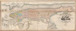
Map of the City and County of New York, with the adjacent country.
sold
- Digital Map Information
- Suitable for large format printing
- Full resolution TIFF file
- ICC color profile embedded
- Delivered instantly via download link
This is an example of David Burr's rare 1839 map of Manhattan, New York City. Burr's map is one of the earliest maps focused specifically on Manhattan to illustrate the entire island. Oriented to the northeast, the map roughly follows the layout and design of the 1811 Commissioner's Plan, wherein the geography of the island is sublimated by the city's iconic street grid. Burr's more commercial map also extends the coverage further east and west, to accommodate, Brooklyn, Bushwick, Williamsburg, Hoboken, and Jersey City. (more details)
One of the earliest obtainable maps of the Cooperstown area.
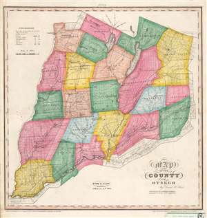
Map of the County of Otsego.
sold
- Digital Map Information
- Suitable for large format printing
- Full resolution TIFF file
- ICC color profile embedded
- Delivered instantly via download link
This is an 1839 David Burr map of Otsego County, New York - including Cooperstown and vicinity. Individual townships are identified and shaded to allow for easy differentiation. Numerous private land claims are illustrated, some of which are identified by name. Churches (including the Hartwick Seminary), flouring mills, manufactories, forges, and sawmills are all marked. The county's lakes and rivers are illustrated and labeled, including Otsego Lake and Schuylers Lake. In one of Stone and Clark's updates to Burr's 1829 edition, the county's post offices, marked 'P.O.', are labeled. (more details)
Major Changes in the Hudson Valley.
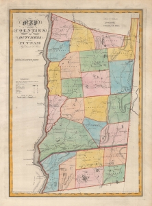
Map of the Counties of Dutchess and Putnam. / No. 7.
sold
- Digital Map Information
- Suitable for large format printing
- Full resolution TIFF file
- ICC color profile embedded
- Delivered instantly via download link
A very nice example of David Burr's rare and attractive map of Dutchess and Putnam Counties, New York, originally published in 1829, here appearing in the 1840 state of Stone and Clark's updated issue of Burr's Atlas of the State of New York. (more details)
An update to a map from a landmark atlas of New York.
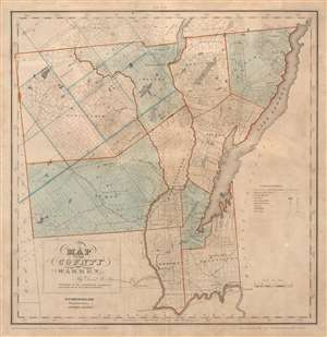
Map of the County of Warren.
sold
- Digital Map Information
- Suitable for large format printing
- Full resolution TIFF file
- ICC color profile embedded
- Delivered instantly via download link
This is an 1840 David Burr map of Warren County, New York. Depicting the region from Hamilton County to Lake George and Washington County and from Essex County to Saratoga County, individual townships are identified and shaded different colors to allow for easy differentiation. Numerous private land claims are illustrated, some of which are identified by name. Some locations are labeled in manuscript in ink. The county's lakes and rivers are illustrated and labeled, including Schroon Lake, Brant Lake, and, of course, Lake George. In one of Stone and Clark's updates to Burr's 1829 edition, the county's post offices marked 'P.O.' are labeled. (more details)