
Tobler, Titus (sold)
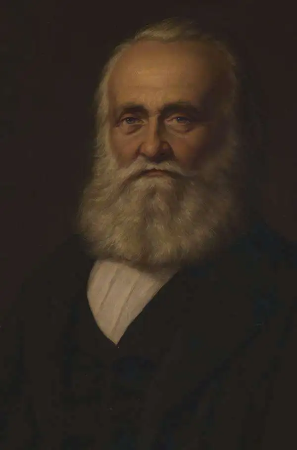
Titus Tobler (July 25, 1806 - January 21, 1877) was a Swiss Palestine and dialect researcher, writer, journalist, and doctor. Born in Stein, Tobler attended the cantonal school in Trogen before studying medicine in Zurich, Vienna, Wurzburg, and Paris. He started practicing medicine in Teufen, Switzerland in 1827. Tobler is mainly remembered for his work concerning Palestine. He first visited palestine in 1835 and published his travelogues from that rip in two volumes in 1839. He subsequently visited Palestine in 1845, 1857, and 1865. At the time, he was known as one of the preeminent connoisseurs of Palestinian literature. In 1876, Tobler published Bibliographica geographica Palaestinae, a compilation of all known and unprinted sources on Palestine and probably his greatest achievement. Aside from his work concerning Palestine, Tobler published an educational book in 1830, and was a member of the National Council from 1854 until 1857. He moved to Munich in 1871 where he devoted himself to research until his death in 1877.
'The crowning achievement of fifty years of exploration and research in the geography of Palestine' -Yehoshua Ben-Arieh
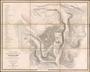
Plan of the Town and Environs of Jerusalem Constructed From the English Ordnance Survey and Measurements of Dr. T. Tobler.
sold
- Digital Map Information
- Suitable for large format printing
- File Size: 54.5 MB
- File Type: ZIP / TIFF
- ICC color profile embedded
- Delivered instantly via download link
Considered to be the most accurate map of Jerusalem published at the time, this is Charles William Meredith van de Velde's 1858 city plan or map of Jerusalem and its environs. Presenting the region in exceptional detail, the map covers from the Tombs of the Martyrs to Mount of Olives and from the Tomb of Simon the Just to the Hill of Evil Counsel. Important sites are labeled throughout, with the Dome of the Rock, the Al-Aqsa Mosque, the Church of the Holy Sepulcher, and the Church of the Tomb of the Virgin among them, and a further fifty-one sites are numerically identified and correspond with an index situated along the left border. Relief is indicated by hachure. (more details)