
Bureau Topographique des Troupes de l'Indo-Chine

Bureau Topographique des Troupes de l'Indo-chine (fl. c. 1886 - 1900) was founded in 1886 in Hanoi. Its first major project was a 1:2000000 map of the entirety of Indochina, for which they drew on source maps created by the Service Hydrographique de la Marine and those created by an expeditionary corps sent throughout the region. Before establishing its own printing facilities in Indochina in 1890, the Bureau Topographique transferred their work back to Paris to be printed by the Service Géographique de l'Armée. In 1890 the Bureau Topographique also began to increase its cartographic output. The Bureau Topographique sent army officers on triangulation and topographic missions in unexplored areas of Indochina throughout the 1890s, some of which proved fatal for the participants. It is unclear when the Bureau Topographique shut down, but no examples of their work postdate 1900.
Saigon - Mỹ Tho Railroad and Vĩnh Tế Canal.
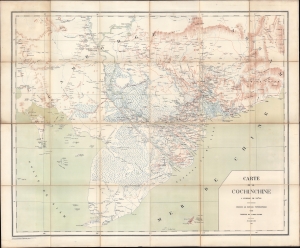
Carte de la Cochinchine.
$950.00
Acquire
- Digital Map Information
- Suitable for large format printing
- File Size: 48.13 MB
- File Type: ZIP / TIFF
- ICC color profile embedded
- Delivered instantly via download link
This is an 1889 Bureau topographique des Troupes de l'Indochine map of Cochinchina, including parts of modern-day southern Vietnam and Cambodia. The map is significant for its coverage of the Saigon - Mỹ Tho Railroad and Vĩnh Tế Canal. (more details)
Fighting insurgency.
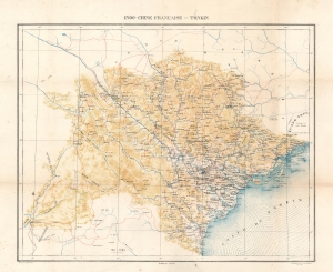
Indo-Chine Française - Tonkin.
$750.00
Acquire
- Digital Map Information
- Suitable for large format printing
- File Size: 27.39 MB
- File Type: ZIP / TIFF
- ICC color profile embedded
- Delivered instantly via download link
This is an 1889 French Bureau Topographique des Troupes de l'Indo-Chine map of Tonkin, Vietnam, or North Vietnam. (more details)
French pacification of Tonkin.
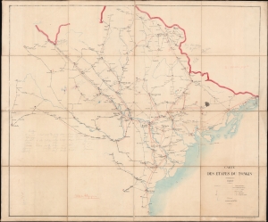
Carte des étapes du Tonkin.
$1,500.00
Acquire
- Digital Map Information
- Suitable for large format printing
- Full resolution TIFF file
- ICC color profile embedded
- Delivered instantly via download link
This is a rare proof state 1894 folding map of Tonkin by the Bureau Topographique des Troupes de l'Indo-chine. It was produced as the French were battling a simmering insurgency in Tonkin, and the extensive hand-drawn annotations present here suggest that it was updated to reflect changing realities on the ground. (more details)
Containing the Tonkin insurgency.
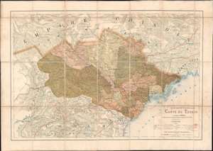
Indo-Chine Française Carte du Tonkin.
$1,000.00
Acquire
- Digital Map Information
- Suitable for large format printing
- File Size: 34.61 MB
- File Type: ZIP / TIFF
- ICC color profile embedded
- Delivered instantly via download link
This is an 1891 French Bureau topographique des Troupes de l'Indo-Chine map of Tonkin, Vietnam, Indochina. Depicting a region ravaged by war and still fighting against French occupation forces, the map was issued to provide the newly appointed governor-general of Indochina Jean-Marie de Lanessan, with a comprehensive view of Tonkin. Cities, towns, and villages are identified, and roads are illustrated throughout. (more details)
Jungles, waterfalls, mountains, revolutionaries.
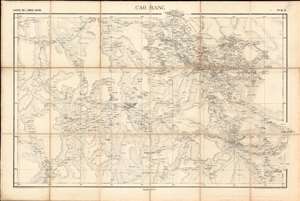
Cao Bang. / Carte de L'Indo-Chine.
$950.00
Acquire
- Digital Map Information
- Suitable for large format printing
- File Size: 39.32 MB
- File Type: ZIP / TIFF
- ICC color profile embedded
- Delivered instantly via download link
A rare 1895 map of the Cao Bằng region in northern Vietnam, on the border with Guangzi, China. The map was issued by the Bureau Topographique des Troupes de l'Indo-Chine and is sheet 6 of the Carte de L'Indo-Chine, an otherwise lost large-scale French military survey of the region. The area covered here, Cao Bằng, is considered one of the most beautiful places on Earth and one of Vietnam's most historically rich regions. The map is the work of surveys completed between 1886 and 1887 by French topographic surveys completed at the order of the Bureau Topographique as well as surveys completed by the 1886 Commission de Delimitation, which determined the Indochina-China border. (more details)
Emerald wasters and limestone monoliths! and sea caves!
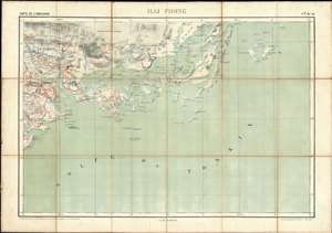
Hai Phong. / Carte de L'Indo-Chine.
$950.00
Acquire
- Digital Map Information
- Suitable for large format printing
- File Size: 35.93 MB
- File Type: ZIP / TIFF
- ICC color profile embedded
- Delivered instantly via download link
A rare 1895 map of the Hai Phong and Hạ Long Bay area in northern Vietnam, off the Gulf of Tonkin. The map was issued by the Bureau Topographique des Troupes de l'Indo-Chine and is sheet 10 of the Carte de L'Indo-Chine, an otherwise lost large-scale French military survey of the region. The area covered here, the northeastern coastal section of the Gulf of Tonkin, is considered one of the most beautiful places on Earth, flocked by both local and foreign tourists for its sparkling waters and majestic islands. The map is the work of surveys completed between 1899 and 1901 by French topographic officer Dominique Eugène Paul Balagny. (more details)
The path of invading armies - past limestone monoliths and stunning waterfalls.
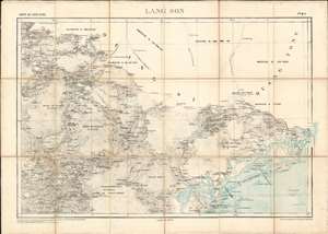
Lang Son. / Carte de L'Indo-Chine.
$950.00
Acquire
- Digital Map Information
- Suitable for large format printing
- File Size: 38.31 MB
- File Type: ZIP / TIFF
- ICC color profile embedded
- Delivered instantly via download link
A rare 1895 map of the Lạng Sơn region in northern Vietnam, off the Gulf of Tonkin and along the northern border with China. The map was issued by the Bureau Topographique des Troupes de l'Indo-Chine and is sheet 7 of the Carte de L'Indo-Chine, an otherwise lost large-scale French military survey of the region. The area covered here, the northeastern coastal section of the Gulf of Tonkin and the mountainous region as far as the city of Lạng Sơn, is considered one of the most beautiful places on Earth. The map is the work of surveys completed between 1886 and 1887 by French topographic officer Dominique Eugène Paul Balagny, and in 1886 along the Chinese border by a mysterious 'Lieutenant Privè.' (more details)
The gateway to the Red River Delta.
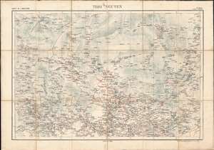
Thai Nguyen. / Carte de L'Indo-Chine.
$750.00
Acquire
- Digital Map Information
- Suitable for large format printing
- File Size: 46.64 MB
- File Type: ZIP / TIFF
- ICC color profile embedded
- Delivered instantly via download link
A rare 1895 map of the Thái Nguyên region in northern Vietnam, north of Hanoi. The map was issued by the Bureau Topographique des Troupes de l'Indo-Chine and is sheet 6 of the Carte de L'Indo-Chine, an otherwise lost large-scale French military survey of the region. The area covered here, Thái Nguyên, is a mountainous, midland region. It is the gateway, via road, rail and waterways, for socio-economic exchange with the important Red River Delta. It is also the site of Tam Đảo National Park. The map is the work of surveys completed between 1886 and 1887 by French topographic surveys completed at the order of the Bureau Topographique as well as surveys completed by the 1886 Commission de Delimitation, which determined the Indochina-China border. (more details)
The Mekong Delta - one of the Earth's most ecologically diverse areas.
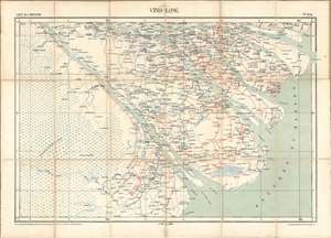
Vinh-Long. / Carte de L'Indo-Chine.
$950.00
Acquire
- Digital Map Information
- Suitable for large format printing
- File Size: 34.17 MB
- File Type: ZIP / TIFF
- ICC color profile embedded
- Delivered instantly via download link
A rare 1895 map of the Vinh-Long region of southern Vietnam, in the sprawling Mekong Delta. The map was issued by the Bureau Topographique des Troupes de l'Indo-Chine and is sheet 43 of the Carte de L'Indo-Chine, an otherwise lost large-scale French military survey of the region. The area covered here, the Mekong Delta and inland as far as the city of Vinh-Long, is considered one of the most beautiful places on Earth. The map is the work of surveys completed between 1886 and 1887 by French topographic officer Dominique Eugène Paul Balagny. (more details)
A most unusual compilation.
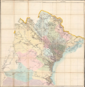
Tonkin.
$1,200.00
Acquire
- Digital Map Information
- Suitable for large format printing
- Full resolution TIFF file
- ICC color profile embedded
- Delivered instantly via download link
An unusual hand-compiled 1899 dissected map of Tonkin, or North Vietnam, prepared and published by the Bureau Topographique des Troupes de l'Indo-Chine. (more details)