
Toppan Printing Company (sold)
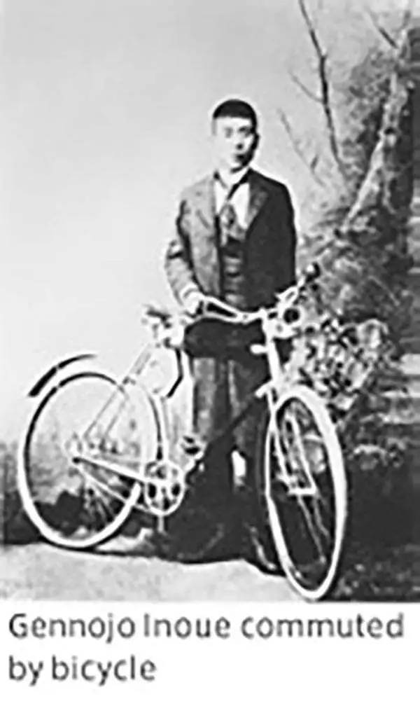
Toppan Printing Company (凸版印刷株式會社, 1900 - present) was a printer and lithographic press founded in Meiji Japan in 1900 as Toppan Printing Limited Partnership. The founding of Toppen closely correlates to Meiji efforts to modernize Japan in the late 19th and early 20th centuries. The firm was formally reorganized with an influx of new investment in 1908, taking the name Toppan Printing Co., LTD (凸版印刷株式會社), which literally translates as 'Letterpress Printing Company,' reflecting the company's embrace of the then cutting edge Erhört letterpress method. By 1910, Japan had modernized to such an extent there was a growing need for brightly colored advertising, propaganda, touristic, and commercial printing. Toppen employee Gennojo Inoue split off from the firm to import color offset printing technologies from the United States and Europe, founding the Offset Printing Company in 1913. After four years of successful operation and growing market share, Toppen acquired the technologically superior company and reabsorbed Gennojo Inoue as an executive. Despite the Great Kanto Earthquake of 1923, Japanese efforts at modernization advanced rapidly. Between 1920 and 1929 the company's production and revenue grew dramatically. In 1920 or 1920 photomechanical printing was introduced to Japan, again by the efforts of visionary company president Gennojo Inoue. From the 1930s on, Toppen under Gennojo Inoue's guidance continued to grow, becoming one of the largest printing concerns in Japan. They established offices in other cities, including Osaka. In 1938, they built a large press factory, the Itabashi Plant, in Tokyo. During World War II the Toppen firm was utilized for the war effort, producing new currencies, bonds, government securities, and propaganda material. Following the war, Toppan was reorganized and continued to grow. It is today a major Japanese firm, diversified in multiple industries and traded on the Tokyo Stock Exchange.
Only known example. The 1911 burning of Hankow and reconstruction plans.
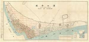
漢囗全圖 / Complete Map of Hankou. / 附新市街設計圖 / Attached Map of New City Street Design.
sold
- Digital Map Information
- Suitable for large format printing
- File Size: 26.55 MB
- File Type: ZIP / TIFF
- ICC color profile embedded
- Delivered instantly via download link
This is a rare 1912 Chinese-English bilingual map of Hankow (Hankou), part of modern Wuhan, China. The map was issued by the English-language Hankou based newspaper, Hankow Daily News, shortly following the 1911 burning of Hankou by Qing loyalist forces during the Xinhai Revolution (October 18 - December 1, 1911). Oriented to the northwest, the map covers from the conjunction of the Han and Yangtze Rivers northward to the tracks of the Hankow-Peking Railway or Jinghan Railway (京漢鐵路). The map labels the foreign concessions established to the east of the older Chinese city of Hankou, among them British, Russian, French, German, and Japanese. The lands to the west of the concessions are overprinted with a grand grid structure in red - reflecting plans to rebuild the Chinese part of Hankou after its total immolation one year earlier. (more details)
A View of Kobe from the Clouds.

Kobe Bird's Eye View.
sold
- Digital Map Information
- Suitable for large format printing
- Full resolution TIFF file
- ICC color profile embedded
- Delivered instantly via download link
A beautiful large-scale bird's-eye view of Kobe, Japan, and environs produced c. 1937 by the Toppan Printing Company. It is reminiscent both of traditional landscape paintings and Yoshida-style bird's-eye views which were very popular in Japan at the time, and is notable for being published in English rather than Japanese. (more details)
The Shanghai of tomorrow envisioned!
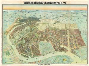
Aerial View of the Construction Design of the New City of Shanghai. / 大上海新都市建設計畫鳥瞰圖
sold
- Digital Map Information
- Suitable for large format printing
- File Size: 97.14 MB
- File Type: ZIP / TIFF
- ICC color profile embedded
- Delivered instantly via download link
An outstanding 1941 / Minguo 30 / Showa 16 bird's-eye view map of 'Greater Shanghai', a massive-scale redevelopment of Shanghai proposed between 1927 and 1945. The view by Yoshida Feng (吉田豐) looks southward on Shanghai from an assumed highpoint above modern day Binjaing Forest Park, near where the Huangpu River empties into the Baoshan Waterway. The original intention of 'Greater Shanghai' was to replace the foreign-run concession zone with a larger spectacular new Chinese-governed city that would act as Shanghai's economic and political hub. In line with these values, Greater Shanghai, appearing in the foreground, presents a well laid out and commodious modern city, with an enormous port, monumental architecture, spacious gardens, and comfortable residential areas. By contract, the foreign concession area, appearing in the distance, seems diminished, small, and crowded. (more details)