
Vielé, Herman Knickerbocker (sold)
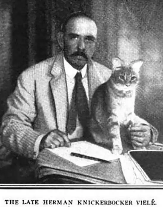
Herman Knickerbocker Vielé (January 31, 1856 - December 14, 1908) was an American surveyor, civil engineer, artist, novelist, playwright, and poet active in the late 19th and early 20th centuries. He was the son of the important 19th century New York civil engineer, mapmaker, and politician Egbert Ludovicus Vielé. Herman Vielé was initially trained to follow in his father's footsteps as a surveyor and civil engineer. His early employment history is vague, but he did work in Washington D.C. surveying subdivisions for real-estate developers. He actively lobbied for street extension work and the development of the Upper West Side in the late 1870s. In 1879 he testified to block the construction of the Brooklyn Bridge, which he rightly claimed could not be completed on the projected budget. In the 1890s he completed various surveys in Boston regarding the extension of Massachusetts Avenue. Despite his very active career as a Civil Engineer, Herman Vielé is best known as a writer and artist, authoring several books between 1901 and 1908. His most prominent work is The Last of the Knickerbockers, a comedic look at the Dutch heritage of New York. His final work, On the Lightship was published posthumously in 1909. He was marred in 1887 to Mary Warton of Philadelphia.
The first map of the Upper West Side!
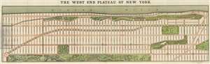
The West End Plateau of New York.
sold
- Digital Map Information
- Suitable for large format printing
- File Size: 61.55 MB
- File Type: ZIP / TIFF
- ICC color profile embedded
- Delivered instantly via download link
This is the first separately published map of the Upper West Side of Manhattan (New York City) and arguably the first printed map of the Upper West Side. Published in 1879 by Herman Knickerbocker Vielé, son of the prominent New York mapmaker and politician Egbert Ludovicus Vielé, this map was issued to promote real estate investment in the high ground of the Upper West Side. The map covers Manhattan from roughly Columbus Circle (58th Street) to 130th Street, between the Hudson River and Central Park. It includes all of Riverside Park, the Western side of Central Park, Morningside Park, the future site of Columbia University (Bloomingdale Lunatic Asylum), and Manhattan Square (American Museum of Natural History). Along 9th Avenue (Columbus Ave), the map illustrates the West Side and Yonkers Patent Railway Company, service along which opened in June of 1879 as far as 104th Street, and by December of the same year, to 155th Street. (more details)