
Vogtherr, Heinrich (sold)
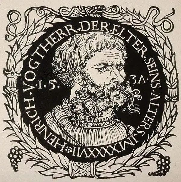
Heinrich Vogtherr the Elder (1490 - 1556) was a German formschneider artist, printer, and author. He was born in the Bavarian town of Dollingen, the son of a doctor and brother of a priest and of a Bishop. He is thought to have received artistic training in Augsburg and likely studied wood engraving under Hans Burgkmair the Elder (1473–1531). At some point during his travels, he embraced the Lutheran reforms, which informed his own work and that which he would undertake for other authors; much of his early output would be Reformation broadsheets and pamphlets. Although he took part in the religious wars of the 1520s, he would eventually find his way with his family to safety in Strasbourg, where he would find most of his work producing illustrations for the active publishing community there. He would, in 1536, found his own print shop, but work would require him to move frequently: in 1538 to Basel, Speyer, and Augsburg. He would settle for some years in Zurich, working in the print shop of Christoph Froschauer. It was during his tenure there that he would produce Johann Honter's world map and many of the woodcut illustrations for Johannes Stumph's history of Switzerland. In 1550, he would move to Vienna at the command of Emperor Ferdinand I; he died in that city in 1556. Heinrich's son, Heinrich Vogtherr the Younger (1513 - 1568), would become a painter.
Dominant model of the world map before Ortelius.
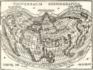
Universalis Cosmographia.
sold
- Digital Map Information
- Suitable for large format printing
- Full resolution TIFF file
- ICC color profile embedded
- Delivered instantly via download link
This is an attractive edition of Johann Honter's 1546 map of the world, which made available to a broad audience the groundbreaking cartography of Martin Waldseemüller. The precursors to this map being rarities priced orders of magnitude higher, Honter's map is one of the earliest acquirable maps to show this stage of cartography, and to show the place name 'America'. (more details)
Most beautifully executed woodcut map of Europe.
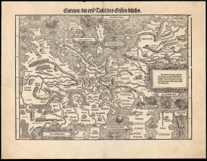
Europa die erst Tafel des Ersten Buchs.
sold
- Digital Map Information
- Suitable for large format printing
- DPI: 600
- File Size: 36.82 MB
- File Type: ZIP / TIFF
- ICC color profile embedded
- Delivered instantly via download link
This is a rare, 1548 example of Johann Stumpf's southern oriented map of Europe. It is the only map derived from Sebastian Münster's map of the continent, and thus is the last derivative of Martin Waldseemüller's unobtainable 1511 map of Europe. While Münster's map went to many editions and is readily acquirable, Stumpf's work was produced in significantly smaller numbers and consequently is a much rarer work. It is moreover larger and more beautifully executed, and is consequently more desirable. (more details)