
Waterlow and Sons
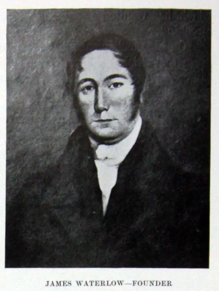
Waterlow and Sons (1810 - 1961) was a British engraving and printing concern active in London specializing in currency, postage stamps, bond certificates, and occasionally maps. The firm was founded by James Waterlow (1790 - 1876) in 1810 on Birchin Lane, London, as a legal document printer and copyist. By 1852, they had expanded into stamps and his sons, Albert, Alfred, Sydney, and Walter joined the business. One year after James Waterlow's death, in 1877, infighting among the sons led Alfred Waterlow to split off, forming Waterlow Brothers and Layton. The rift was settled by 1920, and the two firms once again merged under the Waterlow and Sons imprint. They were involved in the Portuguese Bank Note Affair of 1925, wherein the Portuguese fraudster Artur Virgílio Alves Reis convinced the firm to print 200,000 banknotes of 500 Portuguese Escudos each, amounting to roughly 88% of Portugal's GDP. The affair was settled in court with a ruling against Waterlow. In 1928, Waterlow lost its most lucrative contract, printing English banknotes, and began to fall into decline. In 1961, they were acquired by Purnell and Sons who, shortly afterwards, sold the firm to De La Rue. Ironically, De La Rue acquired the contract to print Bank of England banknotes again in 2003 – 75 years after Waterlow lost it!
Company Rule in Rhodesia.
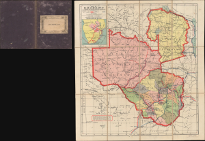
Map of Rhodesia under the Administration of the British South Africa Company / Rhodesia.
$750.00
Acquire
- Digital Map Information
- Suitable for large format printing
- File Size: 17.78 MB
- File Type: ZIP / TIFF
- ICC color profile embedded
- Delivered instantly via download link
This is a scarce c. 1908 pocket map of Rhodesia during the era of Company Rule, printed by Waterlow and Sons for Edward Stanford. It reflects a period when the British South Africa Company was at the height of its influence, and when shifting relations among colonial powers were drawing the British and Portuguese closer together in Africa. (more details)
A rare map of Cuba's railroad network before the consolidations of the 1920s.
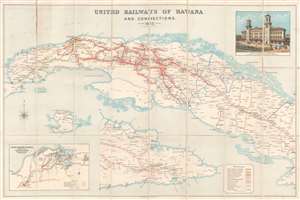
United Railways of Havana and Connections.
$1,200.00
Acquire
- Digital Map Information
- Suitable for large format printing
- File Size: 40.01 MB
- File Type: ZIP / TIFF
- ICC color profile embedded
- Delivered instantly via download link
This is a 1913 Waterlow and Sons railroad map of Cuba detailing the British owned United Railways of Havana. Depicting the island in two sections, fifteen different colors are used to illustrate the railways owned and operated independently of one another. A key situated along the bottom border specifies which color indicates which railroad, the two largest of which, the United Railways of Havana and the Cuba Railroad, essentially split the island in half. Stops are labeled along all the railways, with a smattering of towns and villages not connected to the rail network also identified. An inset map situated in the lower left corner details the railway network in the vicinity of Havana, tracing the routes of six different companies. A view of the new railroad terminal in Havana, operated by the Havana Terminal Railroad Company, an American company that was in fact a subsidiary of the United Railways of Havana, is included on the upper right. (more details)
Foreign Funds and Yuan Shikai's Power Grab
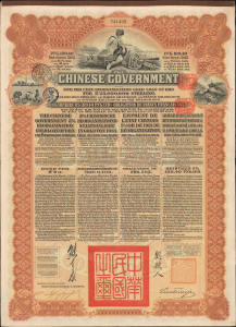
The Chinese Government Five Per Cent. Reorganisation Gold Loan of 1913 for L25,000,000 Sterling.
$1,500.00
Acquire
- Digital Map Information
- Suitable for large format printing
- Full resolution TIFF file
- ICC color profile embedded
- Delivered instantly via download link
This is a 1913 government £20 bond printed by Waterlow and Sons and issued by the new Republic of China to finance the Chinese Reorganization Gold Loan of 1913. It is a relic of an oft-forgotten period of the early Chinese republic, defined by dynamism and optimism but saddled with a host of problems which it struggled to overcome. (more details)
Shanghai at the height of the 'Concession Period.'
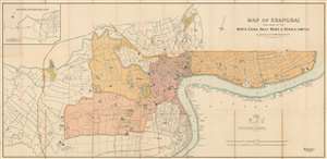
Map of Shanghai Published by the North-China Daily News and Herald, Limited.
$17,500.00
Acquire
- Digital Map Information
- Suitable for large format printing
- File Size: 62.63 MB
- File Type: ZIP / TIFF
- ICC color profile embedded
- Delivered instantly via download link
An extremely rare 1918 North-China Daily News and Herald map of Shanghai, China. Focusing on the Bund and the International Settlement, the map extends from the Shanghai Hangchow Ningpo Railroad in the west to Post Garden and the Standard Oil facility in the east. Derived roughly from the Municipal Council Map of the same year, this map is intensely detailed, with streets, businesses, clubs, parks, government offices, and civic institutions noted. Just outside the International Settlement boundary the Shanghai Jewish Club is noted. (more details)
The dawn of instant global communication.
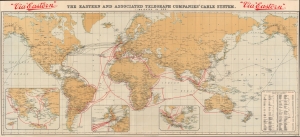
The Eastern and Associated Telegraph Companies' Cable System.
$650.00
Acquire
- Digital Map Information
- Suitable for large format printing
- Full resolution TIFF file
- ICC color profile embedded
- Delivered instantly via download link
This is a 1920 Waterlow map of the world illustrating the global telegraph network. Red overprinting highlights the lines of the Eastern and Associated Telegraph Companies. Connecting London with the world, the network 'jumps' from port to port, with a few overland connections in British India and Australia. (more details)
Coal Capital of the World.
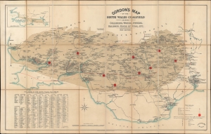
Gordon's Map of the South Wales Coalfield shewing Collieries, Works, Owners, Railways, Kinds of Coal, etc. New Edition.
$600.00
Acquire
- Digital Map Information
- Suitable for large format printing
- File Size: 24.04 MB
- File Type: ZIP / TIFF
- ICC color profile embedded
- Delivered instantly via download link
A comprehensive c. 1925 map of the coalfields and coal mining operations in South Wales, prepared by mining engineer George Edward Gordon and published by Waterlow. At this time, South Wales was one of the most (if not the most) prolific coal producing regions on the planet. (more details)
Ancient sites from Babylonia and Assyria.
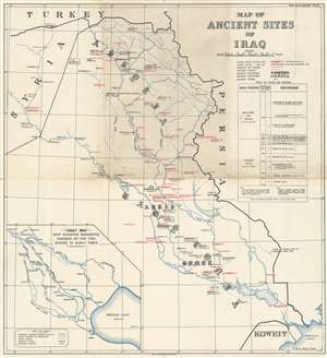
Map of Ancient Sites of Iraq.
sold
- Digital Map Information
- Suitable for large format printing
- File Size: 13.23 MB
- File Type: ZIP / TIFF
- ICC color profile embedded
- Delivered instantly via download link
This is a rare 1929 Waterlow and Sons map of the ancient sites of Iraq. Both ancient and modern names are provided for cities, towns, and countries. City names in black were founded prior to 539 B.C., while cities identified by red were founded after 539 B.C. Numbers between one and nine appear in parentheses beside the city names, referring to the periods when each city was of importance. Nineveh, Nippur, Babylon, and Ur are among the most important. Modern city names, when applicable, are included below the ancient names in parentheses. Ancient Assyria and Babylonia, two important ancient civilizations, blossomed here and are identified in an elaborate typeface. A table of dates and periods is situated along the right border, offering context. An inset map of the Tigris and Euphrates Rivers as they may have appeared in ancient times is situated in the lower left. (more details)