
Aomi Yasuharu (sold) (碧海康温)

Aomi Yasuharu (碧海康温; 1884 - 1943) was a geographer who taught at the Tokyo Normal Women's School (東京女子高等師範學院), now Ochanomizu University (お茶の水大学). He was tasked by the Ministry of Education for reviewing a handful of maps for the Osaka Asahi Shimbun (大阪朝日新聞社) in the 1930s.
AKA: 碧海康温
Japan's growing empire on the eve of World War II.
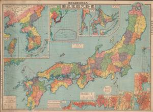
最新大日本地圖 / [Latest Map of Japan].
sold
- Digital Map Information
- Suitable for large format printing
- File Size: 90.24 MB
- File Type: ZIP / TIFF
- ICC color profile embedded
- Delivered instantly via download link
This is a large 1933 map of Japan (including Korea, Taiwan, Hokkaido, the Ryukyus, and other colonial possessions) published as an addendum to the Osaka Asahi Shimbun (大阪朝日新聞). It provides a great deal of geographic and economic information about the different parts of the Japanese Empire on the eve of World War II, just as the Japanese military was embarking on new conquests that would eventually lead to the destruction of the empire. (more details)
Military and economic power on the eve of World War II.
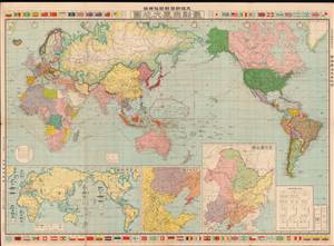
最新世界大地圖 / [Latest World Map].
sold
- Digital Map Information
- Suitable for large format printing
- File Size: 76.69 MB
- File Type: ZIP / TIFF
- ICC color profile embedded
- Delivered instantly via download link
This is a 1933 world map published by the Osaka Asahi Shimbun in the early phase of the Second Sino-Japanese War, an antecedent to and later a theater of World War II. The global tensions that would define World War II are evident here, particularly in the inset map at bottom-left showing the relative military strength of major powers. (more details)
Military and economic power on the eve of World War II.
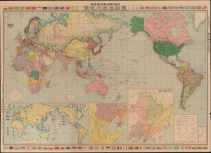
最新世界大地圖 / [Latest World Map].
sold
- Digital Map Information
- Suitable for large format printing
- File Size: 77.29 MB
- File Type: ZIP / TIFF
- ICC color profile embedded
- Delivered instantly via download link
This is a 1933 world map published by the Osaka Asahi Shimbun in the early phase of the Second Sino-Japanese War (1937 - 1845), an antecedent to and later a theater of World War II (1939 - 1945). The global tensions that would define World War II are evident here, particularly in the inset map at bottom-left showing the relative military strength of major powers. (more details)