
Baltekal-Goodman, Michael A. (sold)
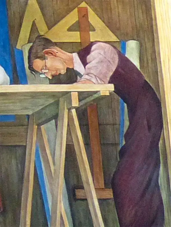
Michael A. Baltekal-Goodman (January 7, 1903 - April 12, 1991) was Lithuanian-American artist, wood engraver, pastelist, and architect active in California in throughout the 20th century. Baltekal-Goodman was bor in in Lithuania and immigrated to the united states in 1921, settling in Berkeley California, where he studied at the UC Berkeley school of architecture. There is studied under Ray Boynton, Perham Nahl, and Eugen (Eugene) Neuhaus. He collaborated with Eugen Neuhaus on at least one map, a pictorial image of Berkeley, California. During the Great Depression, in the 1930s he was involved with the local WPA (Works Projects Administration). After graduating from UC, he worked for the architecture firm of Timothy Pflueger, Willis Polk, and Bernard Maybeck. He also collaborated with Diego Riviera, who painted him. Baltekal-Goodman died at his Berkeley home in 1991.
Berkeley, meet Art Deco!
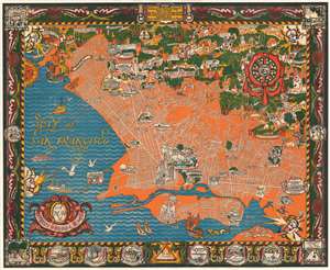
A Map of Berkeley, Oakland and Alameda.
sold
- Digital Map Information
- Suitable for large format printing
- File Size: 110.52 MB
- File Type: ZIP / TIFF
- ICC color profile embedded
- Delivered instantly via download link
This is an outstanding c. 1930 large-format art deco chromolithograph pictorial map of Berkeley, Oakland, and Alamada County, California. The map was issued by the Berkeley artists Michael A. Baltekal-Goodman and Eugene (Eugen) Neuhaus, both then at U.C. Berkeley. Coverage extends from the San Francisco Bay to the Berkeley Hills. The artists have employed a bold color scheme that contracts the blue of San Francisco Bay with the orange and white Berkeley-Oakland street grid. Pictorial elements include vignette illustrations of significant buildings and other attractions. In the hills to the northeast, the focus is more on cultural references, natural beautify, and wildlife. The map features a decorative border with numerous vignettes illustrating historical events, ranging from an 1874 temperance protest to dueling. (more details)