
Barberena Fuentes, Santiago Ignacio (sold)
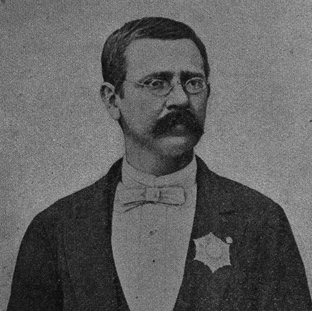
Santiago Ignacio Barberena Fuentes (July 30, 1851 - November 26, 1916) was a Salvadorian educator, lawyer, historian, linguist, and engineer. He was born in Antigua, Guatemala but from 1859, studied and lived in San Salvador. He received his high school education at Colegio de la Asunción. He subsequently took degrees in law (Universidad de El Salvador, 1876) and topographical engineering (Universidad de San Carlos de Guatemala, 1877). He was then assigned as a surveyor to settle the 1878 - 1881 Guatemala - Mexico boundary question. Later, in 1886, he surveyed north-eastern El Salvador to draw the border with Honduras. He was also a noted archeologist. In 1888, at the invitation of Honduras, he participated in an expedition to the ruined Mayan city Copán. Later, in 1892, he made the first archaeological studies of El Tazumal, Casa Blanca, and Cara Sucia in western El Salvador, as well as in the Cueva del Espíritu Santo, in Corinto, Morazán. In his later years he became the director of the Observatorio Astronómico y Meteorológico de El Salvador (1893 - 1911) and the Museo Nacional de El Salvador (1903 - 1911), now known by the official name of Museo Nacional de Antropología Dr. David J. Guzmán. In 1905, José Emilio Alcaine (1866 - 1963), he is listed as the primarily cartographer behind the Nuevo Mapa del Salvador, an ambitious new national map on a large scale.
The 'Coffee Republic'.
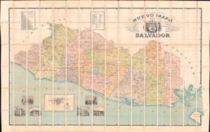
Nuevo Mapa Del Salvador Levantado por disposicion y bajo los auspicios del Supremo Gobierno por los Ingenieros Doctores Don Santiago I Barberena y Don Jose E. Alcaine de la Universidad de San Salvador 1892 - 1905.
sold
- Digital Map Information
- Suitable for large format printing
- File Size: 347.2 MB
- File Type: ZIP / TIFF
- ICC color profile embedded
- Delivered instantly via download link
This is the rare large scale national map of El Salvador, the 'Coffee Republic', composed by Santiago I. Barberena and Jose E. Alcaine. The map, as the title suggests is a 'nuevo' national map, expanding upon and superseding the 1859 Maximillian von Sonnenstern Mapa General. It appeared during a period of political and economic optimism for El Salvador. On May 1892, the year work on this map began, El Salvador, Guatemala, Honduras, and Nicaragua signed a peace treaty strengthen relations and open the path for a future Central American Union (1896 - 1898). While the union did not last to see the map's publication, there can be little doubt that it originated from optimism associated with these efforts. (more details)