
Bradshaw, George (sold)
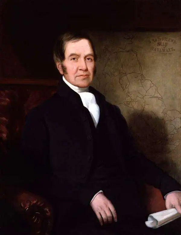
George Bradshaw (July 29, 1801 - September 6, 1853) was a British map publisher active in the middle part of the 19th century. Bradshaw was born in Windsor Bridge, Pendleton, Lancashire, England, the only son of Thomas Bradshaw and Mar Rogers. From 1815, when he was 14, he apprenticed in Manchester under the engraver J. Beale. After his apprenticeship, in 1820, he moved briefly to Belfast, where he worked as a printer and engraver. He returned to Manchester in 1821, and there concentrated on map engraving. Around 1839, he began publishing railroad timetables, maps, and guides, which he updated monthly. He had, by this time, taken on his own apprentice, William Thomas Blacklock, who joined the Bradshaw firm as a partner in 1842. The firm was thus renamed 'Bradshaw and Blacklock.' Bradshaw's railroad guides were extremely successful, earning him both fame and wealth. On a trip to Norway in 1853, Bradshaw contracted cholera and died in Christiania, where he is buried. The firm continued to publish under the 'Bradshaw and Blacklock' imprint for many years after his death. In addition to his publishing work, when he was 20 or so, Bradford became a Quaker, joining the Society of Friends.
Undoubtedly the first large scale map to treat railways as the primary subject in terms of content and presentation…' - Shirley
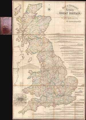
Map and Sections of the Railways of Great Britain.
sold
- Digital Map Information
- Suitable for large format printing
- Full resolution TIFF file
- ICC color profile embedded
- Delivered instantly via download link
Here in its rare first edition, this 1839 map of Great Britain by George Bradshaw is considered to be the first comprehensive railroad map. The map covers all of Great Britain as well as parts of the Hebrides and Ireland. Complete railroad lines are identified in strong red, while lines under construction or proposed, such as the 'Northern and Eastern Railway' and the 'Manchester and Birmingham Extension', appear in yellow. It is of note that, while this my no means the first map to show a railroad, it is, in the words of map historian Rodney Shirley,
undoubtedly the first large scale map to treat railways as the primary subject in terms of content and presentation.… and indeed the map is magnificent in size and presentation, comprehensive in scope, and extensive it is meticulous attention to detail. In addition to the map proper, there are 32 profile sections illustrating elevation for each major railway. An inset map of London and vicinity appears in the lower left quadrant. (more details)