
Brown, Arthur A. (sold)
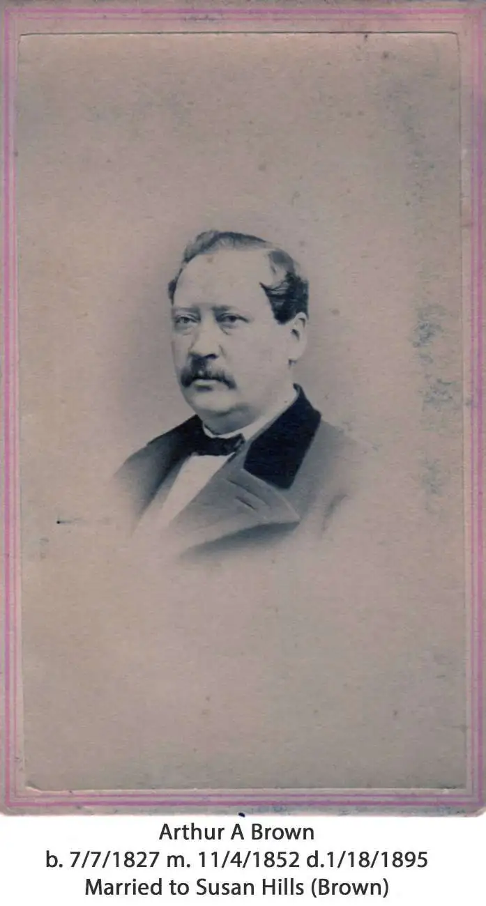
Arthur A. Brown (July 7, 1827 - June 1, 1895) was a New York lithographer active in the mid to late 19th century. Brown was born in Ireland and emigrated to New York in 1849. At the time of immigration, his occupation was listed as a tailor. By 1855 he appears in the New York State Census as a lithographer. In the 1869s he printed extensively for the City Clerk's office both in Manhattan and Brooklyn. His firm, A. Brown and Company was established around 1860. His office was initially located at 179 Broadway, then 47 Nassau (1863 - 1865), 9 and 11 Thames Street (1866 - 1874), 306 Broadway (1875 - 1881), and 116 Duane Street (1882 - 1894). Brown died in 1895 and is interred in Cyprus Hills Cemetery, Brooklyn.
Bryant Park! Time Square! Grand Central!
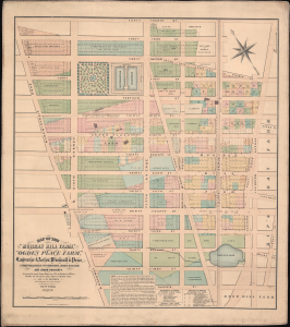
Map of the 'Murray Hill Farm,' 'Ogden Place Farm,' Lawrence and Astor, Wiswall and Price, Corporation, Wm. Wright, John Taylor and other Property.
sold
- Digital Map Information
- Suitable for large format printing
- File Size: 36.19 MB
- File Type: ZIP / TIFF
- ICC color profile embedded
- Delivered instantly via download link
An exceptional and extremely scarce 1867 John Bute Holmes map of New York City's Midtown East and Murray Hill neighborhoods. Holmes' map covers the area from 30th Street to 44th Street and from Broadway (Bloomingdale Road) to Lexington Avenue. This includes some of New York City's most desirable real estate, including Bryant Park, the New York Public Library, the site of the Empire State Building, 42nd Street, Grand Central Station (not yet built), and the most prestigious extensions of 5th Avenue, Madison Avenue, Park Avenue (here as 4th Ave), and Lexington Avenue.
This is one of a series of more than 50 maps prepared by Holmes to illustrate the early farms, inheritance, and topography of Manhattan. Here, as the map's title suggests, Holmes identifies the large 'Murray Hill Farm,' as well as 'Ogden Place Farm,' and smaller land holdings associated with Lawrence, Astor, Wiswall, Price, William Wright, and John Taylor. (more details)
This is one of a series of more than 50 maps prepared by Holmes to illustrate the early farms, inheritance, and topography of Manhattan. Here, as the map's title suggests, Holmes identifies the large 'Murray Hill Farm,' as well as 'Ogden Place Farm,' and smaller land holdings associated with Lawrence, Astor, Wiswall, Price, William Wright, and John Taylor. (more details)
Extraordinary rare map of Manhattan's Midtown East and Murray Hill - possibly the only example in private hands.
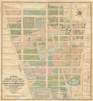
Map of the 'Murray Hill Farm,' 'Ogden Place Farm,' Lawrence & Astor, Wiswall & Price, Corporation, Wm. Wright, John Taylor and other Property.
sold
- Digital Map Information
- Suitable for large format printing
- File Size: 32.17 MB
- File Type: ZIP / TIFF
- ICC color profile embedded
- Delivered instantly via download link
An exceptional and extremely scarce 1867 John Bute Holmes map of New York City's Midtown East and Murray Hill neighborhoods. Holmes' map covers from 30th street to 44th street and from Broadway (Bloomingdale Road) to Lexington Avenue. This includes some of New ... (more details)