
Carver, Jonathan (sold)
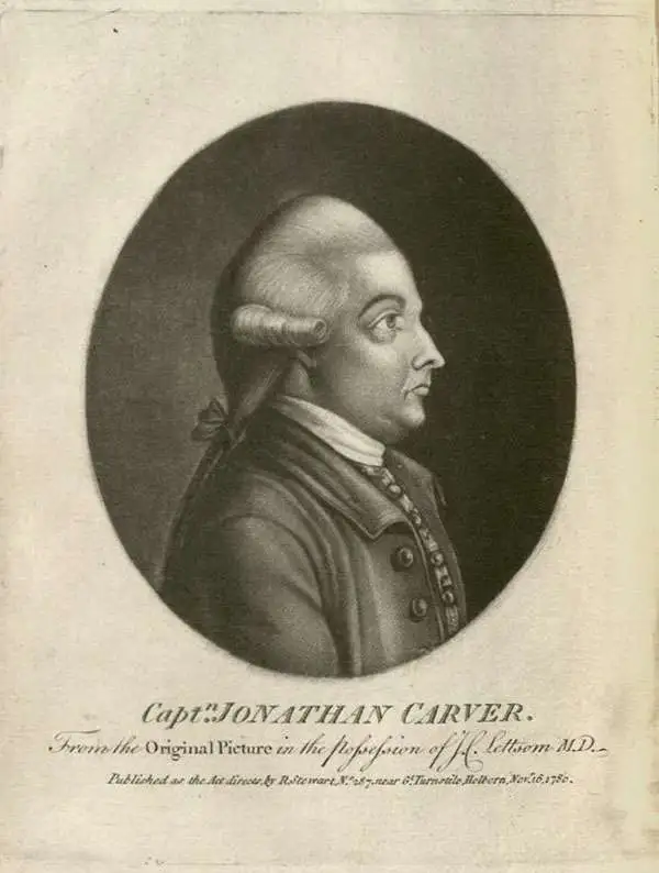
Jonathan Carver (April 13, 1710 - January 31, 1780) was an American explorer, cartographer, and writer active during the colonial period. He was born in Weymouth, Massachusetts and, During the French and Indian War (1754 - 1763), saw action with the famous 'Roger's Rangers'. During the war, he was able to learn mathematics and military surveying. He was elevated to captain and given charge of a regiment in 1761. When the war ended, Carver was determined to explore the new British territories ceded by the Treaty of Paris. In 1766, he was hired by the leader of Robert's Rangers, frontiersman and Royal Governor Robert Rogers (1731 - 1795), to join an expedition in search of an interior water route between the Mississippi and the Pacific. With Rogers, he explored parts of the Upper Mississippi basin in modern-day Wisconsin, Minnesota, and Iowa. In 1769, the expedition ended with significant new cartography. Carver believed he may have found a water route to the Pacific - likely the Missouri. In the meantime, Rogers, his patron, was arrested and court-martialed for treason. Carver was caught in the fallout from Rogers' court-martial, and his discoveries were never formally recognized. Seeking redress from the crown, Carver traveled to England, where his requests were heard, though he never received his hoped-for reward for discovering the Northwest Passage. Carver's cartographic information was passed to Robert Sayer, who incorporated some of it into his maps. While in England, Carver also completed his memoirs, published in 1778 as Travels through the Interior Parts of North America, in the Years 1766, 1767 and 1768. He died one year later in 1780. In 1804, several of Carver's descendants portioned the U.S. Congress for ownership of an extensive land grant in Wisconsin Territory - the Carver Grant - apparently ceded to him by the Sioux in exchange for 'many gifts'. The U.S. Congress denied the (probably) fraudulent claims, and the grant was voided despite appearing on maps well into the 1840s.
First English exploraiton fo the Upper Mississippi.
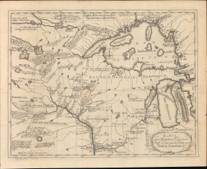
Karte von Hauptman Carvers Reise in den innern Shielen von Nord Amerika.
sold
- Digital Map Information
- Suitable for large format printing
- File Size: 20.22 MB
- File Type: ZIP / TIFF
- ICC color profile embedded
- Delivered instantly via download link
This is the 1780 German edition of Jonathan Carver's map illustrating his pioneering travels in the Upper Mississippi Valley, including parts of modern-day Wisconsin, Minnesota, and Michigan. Carver was the first Englishman to penetrate this region and map it in any detail, making this a significant piece, replete with novel information and fascinating annotations, offering some of the earliest insights into life and travel in this, at the time, near-impenetrable frontier. (more details)
One of the earliest obtainable English language maps to name the United States.
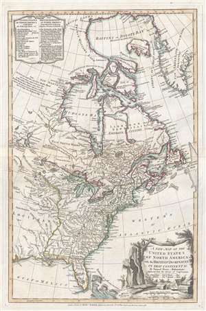
A New Map of the United States of North America with the British Dominions on that Continent…
sold
- Digital Map Information
- Suitable for large format printing
- DPI: 300
- File Size: 6.7 MB
- File Type: ZIP / TIFF
- ICC color profile embedded
- Delivered instantly via download link
This rare 1786 map of the United States by Samuel Dun and Robert Sayer is one of the earliest obtainable English maps to embrace the term 'United Sates.' The map was prepared by Samuel Dunn, a British mathematician, based upon earlier maps by Sayer and ... (more details)