
Cellarius, Christoph (sold)
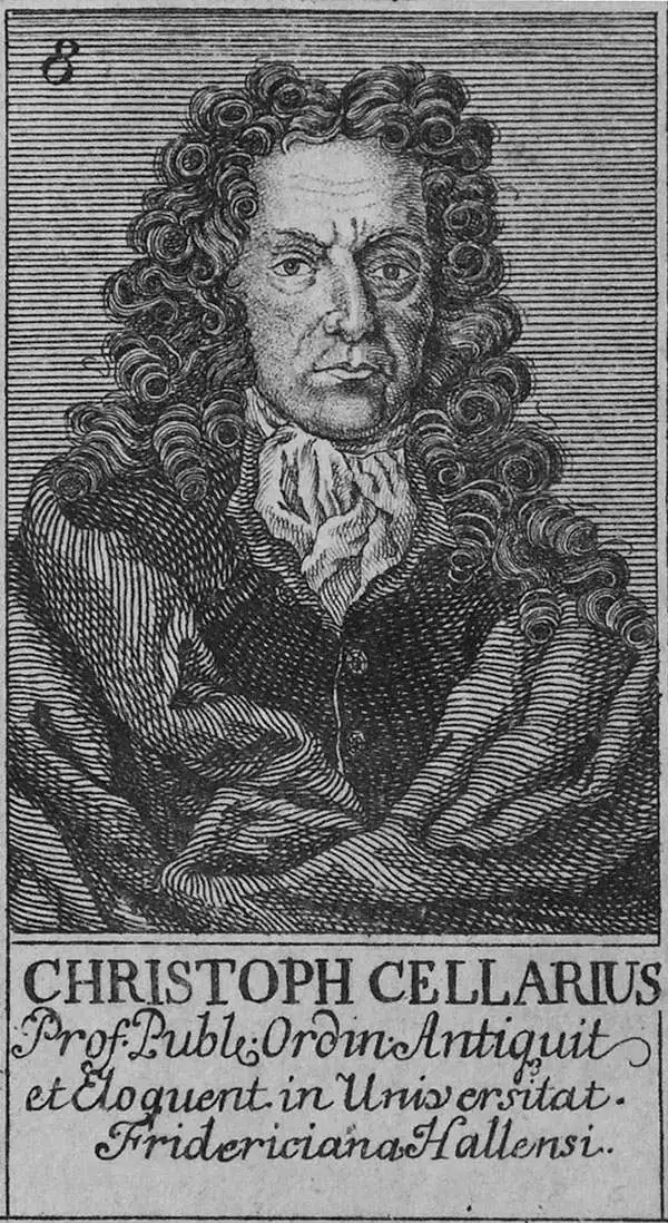
Christoph Cellarius (1638 - 1707) or, more commonly, Christopher Keller was a German scholar, historian and textbook publisher working in the later part of the 17th century. Cellarius is known to have been born in Schmalkalden and to have held academic positions in both Weimar and Halle. C. Cellarius's most important contribution was his 1683 publication of A Universal History Divided into an Ancient, Medieval, and New Period. It was in this work that the concept of history as divisible into three distinct periods (Ancient History, Mediaeval History, and Modern History) was introduced. Likely Cellarius never understood the impact that his structured system of historical nomenclature would have on the way future historians would interpret the past. Christopher Cellarius should not be confused with the more widely known cosmographer Andreas Cellarius
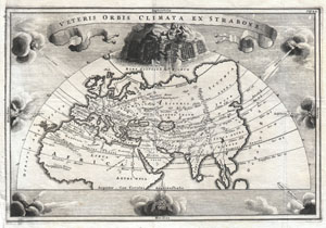
Veteris Orbis Climata ex Strabo
sold
- Digital Map Information
- Suitable for large format printing
- DPI: 300
- File Size: 3.3 MB
- File Type: ZIP / TIFF
- ICC color profile embedded
- Delivered instantly via download link
A rare and beautifully engraved map of the old world divided into seven climatic zones according to the Ancient Greek geographer Strabo. Depicts Europe, Asia, and northern Africa. Surrounded by seven wind heads. At the northern polar caps is a wonderful ... (more details)
One of the 18th century's key works on ancient history.
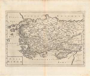
Asia Minor.
sold
- Digital Map Information
- Suitable for large format printing
- DPI: 600
- File Size: 33.01 MB
- File Type: ZIP / TIFF
- ICC color profile embedded
- Delivered instantly via download link
This is a c. 1703 map of Asia Minor by Christoph Cellarius' published in his Notitia Orbis Antiqui, Sive Geographia Plenior.... Cellarius was an expert on ancient languages and history, and this work employs the Latinized names of ancient Anatolian territories and kingdoms. (more details)
The lunar theories of Claudius Ptolemy in stunning old color.
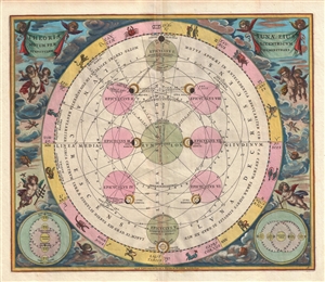
Theoria Lunae, eius Motum per Eccentricum et Epicyclum Demonstrans.
sold
- Digital Map Information
- Suitable for large format printing
- DPI: 300
- File Size: 9.22 MB
- File Type: ZIP / TIFF
- ICC color profile embedded
- Delivered instantly via download link
A fine 1708 Andreas Cellarius celestial chart illustrating the Claudius Ptolemy model of lunar motion. The chart illustrates the lunar epicycles as the moon revolves along various orbits. The central chart is bordered zodiacal iconography. The ... (more details)
The Forge of the Gods.
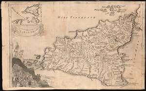
Sicilia.
sold
- Digital Map Information
- Suitable for large format printing
- Full resolution TIFF file
- ICC color profile embedded
- Delivered instantly via download link
This is Isaac Basire's scarce map of Sicily, Italy, with a vignette of Hephaestus' forge at work under the erupting volcano Mt. Etna. This detailed map of the island includes an inset in the upper left showing Sicily's position with respect to Carthage and Malta. The map is a copy of Christoph Cellarius' Sicilia Antiqua, published in his 1686 Geographia Antiqua. (more details)