
Chapin, William (sold)
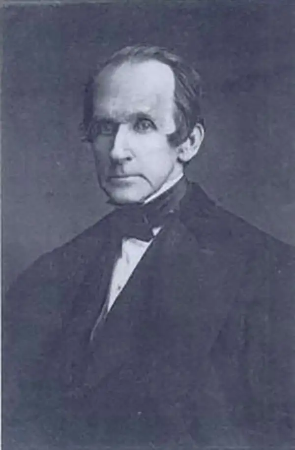
William Chapin (1802 - 1888) was a prominent New York and Philadelphia based engraver active in the early part of the 19th century. Although we know little of Chapin's early years, he seems to have been an apprenticed from 1817, at the age of 15, to John Vallance in the Philadelphia firm Tanner, Vallance, Kearny & Company. This firm, which is responsible for Tanner's early maps and atlases, had a substantial cartographic corpus. There are records to indicate that Chapin purchased his freedom from Vallance for 125 USD in 1822. In time, he established a significant engraving business under his own name, and with a heavy focus on cartographic material, in both Pennsylvania and New York. Fielding suggests that Chapin's large map of the United States is in fact the first American published map to be engraved steel. Around 1839, Chapin seems to have changed careers when he accepted a position as Commissioner of Public Schools in New York. In this capacity, Chapin developed an interest in working with and teaching blind children. Chapin served as headmaster of several schools for the blind in Ohio and New York. His most significant work with the blind took place at Overbrook School for the Blind, where he developed contemporary techniques for teaching and published the first dictionary for the blind. (Fielding, M. & Carr, J. Dictionary of American Painters, Sculptors, and Engravers, p. 61.)
The best and most detailed map of Colombia from the first Republic of Colombia Period.
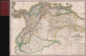
A New Map of Gran Colombia with its departments and Provinces: Compiled principally from the manuscript maps drawn by the order of the Colombia Government and other authentic information.
sold
- Digital Map Information
- Suitable for large format printing
- DPI: 300
- File Size: 29.13 MB
- File Type: ZIP / TIFF
- ICC color profile embedded
- Delivered instantly via download link
A rare and important 1828 separate issue map of the Republic of Colombia or 'Gran Colombia' prepared by Henry Schenk Tanner. This is the largest and most detailed specific map of Colombia we have been able to identify from the first Republic of Colombia or Gran ... (more details)
An extremely rare, previously uncatalogued Ohio wall map.
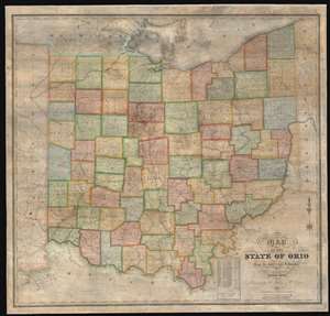
Map of the State of Ohio from the latest and best Authorities.
sold
- Digital Map Information
- Suitable for large format printing
- DPI: 600
- File Size: 165.32 MB
- File Type: ZIP / TIFF
- ICC color profile embedded
- Delivered instantly via download link
This is an impressively elusive 1831 William Chapin wall map of Ohio - one of the earliest large format wall maps of the state to exhibit a complete county structure. The state's interconnected network of roads and canals is illustrated in detail, including the National Road (then under construction), the Ohio and Erie Canal, and the Miami and Erie Canal. This map supersedes the 1825 John Kilbourne map of Ohio, expanding upon it in terms of completeness, detail, and proportion. (more details)
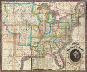
Map of the United States.
sold
- Digital Map Information
- Suitable for large format printing
- DPI: 300
- File Size: 13.02 MB
- File Type: ZIP / TIFF
- ICC color profile embedded
- Delivered instantly via download link
An exceptional and rare map of the United States published by James Webster in 1835. Extends from the east coast of the United States westward as far as the Rocky Mountains, including much of Texas. This map of the United States is heavily based upon Humphrey ... (more details)
Details the Nazi invasion of Belgium and the Netherlands in May 1940 at the beginning of the Spring Offensive.
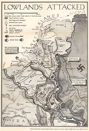
Lowlands Attacked.
sold
- Digital Map Information
- Suitable for large format printing
- File Size: 66.18 MB
- File Type: ZIP / TIFF
- ICC color profile embedded
- Delivered instantly via download link
This is a large-format separate issue 1940 Robert M. Chapin Jr. pictorial map of Belgium and the Netherlands during the German invasion of Western Europe. Published only ten days after the Nazis launched their assault, the map depicts the region from Dunkirk to Wilhemshaven and from the North Sea to Paris. Thick black arrows marked with swastikas identify the German drive west, while white tipped arrows highlight the British and French response. Explosions mark cities and airfields bombed the week before, and icons of paratroopers present where German parachute landings took place. (more details)