
Delarochette, Louis Stanislaw d'Arcy (sold)

Louis Stanislaw d'Arcy Delarochette (1731 - 1802) was a British cartographer and engraver active in London, England in the late 18th century. Delarochette produced numerous maps in conjunction with various other contemporary British cartographers including Faden, Jefferys, Laurie and Whittle, Arrowsmith, and Bowles. Delarochette is perhaps best known for his monumental eight sheet map of South America, which was used to settle numerous border disputes throughout the continent. He also produced an influential map of the Cape of Good Hope, a fine map of the West Indies, and worked with Sayer and Kitchin on their A new map of North America wherein the British Dominions in the continent of North America, and on the islands of the West Indies, are carefully laid down from all the surveys, hitherto made...
Beautifully engraved map of the Cape of Good Hope showing early Dutch settlers.
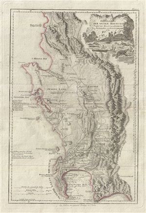
Das Vorgebirg der Guten Hofnung Verfasst von Herrn L.S. de la Rochette Neu Herausgegeben von Herrn. F.A. Schraembl.
sold
- Digital Map Information
- Suitable for large format printing
- DPI: 300
- File Size: 14.19 MB
- File Type: ZIP / TIFF
- ICC color profile embedded
- Delivered instantly via download link
An attractive example of Louis Stanislas d'Arcy Delarochette's important 1789 map of the Cape of Good Hope, South Africa. The map covers from the fictional Klipping Island and St. Helena Bay south as far as False Bay (Valsbaai), Cape Hangklip, and Cape Peninsula, ... (more details)
Scarce, Large-Format British Chart of the Caribbean.
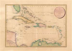
A General Chart of the West India Islands: With the Adjacent Coasts of the Spanish Continent.
sold
- Digital Map Information
- Suitable for large format printing
- Full resolution TIFF file
- ICC color profile embedded
- Delivered instantly via download link
This elegant, large map is William Faden's 1796 map of the West Indies, drawn by the British mapmaker Louis Stanislaw de la Rochette (Delarochette.) Delarochette was the preeminent cartographer working for the prolific map publisher Faden at the end of the 18th century, and this map was among the finest available, and certainly the largest English folio map to focus specifically on the West India Islands during this period. Properly speaking it is a chart, with no detail inland but an abundant and precise treatment of the coastlines. Its scope extends from Rattan or Roatán island off the coast of Honduras in the west, to include Barbados in the east; the map encompasses Trinidad in the south and Tampa Bay in the north. (more details)