
Dufour, Guillaume Henri (sold)
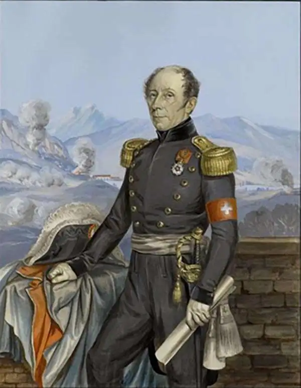
Guillaume Henri Dufour (September 15, 1787 - July 14, 1875) was a Swiss army officer, engineer and topographer. Though a career General and victorious military leader, he in 1864 presided over the First Geneva Convention, establishing the International Red Cross. As pertains to the cartographic world, was founder and president (1838 to 1865) of the Swiss Federal Office of Topography. The son of a watchmaker, Dufour had been sent school in Geneva where he studied medicine and drawing. He would go on to the École Polytechnique in Paris, then a military academy, where he studied descriptive geometry; this he followed studying military engineering at the École d'Application. When in 1810 he was sent to help defend Corfu against the British, he spent his downtime mapping the island's old fortifications. Later in his career he would be awarded the Croix de la Légion d'Honneur for his work repairing fortifications at Lyons. He returned to Switzerland in 1817, and to become commander of the Canton of Geneva's military engineers, as well becoming professor of mathematics at the University of Geneva. He continued to rise through the ranks and in 1831 was appointed quartermaster-general. In that capacity he was in 1833 commissioned to execute a trigonometrical survey of Switzerland. The final result of this monumental work, printed to 25 sheets on the scale of 1⁄100000, was published between 1842 and 1865. The Dufourspitze (the highest mountain peak in Switzerland) is named in honor of Dufour's cartographic achievements.
The Swiss Alps mapped during the first geometrically accurate survey of Switzerland.
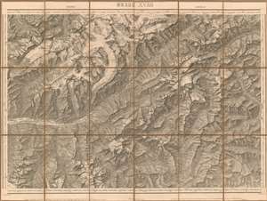
Brieg-Airolo Blatt XVIII.
sold
- Digital Map Information
- Suitable for large format printing
- DPI: 600
- File Size: 62.06 MB
- File Type: ZIP / TIFF
- ICC color profile embedded
- Delivered instantly via download link
This superbly detailed 1854 Dufour map of the municipalities of Brig-Glis and Airolo in the Lepontine Alps of Switzerland, from the first geometrically accurate map of the Swiss Confederation. It spans from the canton of Valais to the canton of Ticino; in the upper right corner can be seen Göschenen (San Gottardo on the map) and Airolo, prior to the construction of the Gotthard tunnel. The lower left includes the town of St. Niklaus. The riotously mountainous terrain embraced between these locations includes Monte Leone, the highest peak of the Lepontine range. (more details)
West-Central Switzerland mapped during the first geometrically accurate survey of Switzerland.
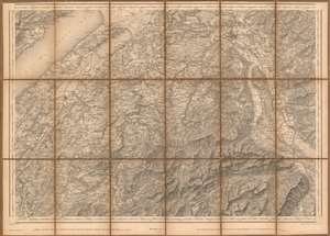
[Blatt XII. Freyburg - Bern].
sold
- Digital Map Information
- Suitable for large format printing
- Full resolution TIFF file
- ICC color profile embedded
- Delivered instantly via download link
This superbly detailed 1860 Dufour map of western and central Switzerland, from the first geometrically accurate map of the Swiss Confederation; this example is an 1875 revision of the map. It spans from the canton of Fribourg to the canton of Bern. The eastern portion of Lac de Neuchatel is shown; the map reaches as far East as the Thuner See, and as far south as Gruyères. (more details)
The Valais mapped during the first geometrically accurate survey of Switzerland.
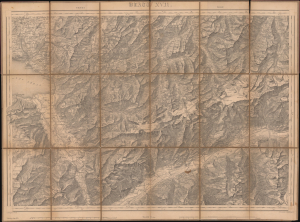
Vevey-Sion Blatt XVII
sold
- Digital Map Information
- Suitable for large format printing
- File Size: 18.33 MB
- File Type: ZIP / TIFF
- ICC color profile embedded
- Delivered instantly via download link
This superbly detailed 1844 Dufour map of the municipalities of Brig-Glis and Airolo in the Lepontine Alps of Switzerland, from the first geometrically accurate map of the Swiss Confederation; this example is an 1875 revision of the map.
It spans from the canton of Vaud to the canton of Valais. The eastern portion of Lac Léman is shown; much of the map shows the Rotten river valley, or the upper Rhone, showing the cities of Sierre, Sion, and Ridde. (more details)