
Ely, William Watson (sold)
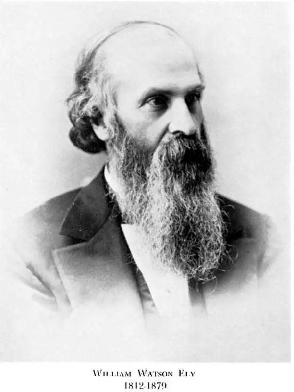
William Watson Ely (April 30, 1812 - March 27, 1879) was a Rochester, New York physician, wilderness enthusiast, and hobbyist mapmaker. Ely was born in Fairfield, Connecticut, and studied medicine at Yale, graduating in 1834. He married shortly afterward and established a medical practice at Manlius, Onondaga County, New York. He relocated his practice to the larger city of Rochester in 1839, where he remained for the remainder of his days. Despite his success as a doctor, Ely is best remembered for his remarkable mapping of the Adirondacks, completed between 1860 and 1866. His meticulous work produced the first accurate map of the Adirondacks and was the definitive map of that region for some 20 years. Ely died in Rochester of heart disease in 1879.
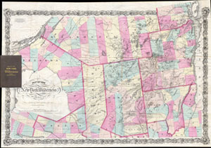
Map of the New York Wilderness.
sold
- Digital Map Information
- Suitable for large format printing
- File Size: 5.33 MB
- File Type: ZIP / TIFF
- ICC color profile embedded
- Delivered instantly via download link
A rare first edition (1867) of William Watson Ely's map of New York's Adirondack Mountains. Covers from the St. Lawrence River to Lake Champlain inclusive of the counties of St. Lawrence, Clinton, Essex, Hamilton, Warren, Herkimer, Jefferson, Lewis, and Oneida. The ... (more details)
The first accurate map of the Adirondacks.
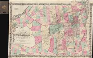
Map of the New York Wilderness.
sold
- Digital Map Information
- Suitable for large format printing
- File Size: 70.01 MB
- File Type: ZIP / TIFF
- ICC color profile embedded
- Delivered instantly via download link
A rare 1869 edition of William Watson Ely's map of New York's Adirondack Mountains - this is the first large scale map of the Adirondacks. The map covers from the St. Lawrence River to Lake Champlain inclusive of the counties of St. Lawrence, Clinton, Essex, Hamilton, Warren, Herkimer, Jefferson, Lewis, and Oneida. The whole is surrounded by an elaborate decorative vine motif border. (more details)