
Evans, Frederick John Owens (sold)

Captain Sir Frederick John Owens Evans (March 9, 1815 - December 20, 1885) was a career Royal Navy officer and hydrographer. Evans entered the navy in 1828 as a second-class volunteer. Evans served in on nine different ships before being named a master in 1841, aboard the HMS Fly. Evans and the crew of the Fly spent the next five years surveying the Coral Sea, the Great Barrier Reef, and the Torres Straits. Evans returned to the south seas in 1847, when he arrived in New Zealand with orders to survey the Middle and South Islands. He served in the Baltic Sea during the Crimean War. In 1855, well-known for his scientific knowledge, Evans was named superintendent of the compass department of the navy. He was named chief naval assistant to the Hydrographer of the Admiralty in 1865 and succeeded him in 1874. Evans resigned his post as Hydrographer in 1884 and in 1885 was appointed one of the British delegates to the International Meridian Conferenced in Washington, D.C. He died at his residence in London on December 20, 1885. Evans married Elizabeth Mary Hall on November 12, 1846.
Disputed Islands. Sailor repairs.
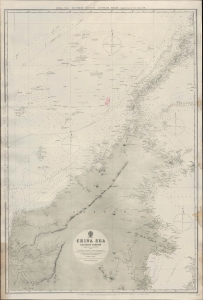
China Sea - Southern Portion - Eastern Sheet Compiled from the latest surveys, 1881. [Admiralty Chart No.] 2660 B.
sold
- Digital Map Information
- Suitable for large format printing
- File Size: 32.81 MB
- File Type: ZIP / TIFF
- ICC color profile embedded
- Delivered instantly via download link
An impressive 1884 nautical chart of a portion of the South China Sea produced by the British Admiralty. Displaying extensive evidence of use as a working chart aboard a ship, it exhibits old stiched sailor repairs. It covers the waters to the north and east of Borneo and surrounding Palawan at the western edge of the Philippines. Also included are the Spratley Islands, a disputed archipelago of islands, islets, cays, reefs, and shoals spread out over an area of some 164,000 square miles. (more details)
Depicts both Hong Kong and Macao.
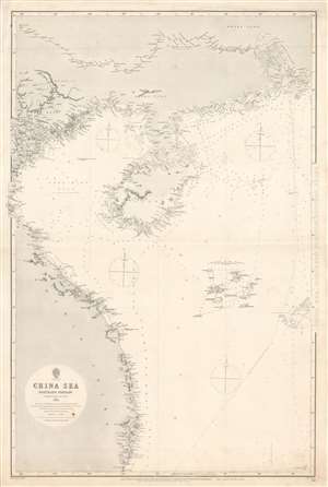
China Sea, Northern Portion, Western Sheet.
sold
- Digital Map Information
- Suitable for large format printing
- File Size: 46.76 MB
- File Type: ZIP / TIFF
- ICC color profile embedded
- Delivered instantly via download link
This is an 1886 British Admiralty nautical chart or maritime map of Vietnam, the Gulf of Tonkin, and the South China Sea. The map depicts the region from Vinh, Vietnam to Hong Kong and from Pe-sé, China to Cape Padaran, Vietnam. Incredible detail is illustrated along the entire coastline. Myriad depth soundings are indicated, with the highest concentration appearing near Hong Kong and Macau. Coastal cities and towns are labeled, along with islands, bays, and points. Little inland detail is provided, with the exception of the courses of rivers. The Paracel Islands and the Macclesfield Bank in the South China Sea are both illustrated and labeled. (more details)
Details the Chinese, Taiwanese, and Filipino coasts.
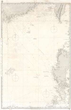
China Sea, Northern Portion, Eastern Sheet.
sold
- Digital Map Information
- Suitable for large format printing
- File Size: 36.89 MB
- File Type: ZIP / TIFF
- ICC color profile embedded
- Delivered instantly via download link
This is an 1887 British Admiralty nautical chart or maritime map of the South China Sea. The map depicts the region from Macau (Macao) to the Batan Islands and from the Pescadores Islands to Panay Island in the Philippines. Myriad depth soundings are indicated throughout, with particular focus given to the Chinese coast the Strait of Formosa, and the coastal waters of the islands in the Philippines, including Manila Bay. Coastal cities and towns are labeled in all depicted areas, such as Macao, Victoria, Hong Kong, and Manila, as are bays, points, and other coastal features. Shoals, banks, and various other hazards are also noted. Coastal lights are marked by yellow dots. (more details)