
Garcia y Cubas, Antonio (sold)
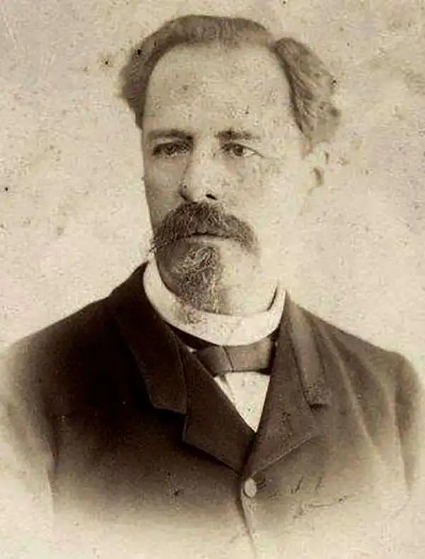
Antonio Garcia y Cubas (July 24, 1832 - February 9, 1912) was a Mexican cartographer, writer, engineer, and geographer active in Mexico City in the second half of the 19th and the early 20th centuries. He is considered Mexico's first great geographer. Garcia y Cubas was born in Mexico City. He was orphaned at birth and was raised by is aunt. When he turned 18, he enrolled in the Dirección General de Industria, a government sponsored technical school. There he studied engineering and geography, which he further pursued at the Colegio de San Gregorio, Colegio de Ingenieros. He graduated with honors in geography and from 1856, became a member of the Sociedad Mexicana de Geografía y Estadística. His geographical work earned him the Order of Guadalupe, a Mexican second empire honorific, directly from the Emperor Maximillian. He published several atlases, including his important Atlas Geográfico, Estadístico e Histórico de la República Mexicana, and multiple decorative chromolithograph Atlas Pintoresco e Históricos covering Mexico, Cuba, Spain, and elsewhere. Today his work is scarce and highly desirable.
The only historic map that mentions Mezcal!
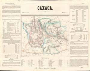
Oaxaca.
sold
- Digital Map Information
- Suitable for large format printing
- File Size: 23.73 MB
- File Type: ZIP / TIFF
- ICC color profile embedded
- Delivered instantly via download link
This is a rare 1858 Antonio Garcia y Cubas map of the state of Oaxaca, Mexico. Centered on Oaxaca City (Oajaca), coverages extends from the Guerrero border to Tehuantepec, then in a separate state, and from Veracruz to the Pacific. The map is divided into various subdistricts with considerable efforts to illustrate the region's mountainous interior - a considerable achievement for the time. Even the Pre-Columbian ruins at Mitla are noted. Only major roads are defined, underscoring just how remote and difficult to access many of these villages were - nonetheless most of the locations are noted with considerable accuracy. The map itself is surrounded by statistical tables. (more details)
Pearls and gold.
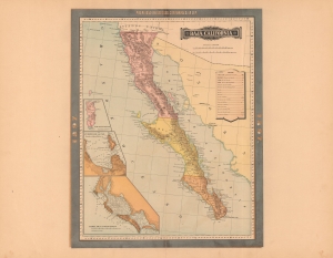
Baja California.
sold
- Digital Map Information
- Suitable for large format printing
- File Size: 59.56 MB
- File Type: ZIP / TIFF
- ICC color profile embedded
- Delivered instantly via download link
A rare 1897 color lithograph map of the Baja California by Antonio García Cubas and Vega. A year after this map was made, Baja became the seat of one of several revolutions against the government of Porfirio Díaz. Also around this time, major gold discoveries in the Santa Clara Valley fueled the economy of northern Baja. (more details)
Opening Up Oaxaca.
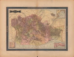
Oaxaca.
sold
- Digital Map Information
- Suitable for large format printing
- File Size: 34.51 MB
- File Type: ZIP / TIFF
- ICC color profile embedded
- Delivered instantly via download link
A lovely map of Oaxaca, Mexico, published in 1897 as part of the Atlas Geográfico de los Estados Unidos Mexicanos. It highlights the significant changes taking place in the state at the time, including the construction of a railway linking the Atlantic and Pacific Oceans across the Isthmus of Tehuantepec. (more details)