
Garcia y Cubas, Antonio
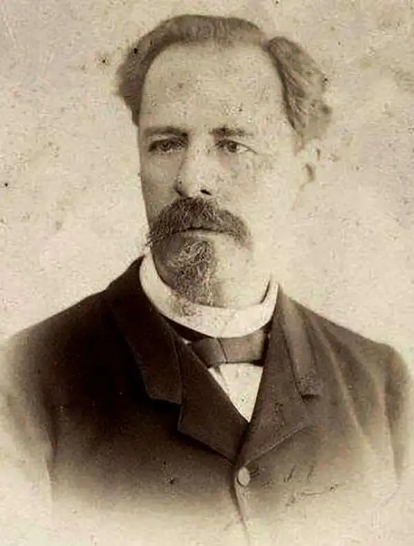
Antonio Garcia y Cubas (July 24, 1832 - February 9, 1912) was a Mexican cartographer, writer, engineer, and geographer active in Mexico City in the second half of the 19th and the early 20th centuries. He is considered Mexico's first great geographer. Garcia y Cubas was born in Mexico City. He was orphaned at birth and was raised by is aunt. When he turned 18, he enrolled in the Dirección General de Industria, a government sponsored technical school. There he studied engineering and geography, which he further pursued at the Colegio de San Gregorio, Colegio de Ingenieros. He graduated with honors in geography and from 1856, became a member of the Sociedad Mexicana de Geografía y Estadística. His geographical work earned him the Order of Guadalupe, a Mexican second empire honorific, directly from the Emperor Maximillian. He published several atlases, including his important Atlas Geográfico, Estadístico e Histórico de la República Mexicana, and multiple decorative chromolithograph Atlas Pintoresco e Históricos covering Mexico, Cuba, Spain, and elsewhere. Today his work is scarce and highly desirable.
Treasure of the Sierra Madre.
Durango.
$550.00
Acquire
- Digital Map Information
- Suitable for large format printing
- File Size: 16.45 MB
- File Type: ZIP / TIFF
- ICC color profile embedded
- Delivered instantly via download link
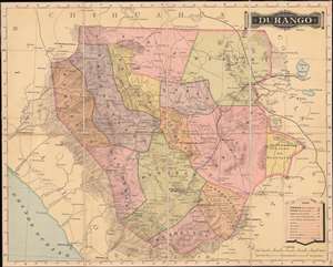
This is an 1886 Antonio Garcia y Cubas map of Durango, Mexico. When it was published, this was the best generally obtainable map of Durango - then a center of mineral wealth. Note the little pickaxe icons scattered throughout - indicators of gold, silver, and copper deposits. (more details)
Land and Labor in Chiapas.
Chiapas.
$800.00
Acquire
- Digital Map Information
- Suitable for large format printing
- File Size: 26.67 MB
- File Type: ZIP / TIFF
- ICC color profile embedded
- Delivered instantly via download link
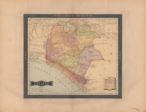
A rare 1897 color lithograph map of Chiapas by Antonio García Cubas, published by Vega y Cie for the Atlas Geográfico de los Estados Unidos Mexicanos. It depicts the state as it was transitioning towards cash crop production on large plantations, fundamentally altering the region's economy and society. (more details)
The wealthiest place in the world.
Yucatán.
$800.00
Acquire
- Digital Map Information
- Suitable for large format printing
- File Size: 66.65 MB
- File Type: ZIP / TIFF
- ICC color profile embedded
- Delivered instantly via download link
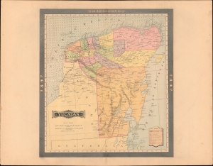
A rare 1897 color lithograph map of the Yucatán by Antonio García Cubas and Vega. The map was issued one year before the outbreak of the Spanish-American War (1898), at the height of Yucatán's significance as the global center of henequen production. Due to this industry, when this map was issued, the Yucatán was Mexico's wealthiest state and its capital, Merida, one of the world's richest cities. (more details)
Contesting Campeche.
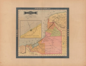
Campeche.
$500.00
Acquire
- Digital Map Information
- Suitable for large format printing
- File Size: 23.54 MB
- File Type: ZIP / TIFF
- ICC color profile embedded
- Delivered instantly via download link
An appealing map of Campeche state, Mexico, published in 1897 in the Atlas Geográfico de los Estados Unidos Mexicanos. (more details)
Mexico City and its History.

Distrito Federal.
$800.00
Acquire
- Digital Map Information
- Suitable for large format printing
- File Size: 28.81 MB
- File Type: ZIP / TIFF
- ICC color profile embedded
- Delivered instantly via download link
A colorful and fascinating sheet of maps and plates published in the 1897 edition of the Atlas Geográfico de los Estados Unidos Mexicanos. Together, the panels provide an overview of the history and present (1897) status of Mexico City and its environs. (more details)
Heartland of Mesoamerican Cultures.
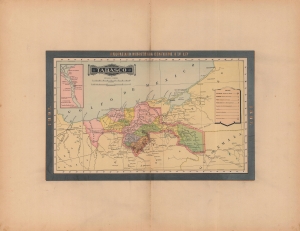
Tabasco.
$500.00
Acquire
- Digital Map Information
- Suitable for large format printing
- File Size: 24.22 MB
- File Type: ZIP / TIFF
- ICC color profile embedded
- Delivered instantly via download link
A colorful map of the Mexican state of Tabasco, published in 1897 for the Atlas Geográfico de los Estados Unidos Mexicanos. Among other features, it highlights the state's important archaeological sites, which have proved instrumental in understanding pre-Columbian Mesoamerican cultures. (more details)
Tamaulipas.
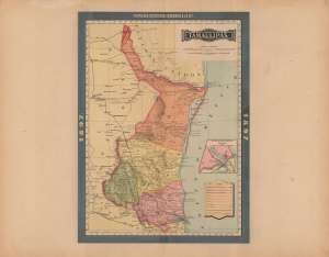
Tamaulipas.
$500.00
Acquire
- Digital Map Information
- Suitable for large format printing
- File Size: 21.62 MB
- File Type: ZIP / TIFF
- ICC color profile embedded
- Delivered instantly via download link
A chromolithograph map of the Mexican state of Tamaulipas, produced in 1897 for Antonio García Cubas' Atlas Geográfico de los Estados Unidos Mexicanos. (more details)
The 'Cradle of the Nation'.
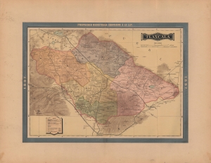
Tlaxcala.
$500.00
Acquire
- Digital Map Information
- Suitable for large format printing
- File Size: 28.17 MB
- File Type: ZIP / TIFF
- ICC color profile embedded
- Delivered instantly via download link
A lovely map of Tlaxcala, Mexico, published in the 1897 edition of Atlas Geográfico de los Estados Unidos Mexicanos. It depicts the state in the midst of an infrastructure drive that included new roads and railways. (more details)
Land of mines and mountains.
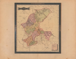
Zacatecas.
$500.00
Acquire
- Digital Map Information
- Suitable for large format printing
- File Size: 23.3 MB
- File Type: ZIP / TIFF
- ICC color profile embedded
- Delivered instantly via download link
A splendid map of Zacatecas state, Mexico, produced in 1897 for the Atlas Geográfico de los Estados Unidos Mexicanos. Among other features, it highlights the prevalence of mining in the state. (more details)
Linking the Coast with the Capital.
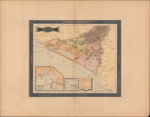
Colima.
$450.00
Acquire
- Digital Map Information
- Suitable for large format printing
- File Size: 26.71 MB
- File Type: ZIP / TIFF
- ICC color profile embedded
- Delivered instantly via download link
A map of the Mexican state of Colima, Mexico, published in 1897 for the Atlas Geográfico de los Estados Unidos Mexicanos. (more details)
Belle Epoque Edomex.
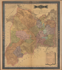
Mexico.
$600.00
Acquire
- Digital Map Information
- Suitable for large format printing
- File Size: 22.93 MB
- File Type: ZIP / TIFF
- ICC color profile embedded
- Delivered instantly via download link
This is an 1897 map of the State of Mexico (Estado de México), surrounding the capital of Mexico City, prepared by Antonio García Cubas and published by Vega y Cie. It depicts the state at the height of the Porfiriato, when impressive gains in infrastructure and wealth generation masked bubbling social unrest, particularly in the countryside. (more details)
Mexico's Historic Gateway to the Pacific - Acapulco.
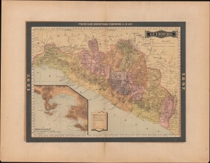
Guerrero.
$600.00
Acquire
- Digital Map Information
- Suitable for large format printing
- File Size: 27.32 MB
- File Type: ZIP / TIFF
- ICC color profile embedded
- Delivered instantly via download link
A colorful map of the Mexican state of Guerrero, published in 1897 for the Atlas Geográfico de los Estados Unidos Mexicanos. (more details)
The home of 'Carnitas'. Enough said.
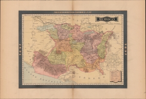
Michoacan.
$500.00
Acquire
- Digital Map Information
- Suitable for large format printing
- File Size: 25.17 MB
- File Type: ZIP / TIFF
- ICC color profile embedded
- Delivered instantly via download link
A vibrant map of the Mexican state of Michoacán, published in 1897 for the Atlas Geográfico de los Estados Unidos Mexicanos. (more details)
Homeland of Zapata.
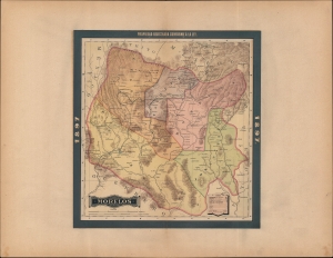
Morelos.
$450.00
Acquire
- Digital Map Information
- Suitable for large format printing
- File Size: 26.81 MB
- File Type: ZIP / TIFF
- ICC color profile embedded
- Delivered instantly via download link
A beautiful map of the Mexican state of Morelos, published in 1897 for the Atlas Geográfico de los Estados Unidos Mexicanos. (more details)
Angelópolis and environs.
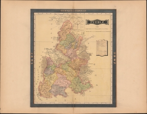
Puebla.
$500.00
Acquire
- Digital Map Information
- Suitable for large format printing
- File Size: 27.44 MB
- File Type: ZIP / TIFF
- ICC color profile embedded
- Delivered instantly via download link
An exquisite chromolithographed map of the Mexican state of Puebla, published in 1897 for the Atlas Geográfico de los Estados Unidos Mexicanos. (more details)