
Glynn, James (sold)
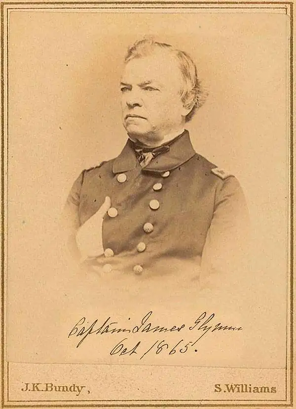
James Glynn (June 28, 1801 - March 13, 1871) was an American naval officer active in the United States during the middle part of the 19th century. Glynn joined the U.S. Navy on March 4, 1815, when he was just 14 years old. He became a lieutenant in 1825, a commander in 1841, and a captain in 1855. As a lieutenant he commanded 2 ships, the schooners U.S.S. Experiment and U.S.S. Engineer, which were charged to conduct a detailed survey of the Cape Fear River area for the potential construction of a Southern Navy Yard. During the Mexican-American War Glynn served on the coast of California. After the war, he was sent to China in command of the U.S.S. Preble, where learning of 15 American whalers imprisoned after a shipwreck in Hokkaido, he turned his attentions to Japan. Through a show of force and keen diplomacy he negotiated with the isolationist Tokugawa officials an secured the release of the surviving prisoners. His work is credited with setting the stage for the expedition of Commodore Matthew Perry to Japan in 1853 and 1854.
The finest 19th century chart of Cape Fear and Bald Head Island!
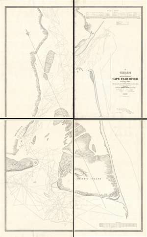
A Chart of the Entrance of Cape Fear River.
sold
- Digital Map Information
- Suitable for large format printing
- DPI: 300
- File Size: 52.16 MB
- File Type: ZIP / TIFF
- ICC color profile embedded
- Delivered instantly via download link
Without a doubt, this 1839 wall-map sized chart by James Glynn is the finest map of Cape Fear and vicinity to appear in the 19th century. Although much changed from repeat storms, this 1839 chart covers roughly from Kure Beach and Fort Fish Historic Site to the southern part of Bald Head Island (Smith Island) and from Southport (Smithville) to the Atlantic. The map exhibits a wealth of detailed soundings as well as some landside information including the course of rivers and streams, the positions of the Federal Point and Cape Fear lighthouse, and the street grid of Smithville / Southport. (more details)