
Hague, Arnold (sold)
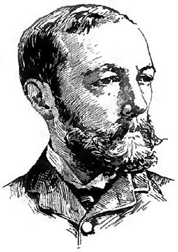
Arnold Hague (December 13, 1840 - May 14, 1917) was an American geologist and surveyor active in the late 18th and early 19th century. Hague was born in Boston, Massachusetts in 1840. As the son of a clergyman he was well educated and graduated from Yale University in 1863. Afterwards he traveled for Europe where he pursued further studies in geology at Gottingen, Heidelberg, and Freiberg. Upon his return to the United State in 1867 Hague was assigned to assist Clarence King in a study of the surface geology of the Comstock Lode and the amalgamation process, known as the ‘Washoe Process' practiced there. When the U.S. Geological Survey was formed in 1879 Hague became a founding member. In 1883 he was commissioned as the official geologist of Yellowstone National Park and assigned to study the parks famous geysers. Hague's report on Yellowstone, published in 1904, is perhaps his most significant work and certainly the work for which is best known today. Hague died in Washington D.C. in 1917. He was a member of the National Academy of Sciences, vice president of the International Congress of Geologists, and president of the United States Geological Society.
The most geothermally active place in the Western Hemisphere - Yellowstone National Park!
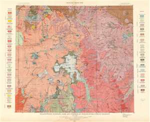
Yellowstone National Park and Portion of Yellowstone Forest Reserve. Geology Sheet XVII.
sold
- Digital Map Information
- Suitable for large format printing
- File Size: 55.72 MB
- File Type: ZIP / TIFF
- ICC color profile embedded
- Delivered instantly via download link
This is a 1904 Arnold Hague and U.S. Geological Survey geologic map of Yellowstone National Park, Wyoming. Centered on the Yellowstone Lake, the largest mountain lake in the United States, the map depicts the entirety of Yellowstone National Park, as well as part of the Yellowstone Forest Reserve. It is part of Hague's study of the region's unique geology and related geothermal activity. A legend situated on both the left and right sides details the geological formations illustrated throughout. Fault lines running throughout the park are traced using thin dashed black lines. (more details)
Features the Grand Canyon of Yellowstone.
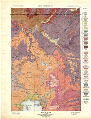
Canyon Sheet. Geology Sheet XII.
sold
- Digital Map Information
- Suitable for large format printing
- File Size: 17.77 MB
- File Type: ZIP / TIFF
- ICC color profile embedded
- Delivered instantly via download link
A fine example of Arnold Hague's 1904 geological survey map of the spectacular Grand Canyon of the Yellowstone National Park, Wyoming. The map covers the entire Canyon Region and the Absaroka Range from the Yellowstone Lake northward, along the Yellowstone River, ... (more details)
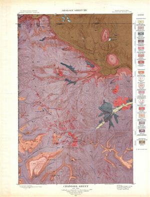
Crandall Sheet. Geology Sheet XIV.
sold
- Digital Map Information
- Suitable for large format printing
- File Size: 16.74 MB
- File Type: ZIP / TIFF
- ICC color profile embedded
- Delivered instantly via download link
A fine example of Arnold Hague's 1904 geological survey map of the spectacular Crandall Region in the Yellowstone National Park, Wyoming. Centered on Crandall Creek, the map covers the Absaroka Range from the Crow Peak to Kersey Lake in Montana. The map ... (more details)
Details the area aroun the Prismatic Spring!
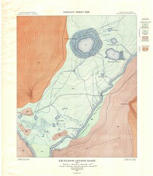
Excelsior Geyser Basin. Geology Sheet XXIII.
sold
- Digital Map Information
- Suitable for large format printing
- File Size: 11.26 MB
- File Type: ZIP / TIFF
- ICC color profile embedded
- Delivered instantly via download link
A fine example of Arnold Hague's 1904 geological survey map of the spectacular excelsior Geyser Basin in Yellowstone National Park, Wyoming. Focusing on the excelsior Geyser, the map covers the Midway Geyser Basin from Firehole River northward to the ... (more details)
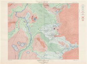
Firehole Geyser Basin. Geology Sheet XXII.
sold
- Digital Map Information
- Suitable for large format printing
- File Size: 21.78 MB
- File Type: ZIP / TIFF
- ICC color profile embedded
- Delivered instantly via download link
A fine example of Arnold Hague's 1904 geological survey map of the spectacular Firehole Geyser Basin in Yellowstone National Park, Wyoming. Focusing on the Firehole River, the map covers from Goose Lake, the Gooslings and Feather Lake northward, along ... (more details)
Includes the spectacular Mammoth Hot Spring!
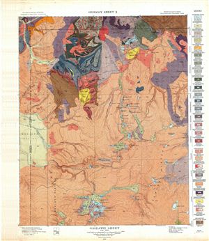
Gallatin Sheet. Geology Sheet X.
sold
- Digital Map Information
- Suitable for large format printing
- File Size: 22.26 MB
- File Type: ZIP / TIFF
- ICC color profile embedded
- Delivered instantly via download link
A fine example of Arnold Hague's 1904 geological survey map of the spectacular Gallatin Region in Yellowstone National Park, Wyoming. Centered on the Gallatin Range, the map covers from the Lower Geyser Basin and Madison Plateau to the electric Peak ... (more details)
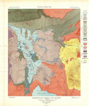
Mammoth Hot Springs and Vicinity. Geology Sheet XIX.
sold
- Digital Map Information
- Suitable for large format printing
- File Size: 16.44 MB
- File Type: ZIP / TIFF
- ICC color profile embedded
- Delivered instantly via download link
A fine example of Arnold Hague's 1904 geological survey map of the spectacular Mammoth Springs in Yellowstone National Park, Wyoming. The map covers the Mammoth Hot Spring Terraces from Terrace Mountain to Mount everts. Building over thousands of ... (more details)
The highest concentration of Geysers in the world!
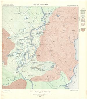
Shoshone Geyser Basin. Geology Sheet XXVI.
sold
- Digital Map Information
- Suitable for large format printing
- File Size: 11.23 MB
- File Type: ZIP / TIFF
- ICC color profile embedded
- Delivered instantly via download link
A fine example of Arnold Hague's 1904 geological survey map of the spectacular Shoshone Geyser Basin in Yellowstone National Park, Wyoming. Centered on the Shoshone Creek, the map covers the basin from the Shoshone River and Fall Creek to Yellow ... (more details)
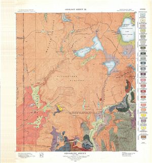
Shoshone Sheet. Geology Sheet XI.
sold
- Digital Map Information
- Suitable for large format printing
- File Size: 22.36 MB
- File Type: ZIP / TIFF
- ICC color profile embedded
- Delivered instantly via download link
A fine example of Arnold Hague's 1904 geological survey map of the spectacular Shoshone Region in Yellowstone National Park, Wyoming. Centered on Pitchstone Plateau, the map covers from Snake River northwards, along the river, to Shoshone Lake ... (more details)
Includes Old Faithful!
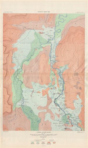
Upper Geyser Basin. Geology Sheet XXIV.
sold
- Digital Map Information
- Suitable for large format printing
- File Size: 28.87 MB
- File Type: ZIP / TIFF
- ICC color profile embedded
- Delivered instantly via download link
A fine example of Arnold Hague's 1904 geological survey map of the spectacular Upper Geyser Basin in Yellowstone National Park, Wyoming. Focusing on the Iron Creek and the Firehole River, the map covers from the famous Old Faithful Geyser ... (more details)
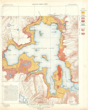
The Shores of Yellowstone Lake. Geology Sheet XXVII.
sold
- Digital Map Information
- Suitable for large format printing
- File Size: 12.78 MB
- File Type: ZIP / TIFF
- ICC color profile embedded
- Delivered instantly via download link
A fine example of Arnold Hague's 1904 geological survey map of the spectacular shores of the Yellowstone Lake in Yellowstone National Park, Wyoming. Centered on the Yellowstone Lake, the largest mountain lake in the United States, the ... (more details)
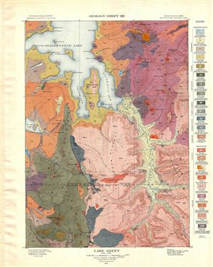
Lake Sheet. Geology Sheet XIII.
sold
- Digital Map Information
- Suitable for large format printing
- File Size: 15.07 MB
- File Type: ZIP / TIFF
- ICC color profile embedded
- Delivered instantly via download link
A fine example of Arnold Hague's 1904 geological survey map of the spectacular Yellowstone Lake Region of the Yellowstone National Park, Wyoming. The map covers from the Absaroka Range to the Big Game Ridge and from the lower half of ... (more details)
The best early map of Yellowstone Park!
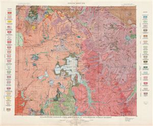
Yellowstone National Park and Portion of Yellowstone Forest Reserve. Geology Sheet XVII.
sold
- Digital Map Information
- Suitable for large format printing
- File Size: 23.43 MB
- File Type: ZIP / TIFF
- ICC color profile embedded
- Delivered instantly via download link
A fine example of Arnold Hague's 1904 geological survey map of the spectacular Yellowstone National Park, Wyoming. Centered on Yellowstone Lake, the map covers the entire park as well as the adjacent parts of the Yellowstone Forest ... (more details)
Features the Grand Canyon of Yellowstone.
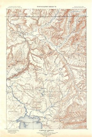
Canyon Sheet. Topography Sheet VI.
sold
- Digital Map Information
- Suitable for large format printing
- File Size: 11.9 MB
- File Type: ZIP / TIFF
- ICC color profile embedded
- Delivered instantly via download link
A fine example of Arnold Hague's 1904 topographical survey map of the spectacular Grand Canyon of the Yellowstone National Park, Wyoming. The map covers the entire Canyon Region and the Absaroka Range from the Yellowstone Lake ... (more details)
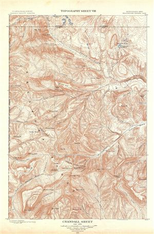
Crandall Sheet. Topography Sheet VIII.
sold
- Digital Map Information
- Suitable for large format printing
- File Size: 13.96 MB
- File Type: ZIP / TIFF
- ICC color profile embedded
- Delivered instantly via download link
A fine example of Arnold Hague's 1904 topographical survey map of the spectacular Crandall Region in the Yellowstone National Park, Wyoming. Centered on Crandall Creek, the map covers the Absaroka Range from the Crow Peak to ... (more details)
Includes the spectacular Mammoth Hot Spring!
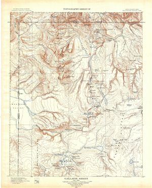
Gallatin Sheet. Topography Sheet IV.
sold
- Digital Map Information
- Suitable for large format printing
- File Size: 12.75 MB
- File Type: ZIP / TIFF
- ICC color profile embedded
- Delivered instantly via download link
A fine example of Arnold Hague's 1904 topographical survey map of the spectacular Gallatin Region in Yellowstone National Park, Wyoming. Centered on the Gallatin Range, the map covers from the Lower Geyser Basin and Madison ... (more details)
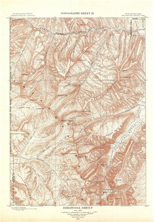
Ishawooa Sheet. Topography Sheet IX.
sold
- Digital Map Information
- Suitable for large format printing
- File Size: 13.68 MB
- File Type: ZIP / TIFF
- ICC color profile embedded
- Delivered instantly via download link
A fine example of Arnold Hague's 1904 topographical survey map of the spectacular Ishawooa Region in the Yellowstone National Park, Wyoming. Centered on Ishawooa Cone, the map covers the Absaroka Range from the Thorofare ... (more details)
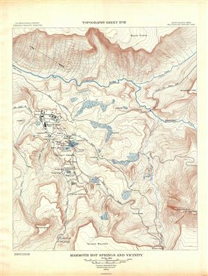
Mammoth Hot Springs and Vicinity. Topography Sheet XVIII.
sold
- Digital Map Information
- Suitable for large format printing
- File Size: 11.86 MB
- File Type: ZIP / TIFF
- ICC color profile embedded
- Delivered instantly via download link
A fine example of Arnold Hague's 1904 topographical survey map of the spectacular Mammoth Springs in Yellowstone National Park, Wyoming. The map covers the Mammoth Hot Spring Terraces from Terrace Mountain to Mount ... (more details)
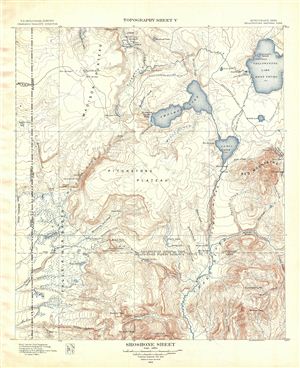
Shoshone Sheet. Topography Sheet V.
sold
- Digital Map Information
- Suitable for large format printing
- File Size: 10.55 MB
- File Type: ZIP / TIFF
- ICC color profile embedded
- Delivered instantly via download link
A fine example of Arnold Hague's 1904 topographical survey map of the spectacular Shoshone Region in Yellowstone National Park, Wyoming. Centered on Pitchstone Plateau, the map covers from Snake River northwards, ... (more details)
Includes Old Faithful!
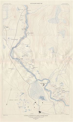
Central Posrtion of Upper Geyser Basin. Topography Sheet XXV.
sold
- Digital Map Information
- Suitable for large format printing
- File Size: 16.76 MB
- File Type: ZIP / TIFF
- ICC color profile embedded
- Delivered instantly via download link
A fine example of Arnold Hague's 1904 topographical survey map of the spectacular Upper Geyser Basin in Yellowstone National Park, Wyoming. Focusing on the Firehole River, the map covers from Geyser Hill (and the ... (more details)
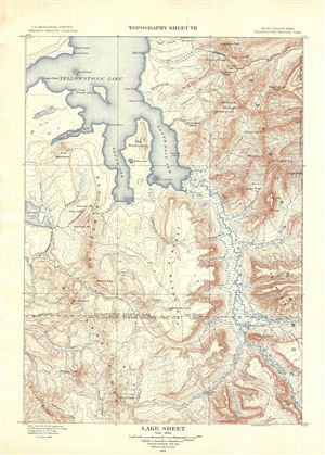
Lake Sheet. Topography Sheet VII.
sold
- Digital Map Information
- Suitable for large format printing
- File Size: 10.91 MB
- File Type: ZIP / TIFF
- ICC color profile embedded
- Delivered instantly via download link
A fine example of Arnold Hague's 1904 topographical survey map of the spectacular Yellowstone Lake Region of the Yellowstone National Park, Wyoming. The map covers from the Absaroka Range to the Big Game Ridge ... (more details)
The best early map of Yellowstone Park!

Yellowstone National Park and Portion of Yellowstone Forest Reserve. Topography Sheet XVI.
sold
- Digital Map Information
- Suitable for large format printing
- File Size: 23.1 MB
- File Type: ZIP / TIFF
- ICC color profile embedded
- Delivered instantly via download link
A fine example of Arnold Hague's 1904 topographical survey map of the spectacular Yellowstone National Park, Wyoming. Centered on Yellowstone Lake, the map covers the entire park as well as the adjacent parts ... (more details)