
Hondius, Jodocus the Younger (sold)

Jodocus Hondius II (1594 – 1629) was a Dutch engraver, cartographer and publisher. The elder son of the cartographer Jodocus Hondius, Jodocus took over the business after father died in 1612, co-running the business with his brother Henricus II. He was an accomplished engraver, to the extent that upon his death Willem Blaeu would purchase thirty-four of Hondius' plates to be included in his new atlases.
Only America map of the Mercator Atlas.
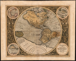
America, siue, India Nova : ad magnae Gerardi Mercatoris aui vniversalis imitationem in compendium redacta.
sold
- Digital Map Information
- Suitable for large format printing
- Full resolution TIFF file
- ICC color profile embedded
- Delivered instantly via download link
This is Mercator's 1595 America, one of the most visually arresting maps of the Western Hemisphere. It is the only map of America to appear in an atlas directly connected to the great Gerard Mercator, here in a first Atlas edition of 1595. (more details)
The only America map of the Mercator Atlas.
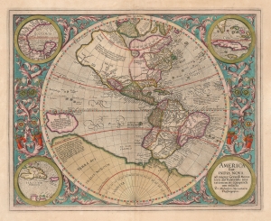
America, siue, India Nova. Ad magnae Gerardi Mercatoris aui vniversalis imitationem in compendium redacta.
sold
- Digital Map Information
- Suitable for large format printing
- DPI: 600
- File Size: 51.54 MB
- File Type: ZIP / TIFF
- ICC color profile embedded
- Delivered instantly via download link
This is a beautifully colored 1613 Hondius edition of Mercator's America, one of the most visually arresting early maps of the Western Hemisphere. (more details)
The hunt for El Dorado.
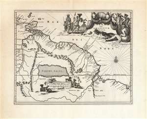
Guiana sive Amazonum Regio.
sold
- Digital Map Information
- Suitable for large format printing
- DPI: 600
- File Size: 35.21 MB
- File Type: ZIP / TIFF
- ICC color profile embedded
- Delivered instantly via download link
This beautiful engraving is a 1673 Arnold Montanus map of the northwestern parts of South America, including Lake Parima (Parime Lacus), revealing the hoped-for route to El Dorado. Coverage embraces from Isla Margarita and the Orinoco Delta eastward as far as Tampico and southwards as far as the Amazon River. Geographically, the map is a faithful copy of a map of the same title engraved by Jodocus Hondius Jr. in 1629, and published by the Blaeu and Hondius firms throughout the 17th century. This whole lineage of maps derives from Hessel Gerritz' seminal Guaiana ofte de Provincien tusschen Rio de las Amazonas ende Rio de Yuiapari ofte Orinoque, a map based equally on Gerritz' own travels to the West Indies and the firm belief of travelers and geographers alike in the existence of El Dorado. This example appeared in Montanus' 1673 Unbekannte Neue Welt, having been engraved by Montanus for John Ogilby's America in 1671 (there is no alteration to the plate between these two issues, and no clear distinction to be made between them). (more details)