
Junker, Wilhelm (sold) (Василий Васильевич Юнкер)
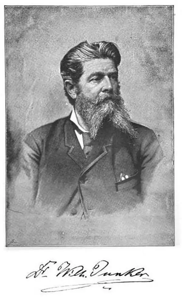
Wilhelm Junker (Василий Васильевич Юнкер; April 6, 1840 - February 13 1892) was a Russian explorer of Africa. Born in Moscow of German descent, he studied medicine at Dorpat, Göttingen, Berlin and Prague, left medicine for a lifetime of travel, which took him to Iceland, Western Africa, Tunis and Lower Egypt. Between 1875 and 1888 he explored eastern Equatorial Africa from 1875 to 1886, based first in Khartoum and afterwards Wadelai in the Lado Enclave, when the Mahdist revolt made Khartoum unsafe. Junker was known for his painstaking study of the people whose countries he visited, as well as his study of flora and fauna. His travels in the Nile-Congo region results in the correct identification of the Uele and the Ubangi rivers. His African studies earned him the gold medal of the Royal Geographical Society in 1887.
AKA: Василий Васильевич Юнкер
Superbly Detailed Map of the Sudan and the Upper Nile and Congo Basins During the Scramble for Africa
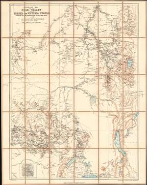
General Map of the Nile Valley from Berber to Victoria Nyanza Compiled at the Intelligence Division War Office 1898.
sold
- Digital Map Information
- Suitable for large format printing
- File Size: 38.32 MB
- File Type: ZIP / TIFF
- ICC color profile embedded
- Delivered instantly via download link
This is an 1898 British War Office, Intelligence Division map of the Upper Nile River Valley published by the Ordnance Survey. The map, printed in black, blue and sepia in the meticulous detail typical of the War Office's maps, encompasses the headwaters of the Blue Nile, the White Nile, and the northeastern Congo watershed: this region embraces Sudan as far north as Berber; Western Sudan, including the Darfur region; most, if not all, of South Sudan; Eritrea and most of inland Ethiopia; the eastern reaches of the Central African Republic; and the northeastern portion of the Democratic Republic of the Congo (Stanley Falls appears in the lower left hand corner of the map.) Most of Uganda is included, as is western Kenya. At the lower left is a detail map of Mashra‘ ar Raqq (Meshra er Rek, on the map.) (more details)