
Kendrick, Eleazer Porter (sold)
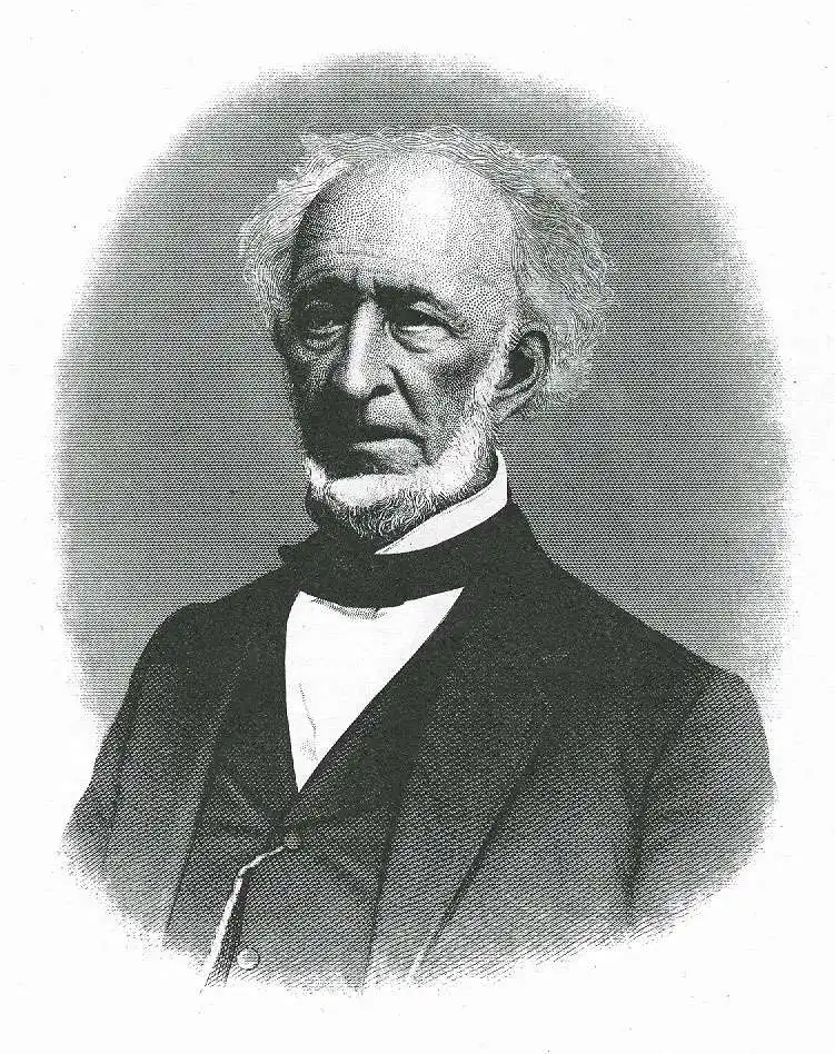
Eleazer Porter Kendrick (September 15, 1790 - April 30, 1885) was an American surveyor and mapmaker active in the early to middle parts of the 19th century. Kendrick was born in Hanover, New Hampshire, the son of Sargent Samuel Kendrick and his wife Anna Kendrick. He grew up on a farm, working the fields in the summer and attending the Hanover Moore School, then primarily an American Indian school, in the winter. He also studied English grammar under the Rev. Dr. Eden Burroughs. He began teaching at country schools when he was 18 and eventually, on a recommendation from his brother, the lawyer Samuel Kendrick, took work at an exclusive boarding school. In 1819 he emigrated to Ohio to start a boot shop with his brother Thomas Kendrick. This business failed in 1821. Afterwards, in partnership with Allen Latham, the Surveyor-General of the Virginia Military District and a Dartmouth graduate who knew Kendrick's family from Hanover, he began to purchase lands in the Virginia Military District. At this time, under Latham, he also began to learn surveying. Proving a meticulous surveyor, he served as Latham's deputy. In 1827 he was called on to survey the Indian-Michigan boundary line. Afterwards he settled in Chillicothe where he was elected county surveyor on the democratic ticket. Under the presidency of Andrew Jackson, he was appointed postmaster of Chillicohe. When his appointment was superseded by an appointee under President Harrison, Kendrick took Latham's former job as Surveyor-General of the Virginia Military District. Kendrick was also a Freemason with the rank of Knight Templar. With his wife, Mary Cissna Beard, Kendrick, he had seven children, including a son, Samuel, who became a notable civil engineer.
Map that reveals the lost Indiana-Michigan border!
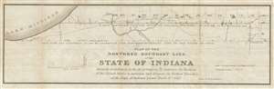
Plat of the northern boundary line of the state of Indiana : surveyed in conformity to the Act of Contress, 'To authorize the President of the United States to ascertain and designate the northern boundary of the state of Indiana: passed March 2nd, 1827.
sold
- Digital Map Information
- Suitable for large format printing
- DPI: 300
- File Size: 9.59 MB
- File Type: ZIP / TIFF
- ICC color profile embedded
- Delivered instantly via download link
This is a scarce 1827 Eleazer P. Kendrick map drawn to determine the Indiana-Michigan border. The map extends from Lake Michigan to Ohio and covers territory approximately 20 miles from north to south. When Michigan territory was established in 1805 its southern ... (more details)